Opis
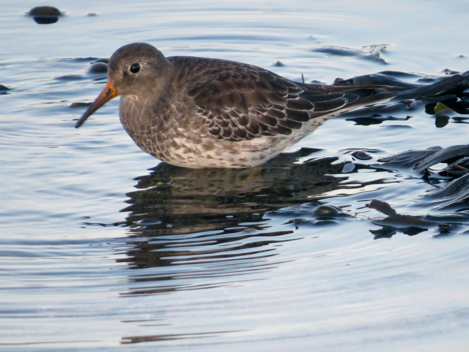
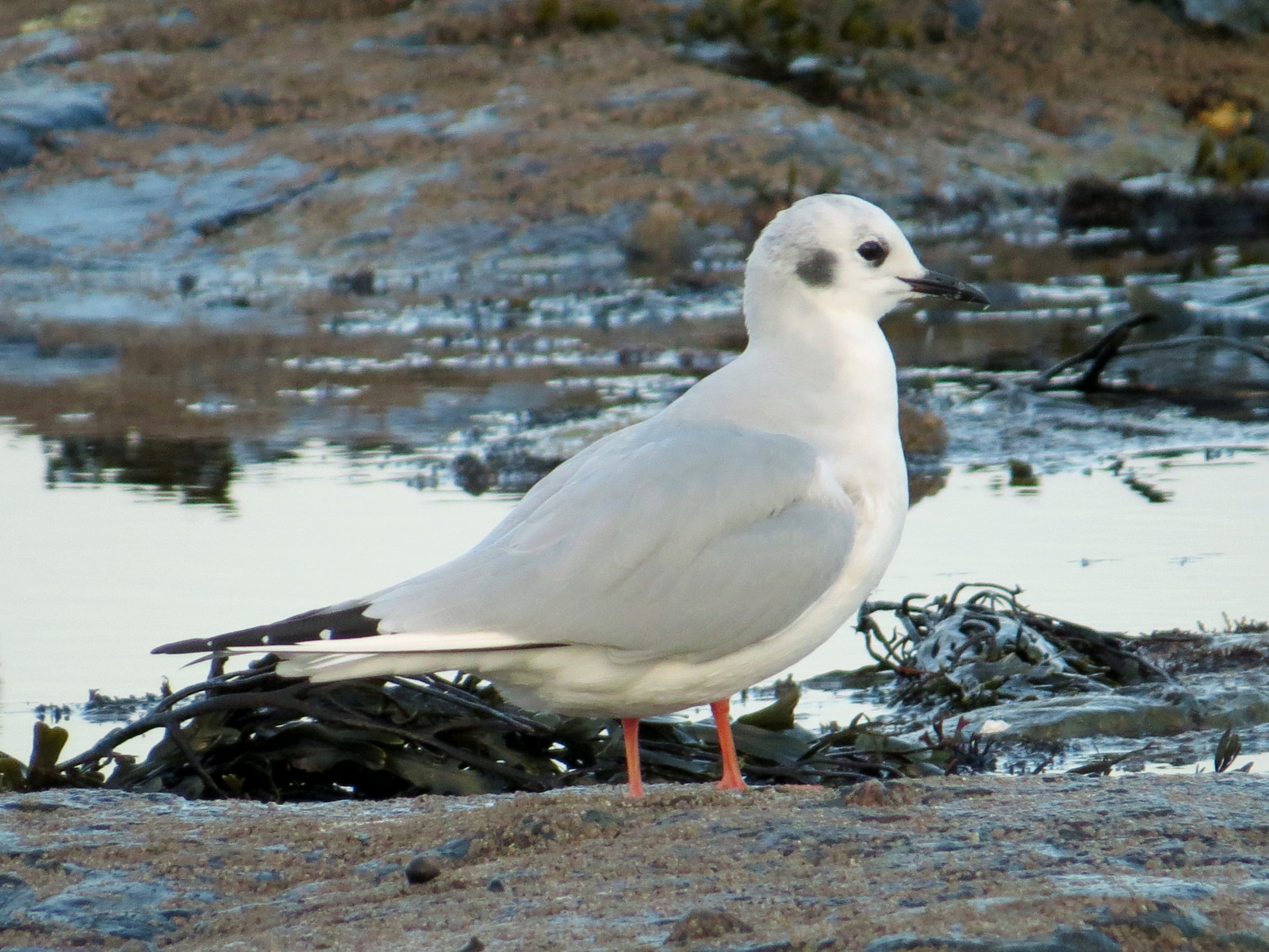
In Bamburgh wintering waders and sea ducks are a speciality, best seen from Stag Rocks, a low rocky promontory 1 km northwest of the village. Regular sightings include markaczka, uhla, lodówka, lodowiec, and perkoz rogaty. A large flock of biegus morski is also regular there, and single vagrant markaczka amerykańska and mewa kanadyjska have been returning visitors in late autumn and winter for the last 12 years (the mewa kanadyjska has returned for its 12th season in October 2024). Sea-watching is also excellent, for ducks, gulls and divers in particular. Another 2 km further on is the tidal Budle Bay, attracting wintering waders and wildfowl. In winter the fields surrounding Budle Bay attract wildfowl, especially gęś krótkodzioba, bernikla białolica, and łabędź krzykliwy. Raptors and owls are seen regularly.
Szczegóły
Dostęp
Main car parking at east end of village, with smaller parking available off lane west, towards Bamburgh Golf Club. Parking for Budle Bay is at Waren Mill, on the B1342. Bamburgh is accessible by bus - services X18 (Newcastle to Berwick, via a coastal route) and 418 (Alnwick to Belford). Nearest rail station is at Berwick, 20km north, from where it is possible to cycle, but advisable to avoid using the A1 trunk road.
When using the coastal public footpath north from Stag Rocks, beware of golf balls; keep an eye out for golfers and respect their play.
Teren i siedlisko
Rzadkie drzewa i krzewy , Łąka , Morze , Wydmy , Plaża , BłotaWarunki
Płaski , Otwarty krajobraz , Możliwy wysoki poziom wody , Piaszczysty , SkalistyTrasa dookoła
NieCzy luneta będzie przydatna ?
TakUdany sezon obserwacyjny
Przez cały rokNajlepszy czas na wizytę
Zima , Wiosenne migracje , JesieńTrasa
Wąski szlak , Szeroka ścieżka , Droga utwardzona , Droga nieutwardzonaPoziom trudności szlaku pieszego
Średnio wymagający spacerDostępne
Rower , Samochód , PieszoCzatownia/platforma obserwacyjna
NieDodatkowe informacje
The name Stag Rocks derives from a white painting of a stag on the rocks just above the high water mark, southeast of the lighthouse.


 ) aby wstawić nazwy ptaków w swoim języku ojczystym. Nazwy ptaków zostaną automatycznie przetłumaczone dla innych użytkowników!