Opis
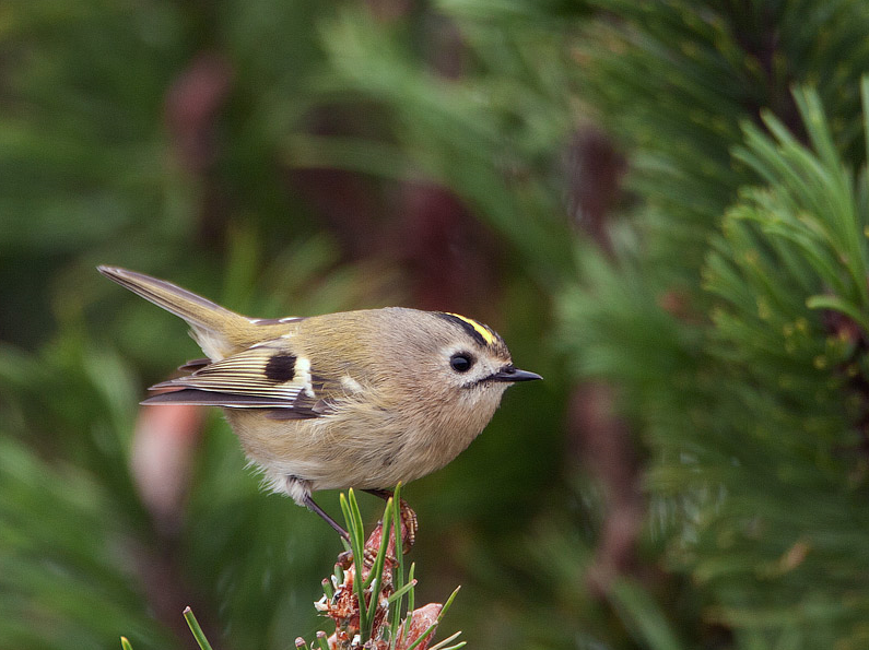
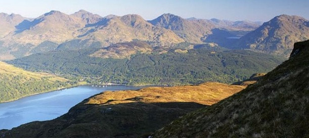
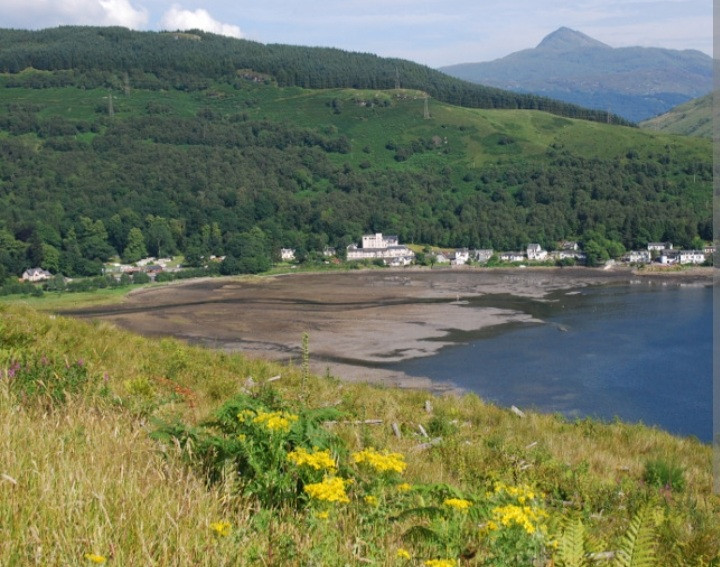
Succoth is at the north end of the tidal Loch Long, thus at low tide there may be ostrygojad, ohar, kulik wielki, biegus zmienny, piaskowiec, samotnik, divers, gulls, terns, otters and seals. In the forest and on higher ground look for mysikrólik, krzyżodziób świerkowy, pełzacz leśny, czyż, błotniak zbożowy, drzemlik, uszatka błotna, drozd obrożny, red deer, sokół wędrowny, Pardwa mszarna, cietrzew, pliszka górska and pluszcz. Above 2,000 feet there may be mountain hares, pardwa górska, mornel and śnieguła.
Szczegóły
Dostęp
Succoth is on the 'Rest and be thankful' A83 road just north of Arrochar. From Glasgow head north on the A82 then fork left at the A83 junction. Nearest train station Arrochar.
Walk start points other than Succoth are problematic. The Ardgartan Visitor Centre is permanently closed. The Rest and Be Thankful and Butterbridge car parks offer steep climbs over long grass with no recognised path.
There are a choice of climbs, the most challenging being Beinn Ime at 1011metres/3,300ft. Total ascent being 1400 metres, Distance 12 km. Only attempt this if you are fit and experienced at climbing. Be prepared, check the forecast and equip yourself with stout boots, waterproof clothing, food, water, map, compass, charged mobile phone.


 ) aby wstawić nazwy ptaków w swoim języku ojczystym. Nazwy ptaków zostaną automatycznie przetłumaczone dla innych użytkowników!