

Opis
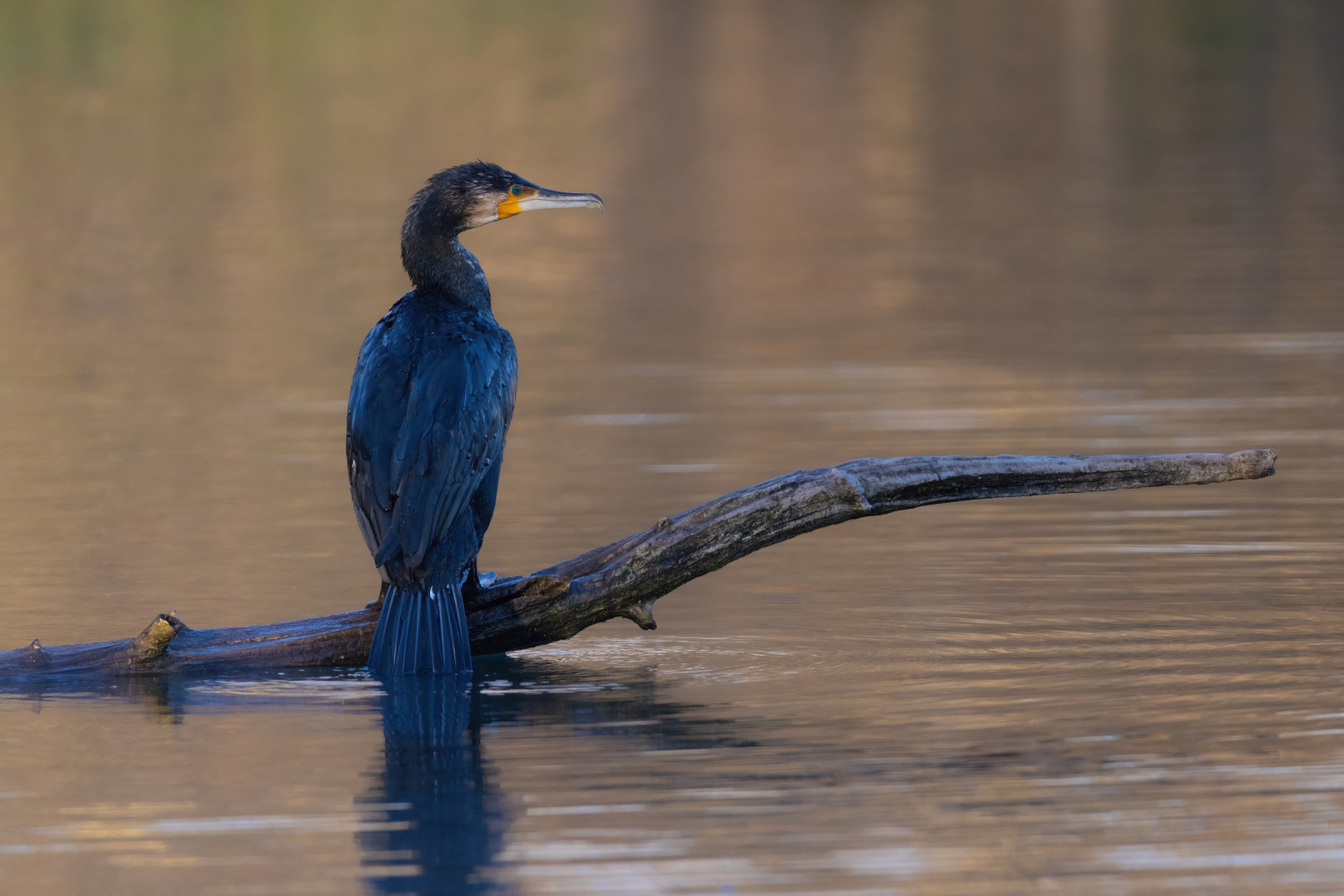
Abberton reservoir is one of the most important places for wildfowl in Britain. It is the fourth largest reservoir in England with an area of nearly 5 square kilometres (1,200 acres). Due to its location near the East coast fly-way more then 280 bird species have been seen here. It is also a protected Ramsar Site. There is a visitor centre, or if preferred, the area can be viewed from 2 causeways which cross the reservoir with public roads, so it is accessible at all times. Many waterbirds and waders can be seen here like rożeniec, batalion, cyranka, bielaczek, nurogęś, rycyk, wodnik (zwyczajny), błotniak stawowy and many more.
Szczegóły
Dostęp
Visitor signs are around the local area. There are visiting times if entering the reserve proper, or the causeways, which are public roads are always open. There is parking at the road side. If parking here, there are solid, flat footpaths. If you want to explore Abberton Reservoir by foot, you can walk some nice trails around the visitor centre.
Another way to explore the reservoir is by bicycle. On the map you find a circular cycle ride of 10 miles (16 km). It follows quiet roads and country lanes. Habitats seen include open water, reedbed, scrapes and lagoons, rough grassland, wood, scrub, pasture and arable farmland. The cycle route starts at the visitor centre. Note: After heavy rains, part of the route can be very muddy and not suitable for cycling, so only start cycling this route in dry weather conditions.


 ) aby wstawić nazwy ptaków w swoim języku ojczystym. Nazwy ptaków zostaną automatycznie przetłumaczone dla innych użytkowników!