

Opis
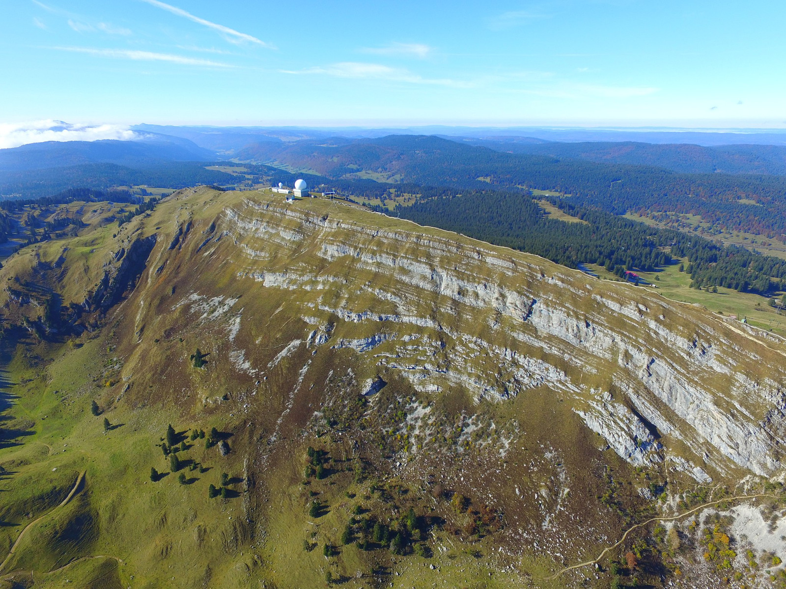
La Dôle is a mountain in the westernmost part of the canton of Vaud. Rising to an altitude of 1677 meters, it is the second highest peak in the Swiss part of the Jura. La Dôle is situated between the French and Swiss borders. From its summit you can admire a stunning view: on one side the Alps with the Mont Blanc and Lake Geneva and on the other side the Mont-Jura and the Lake of Les Rousses. In this beautiful area, where you can easily walk around for a day, you can see many bird species. Among the birds you can encounter are kania ruda, kania czarna, gil, osetnik, siwerniak, białorzytka, jaskólka skalna, pustułka (zwyczajna) and myszołów. Also a lot of kopciuszek, paszkot, kruk and small chance of wieszczek.
Szczegóły
Dostęp
Free parking at 'Chalet de la Dole' parking lot. Click on the P in the map for directions. The circular walk indicated on the map is about 4 km. Please note, most of this hike is strenuous. It is mountainous area. Put on suitable clothing.
Teren i siedlisko
Las , Równina , Góry , Kanion/klif , Płaskowyż , Rzadkie drzewa i krzewyWarunki
Górzysty , Suchy , Skalisty , PagórkowatyTrasa dookoła
TakCzy luneta będzie przydatna ?
NieUdany sezon obserwacyjny
Wiosna , Jesień , LatoNajlepszy czas na wizytę
Wiosna , Wiosenne migracjeTrasa
Droga nieutwardzona , Wąski szlakPoziom trudności szlaku pieszego
ForsownyDostępne
PieszoCzatownia/platforma obserwacyjna
NieDodatkowe informacje
Photo La Dôle by Alexey M., CC BY-SA 4.0, https://creativecommons.org/licenses/by-sa/4.0, via Wikimedia Commons.


 ) aby wstawić nazwy ptaków w swoim języku ojczystym. Nazwy ptaków zostaną automatycznie przetłumaczone dla innych użytkowników!