

Opis
Galterö is one of the outer islands of the southern Gothenburg archipelago with beautiful views of the neighbouring islands and the open sea. The island is remote and gives the impression of wilderness, but it can be easily reached from the mainland by the regular passenger ferry. The beach meadows of the almost untouched island are a reservoir for numerous endangered plant species, fungi and insects as well as breeding grounds for numerous bird species. Ducks and waders, birds of prey and small birds nest and breed here. During the summer months sheep graze on the meadows to maintain their typical character and to keep them free of scrubs.
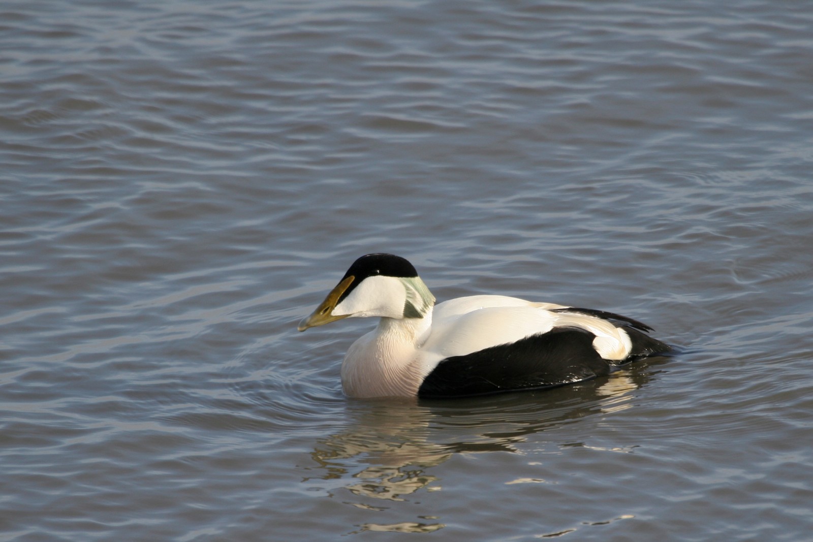
During the breeding season bernikla białolica, świergotek łąkowy, ostrygojad and other species common to the archipelago are seen. If you are lucky, you can also see kuropatwa. The island is of great interest for waders during the summer and autumn migration when the sandy and muddy lagoons become nice rest areas. siewnica, szlamnik, biegus krzywodzioby, biegus rdzawy and mainly biegus zmienny can be seen very nicely. Rare birds that have been observed are siewka szara, birginiak, białozór and more. The area is usually also good for rybitwa czubata during the summer.
Szczegóły
Dostęp
From Saltholmen you take the ferry to Brännö (You can get there within 18 minutes with the passenger ferry line 283, which runs regularly between Saltholmen on the mainland and the harbour Brännö-Rödsten). From the harbour at Rödsten you walk about two kilometres across the island to the northwest side where a stone bridge leads across a narrow strait to the island of Galterö. The circular walk from the harbour at Rödsten, around Galterö and back to the harbour is about 10 km long.


 ) aby wstawić nazwy ptaków w swoim języku ojczystym. Nazwy ptaków zostaną automatycznie przetłumaczone dla innych użytkowników!