

Opis
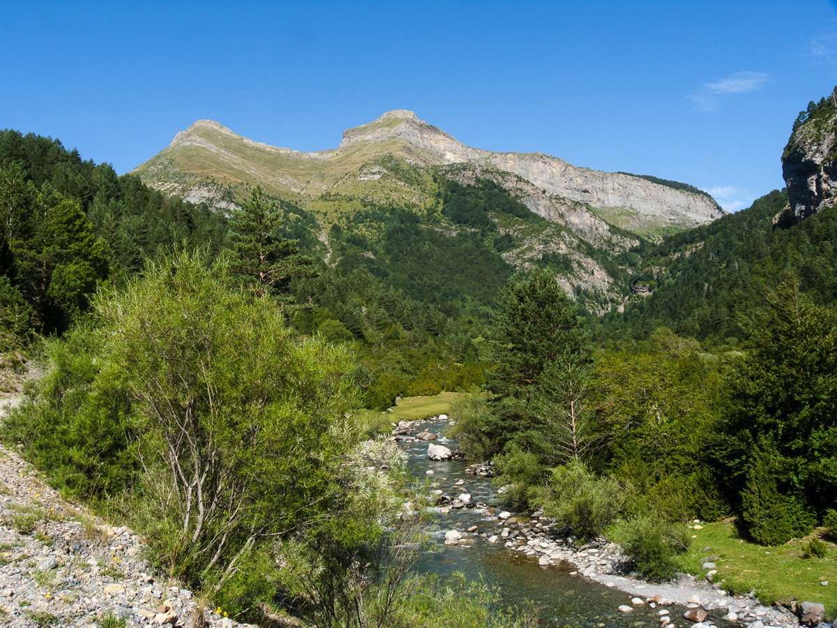
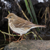
Ruta Ornitologica Valle de Bujaruelo is a birdwatching trail in a valley with a river of crystal clear waters coming from the peaks of the Pyrenees. A biosphere reserve area that is in very good condition and where you can find alpine bird species. The cliffs and aquatic areas that occur in this mountain area attract many birds. In addition, it is a route accessible to almost everyone and allows you to see high mountain species such as orłosęp, pardwa górska, siwerniak, pluszcz, płochacz halny, wronczyk, wieszczek and pomurnik.
_________________________
Español: Valle del rio Ara en la reserva de la biosfera de Ordesa-Viñamala. Donde se pueden encontrar las aves de la alta montaña y las rivereñas de estas zonas. Un valle preciso con un rio de aguas cristalinas procedente de los picos del pirineo. Una zona reserva de la biosfera que se encuentra en muy buen estado. Donde podemos encontrar especies alpinas. Tanto de riscos, como acuáticas que se dan en zonas de montaña. Además, es un recorrido accesible para casi todo el mundo y te permite divisar espcies propias de alta montaña como orłosęp, pardwa górska, siwerniak, pluszcz, płochacz halny, wronczyk, wieszczek, pomurnik ....
Szczegóły
Dostęp
Ruta Ornitologica Valle de Bujaruelo is accessible from the refuge of Bujaruelo. To get there, you can take the forest track that begins on the A-135 road, after passing the town of Torla. Click on the P in the map to get directions to the parking next to the refuge. The walking route indicated on the map is about 12 km
_________________________
Español: El refugio es accesible mediante vehículo, contando con un aparcamiento en su costado. Para llegar hasta allí, podrás tomar la pista forestal que comienza en la carretera A-135, tras pasar la localidad de Torla. Haz clic en la P en el mapa para obtener indicaciones para llegar al aparcamiento al lado del refugio. La ruta a pie indicada en el mapa es de unos 12 km.


 ) aby wstawić nazwy ptaków w swoim języku ojczystym. Nazwy ptaków zostaną automatycznie przetłumaczone dla innych użytkowników!