 (003).jpg)
Opis
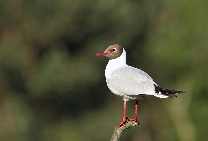
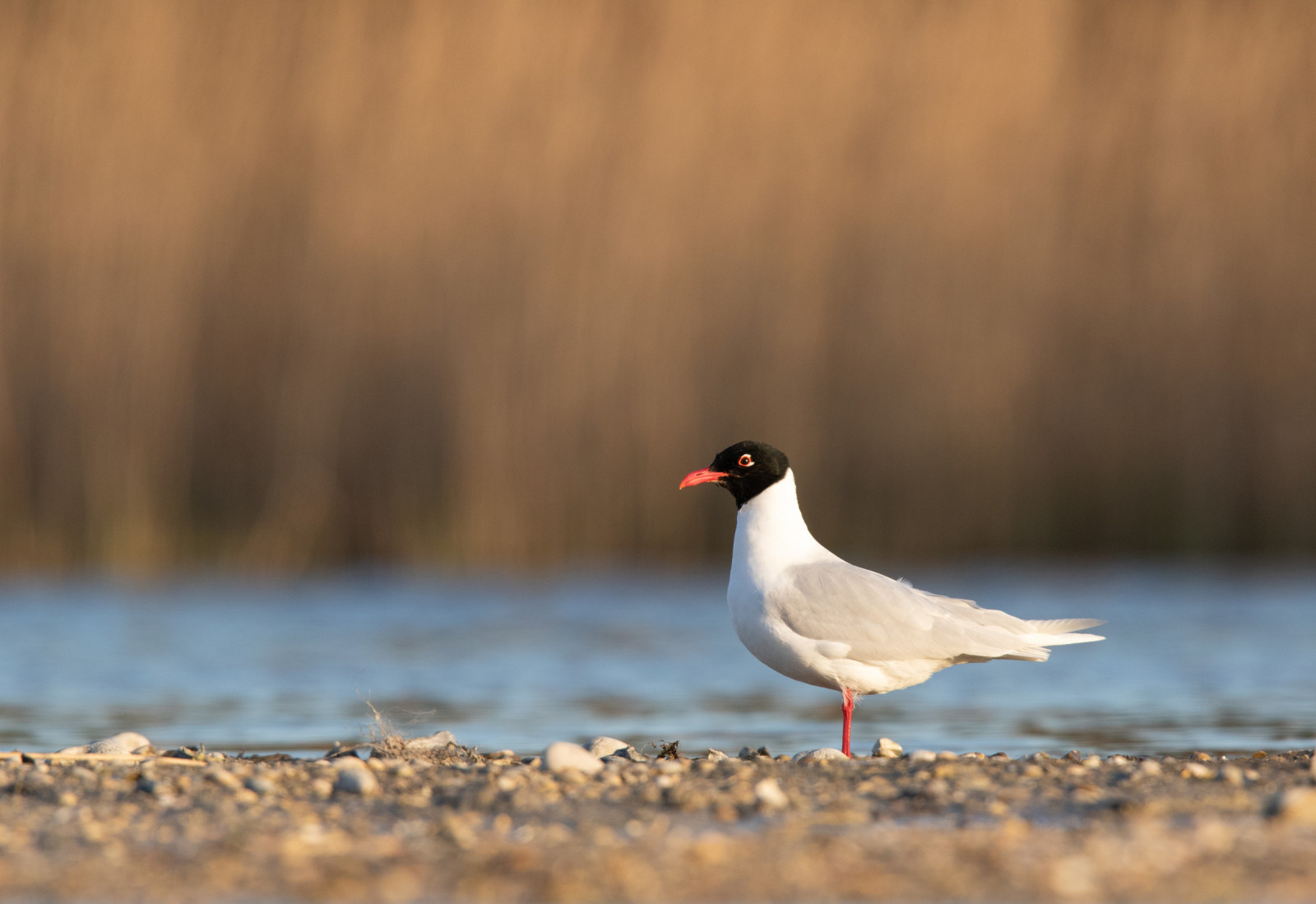
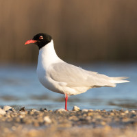
Portmán Bay is a coastal area that is interesting for gulls. Portmán Bay is part of a regeneration project. Mining activity began in this area at the end of the 50s until it was closed in the 90s of the 20th century. It made the natural bay disappear under millions of tons of waste, it is today the largest open-air mining waste dump in Spain. The raft that exists at the foot of the coast is used by water birds to rest and feed. Among the birds you can see are mewa romańska, mewa żółtonoga, śmieszka, mewa czarnogłowa, mewa sródziemnomorska LRcd, kokoszka (zwyczajna), czapla siwa and łyska.
_________________________
Espagnol: La bahía de Portmán es una zona costera visitada por aves acuáticas, de especial interés para la observación de gaviotas. Existen unas balsas asociadas al proyecto de regeneración de la bahía de Portmán (la actividad minera que comenzó a finales de la década de los 50 hasta que fue clausurada en la década de los 90 del siglo XX, hizo desaparecer la bahía natural bajo millones de toneladas de estériles mineros, es hoy el mayor vertedero de residuos mineros al aire libre de España), la balsa que existe a pie de costa es utilizada por aves acuáticas para descansar y alimentarse.
Szczegóły
Dostęp
Access from the Murcia-Cartagena highway towards La Unión (N-332), from La Esperanza (N345) you arrive at the entrance to Portman. Advance to the parking lot of the Lastre beach and the Portmán lighthouse, from here you can access the coastline where the raft that is used by seagulls and other aquatic birds is located.
_________________________
Espagnol: Acceso desde la Autovia Murcia-Cartagena en dirección a La Unión (N-332), desde La Esperanza (N345) llegamos a la entrada de Portman. Avanzar hasta el aparcamiento de la playa del Lastre y el faro de Portmán, desde aquí se puede acceder a la línea de costa donde se encuentra la balsa que es utilizada por gaviotas y otras aves acuáticas.
Teren i siedlisko
Tereny podmokłeWarunki
Płaski , Otwarty krajobrazTrasa dookoła
TakCzy luneta będzie przydatna ?
TakUdany sezon obserwacyjny
Przez cały rokNajlepszy czas na wizytę
Zima , Jesień , Jesienne migracje , Wiosenne migracjeTrasa
Szeroka ścieżkaPoziom trudności szlaku pieszego
ŁatwyDostępne
Pieszo , RowerCzatownia/platforma obserwacyjna
NieDodatkowe informacje
The place is next to the Regional Park of Calblanque, Monte de las Cenizas and Peña del Águila.
_________________________
Espagnol: El lugar se encuentra junto al Parque Regional de Calblanque, Monte de las Cenizas y Peña del Águila.

 (003).jpg)


 ) aby wstawić nazwy ptaków w swoim języku ojczystym. Nazwy ptaków zostaną automatycznie przetłumaczone dla innych użytkowników!