Opis
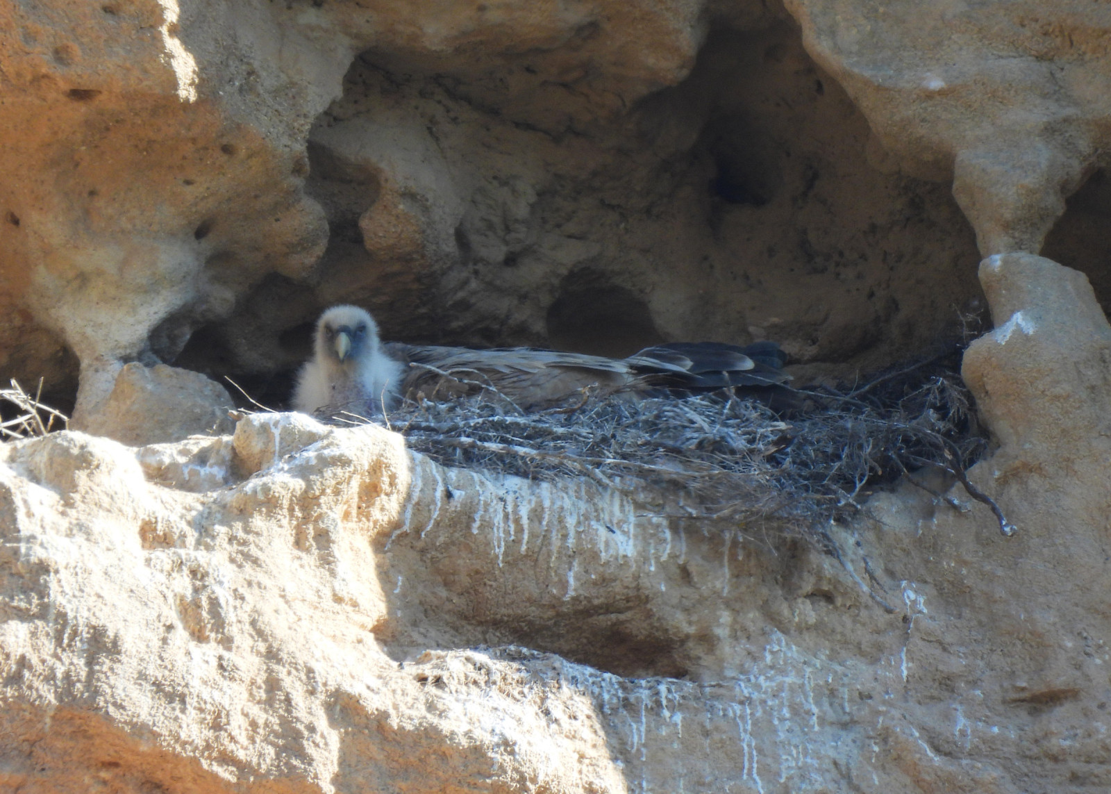
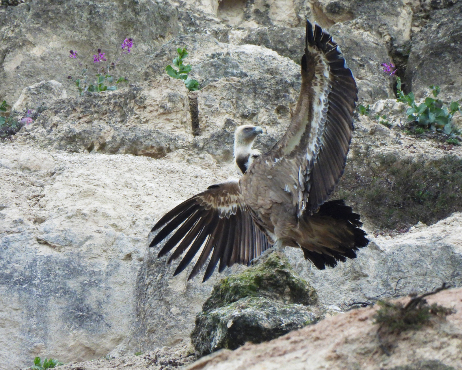
The main interest of the Pico Gurugú site is its sęp płowy colony, with a dozen pairs nesting on the cliff itself and several more on nearby cliffs. Other interesting species also nest here, such as puchacz, modrak, wronczyk, pustułka (zwyczajna) or jaskólka skalna.
On the scrubby slopes and in the scattered trees, you can find głuszek, dzierlatka iberyjska, pokrzewka kasztanowata or dzierzba rudogłowa, among others. Common forest birds such as the Iberian dzięcioł zielony, dzięcioł duży, bogatka (zwyczajna) and raniuszek zwyczajny can be seen in the riparian vegetation of the Duero. The surrounding farmland is home to typical agricultural species such as makolągwa, szczygieł, potrzeszcz and dzierlatka (zwyczajna).
_________________________
Español: El principal interés del sitio es su colonia de sęp płowy, con una decena de parejas nidificantes en el propio cortado y otras tantas en cortados próximos. En el lugar también nidifican otras especies interesantes como puchacz, modrak, wronczyk, pustułka (zwyczajna) o jaskólka skalna.
En las laderas cubiertas de matorral y arbolado disperso se encuentran głuszek, dzierlatka iberyjska, pokrzewka kasztanowata o dzierzba rudogłowa entre otros. En la vegetación de ribera del Duero se observan aves forestales comunes como pito ibérico, dzięcioł duży, bogatka (zwyczajna) o raniuszek zwyczajny. Los campos de cultivo del entorno acogen a las típicas especies de medios agrícolas como makolągwa, szczygieł, potrzeszcz o dzierlatka (zwyczajna).
Szczegóły
Dostęp
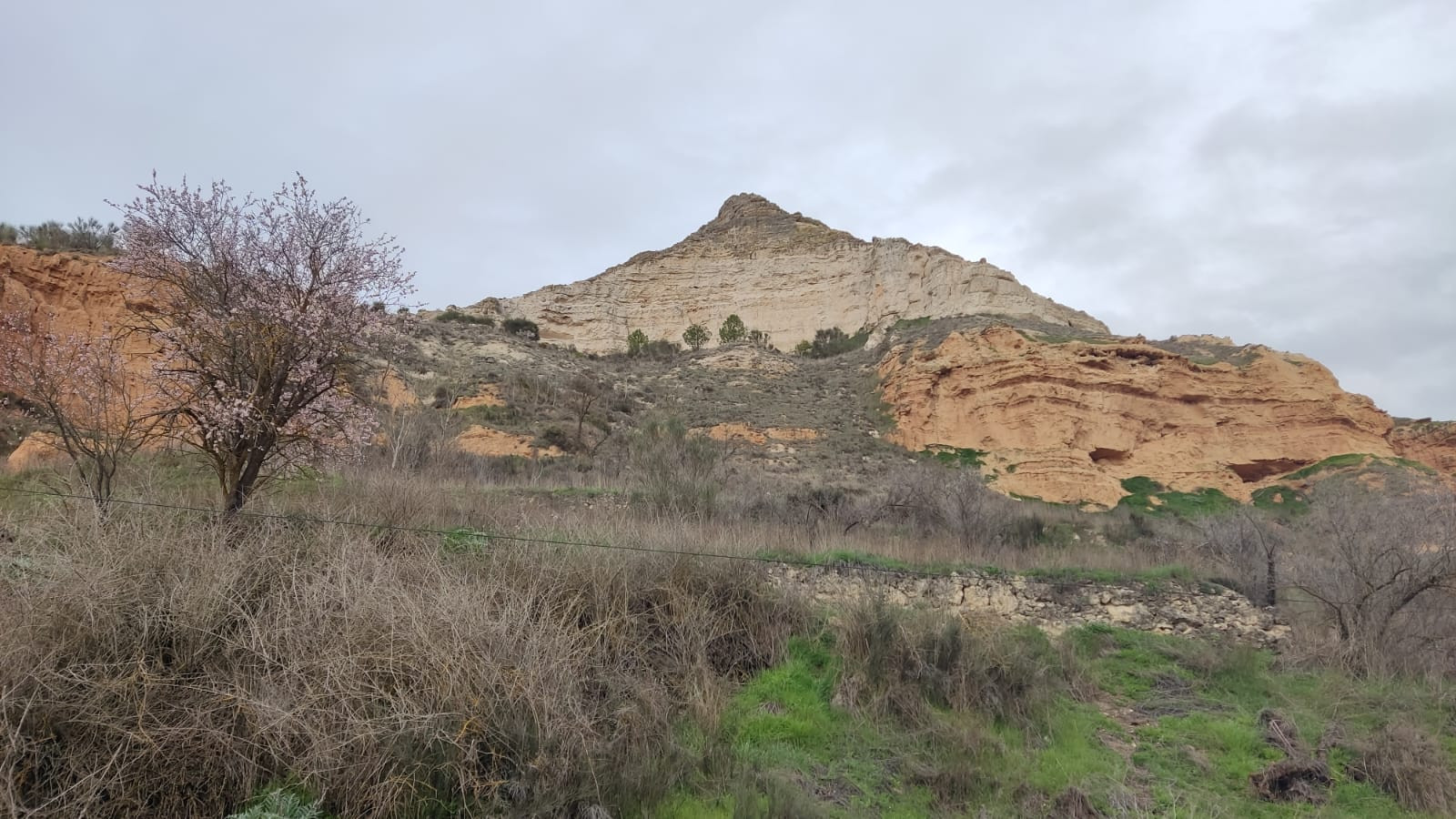
Pico Gurugú is located northeast of the town of Peñafiel. Easy access via the VP-3017 from Peñafiel to the village of Bocos de Duero. At the end of the village, Pico Gurugú is signposted. Parking is available at the foot of the cliff, next to the cemetery. Press P on the map for directions.
_________________________
Español: Acceso sencillo por la VP-3017 de Peñafiel a Bocos de Duero, al final del pueblo está señalizado el pico Gurugú. Se puede aparcar al pie del mismo cortado junto al cementerio. Presione P en el mapa para obtener instrucciones sobre cómo llegar al estacionamiento.
Teren i siedlisko
Kanion/klif , Równina , Rzeka , Rzadkie drzewa i krzewyWarunki
Płaski , Otwarty krajobraz , SkalistyTrasa dookoła
NieCzy luneta będzie przydatna ?
Może być przydatnaUdany sezon obserwacyjny
Przez cały rokNajlepszy czas na wizytę
WiosnaTrasa
Droga utwardzona , Droga nieutwardzonaPoziom trudności szlaku pieszego
ŁatwyDostępne
Pieszo , Samochód , RowerCzatownia/platforma obserwacyjna
NieDodatkowe informacje
There is a marked path that leads up to the top of the cliff, offering views of the Duero Valley, the Cuco Valley, and the Peñafiel and Curiel castles. From the cemetery, you can follow a trail to Peña Ahumada.
_________________________
Español: Existe una senda señalizada por la que se puede subir andando a la parte alta del cortado desde donde disfrutar de la vista del Valle del Duero, el Valle del Cuco o los castillos de Peñafiel y de Curiel. Desde el cementerio se puede seguir a pie una pista hasta Peña Ahumada.


 ) aby wstawić nazwy ptaków w swoim języku ojczystym. Nazwy ptaków zostaną automatycznie przetłumaczone dla innych użytkowników!