
Opis
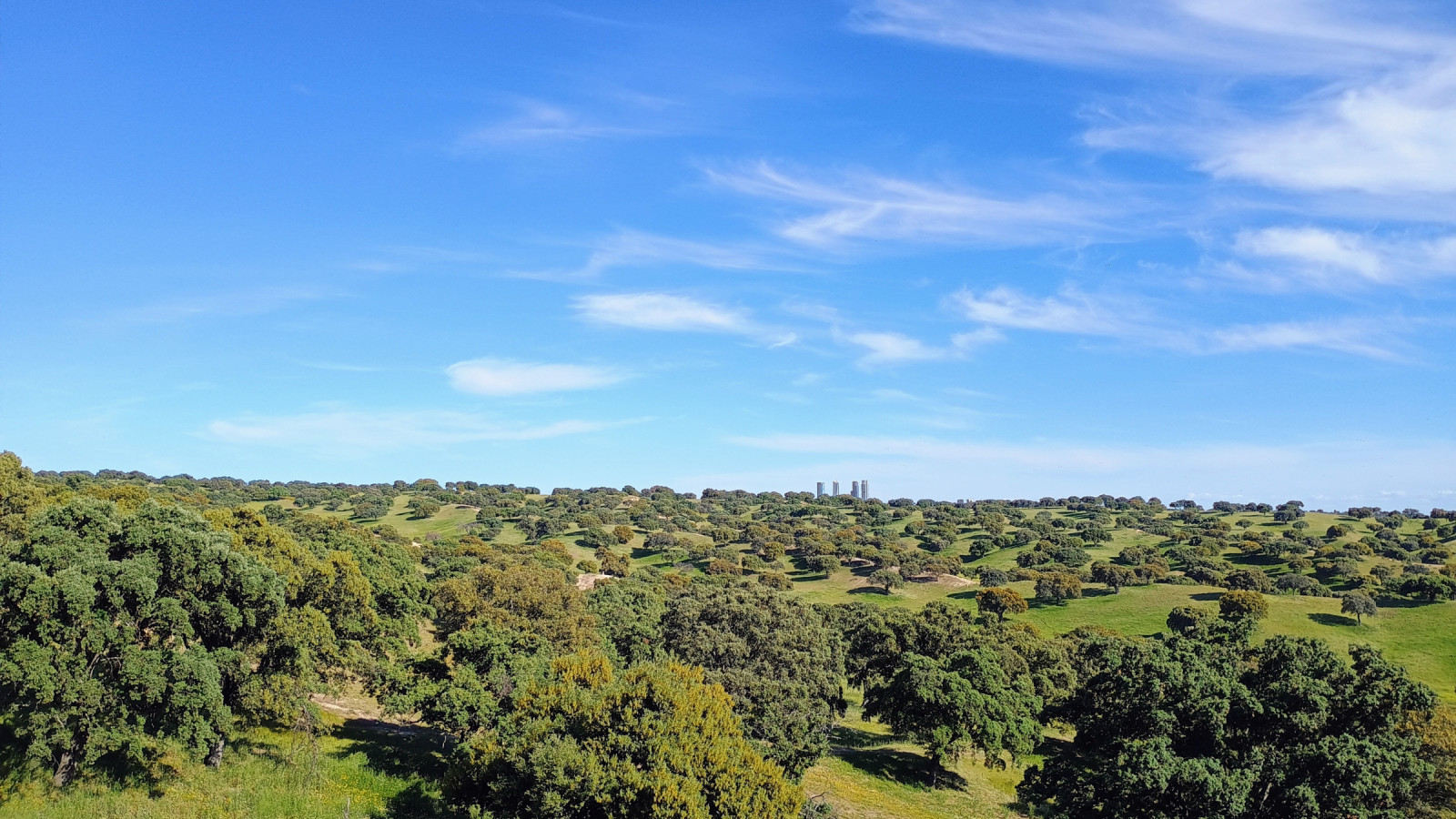
The Cerro de la Marmota is located in the municipality of Colmenar Viejo at the foot of the Sierra de Guadarrama. A great viewpoint on an altitude of 791m from where you can observe the surrounding scenic landscape and many birds flying by, or perched on the banks of the Pardo reservoir. Look out for orzel iberyjski which nests in the tops of the holm oaks of the neighboring Monte del Pardo. Also sęp płowy and sęp kasztanowaty can often be observed. On the banks of the Pardo reservoir in winter you can often see żuraw and around september it is also common to observe a few bocian czarny on the banks.
During the walk to Cerro de la Marmota a wide variety of other birds can be observed. For example góropatwa czerwona, turkawka, kukułka czubata, lelek rdzawoszyi, gadożer, kania ruda, puchacz, dudek, żołna, sójka iberyjska and dzierzba rudogłowa.
_________________________
Espagnol: El Cerro de la Marmota está situado en el municipio de Colmenar Viejo al pie de la Sierra de Guadarrama. Un gran mirador a 791m de altitud desde donde se puede observar el paisaje paisajístico del entorno y numerosas aves volando o posadas en las orillas del embalse de Pardo.
Szczegóły
Dostęp
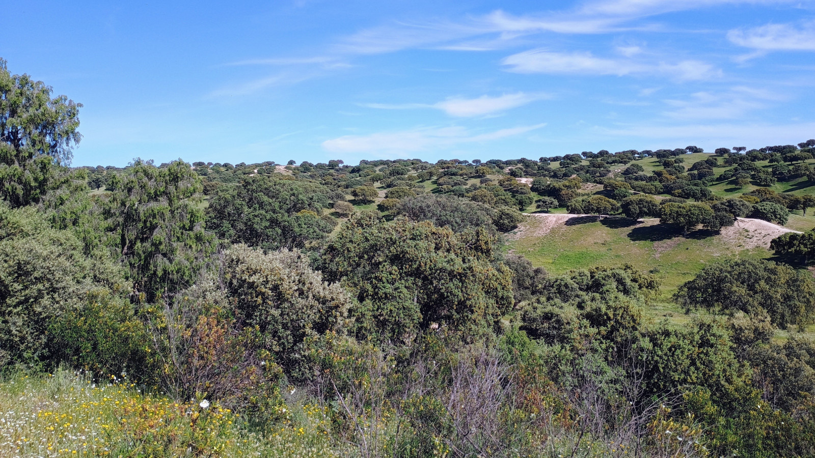
Cerro de la Marmota is located at the foot of the Sierra de Guadarrama. From the town of Colmenar Viejo you can make a 10 km circular walk. Click on the P in the map for directions to a parking spot on the southern outskirts of Colmenar Viejo.
_________________________
Espagnol: El Cerro de la Marmota está situado al pie de la Sierra de Guadarrama. Desde el pueblo de Colmenar Viejo se puede realizar un paseo circular de 10 km. Haga clic en la P en el mapa para obtener indicaciones para llegar a un lugar de estacionamiento en las afueras del sur de Colmenar Viejo.


 ) aby wstawić nazwy ptaków w swoim języku ojczystym. Nazwy ptaków zostaną automatycznie przetłumaczone dla innych użytkowników!