Opis
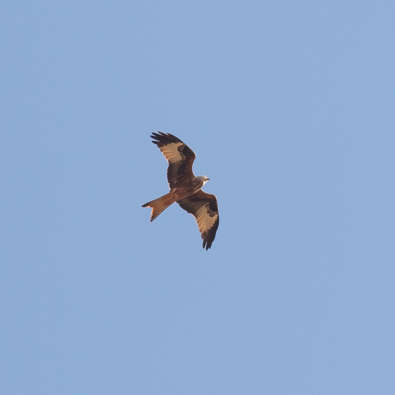
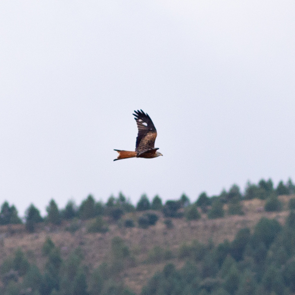
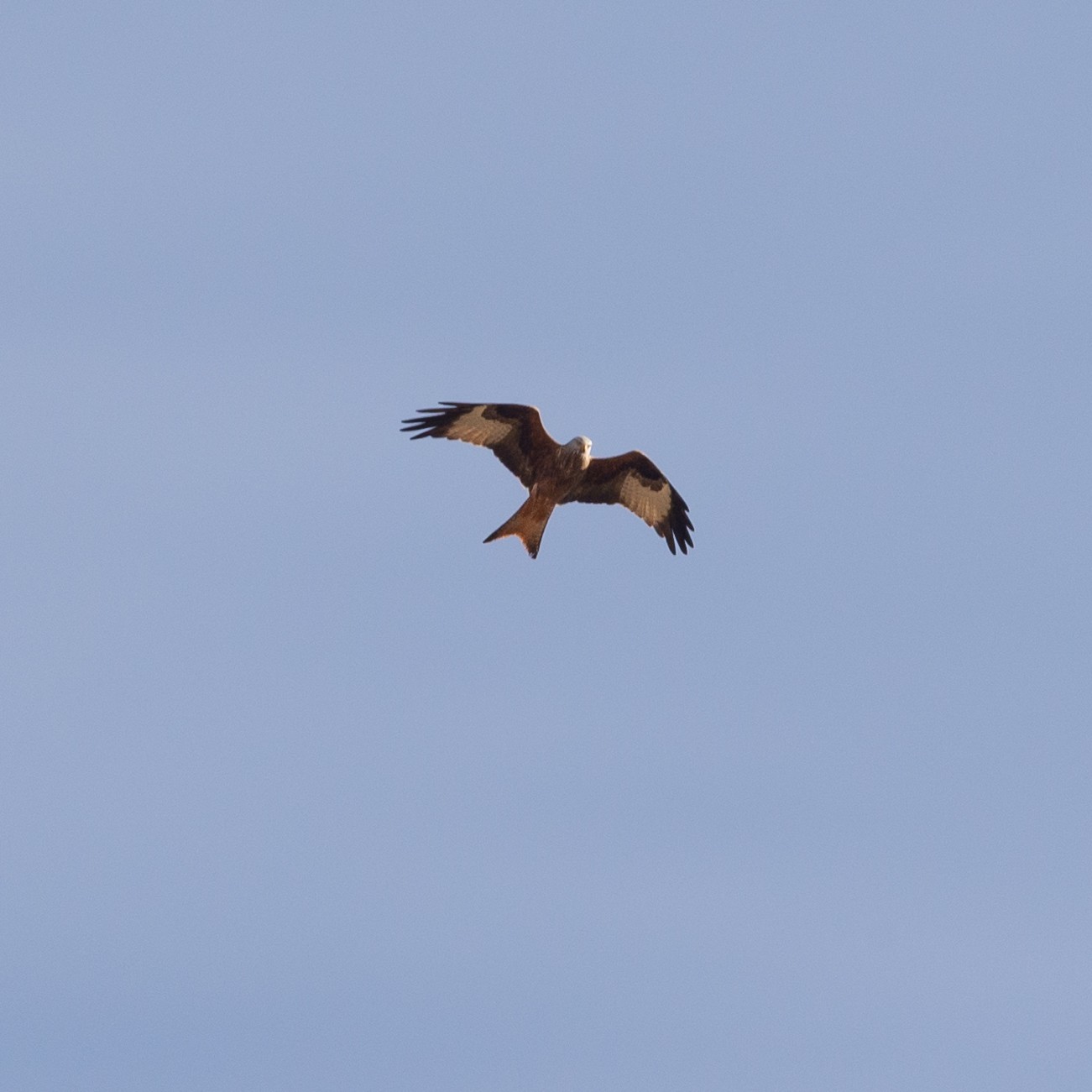
The farmlands between the national highway and the small foothills a few hundred meters further south are a common hunting area for various species of raptors. The pustułeczka and pustułka (zwyczajna) are frequent, both fixed in the air as is their custom, and perched on telephone poles. But the most spectacular is the large amount of kania ruda that pass through here, a species in dangerous decline. They are often seen alone or in groups of up to 5 individuals, often flying very low.
_________________________
Espagnol: Un cazadero habitual de pustułeczkao pustułka (zwyczajna)y, sobre todo, del amenazado kania ruda. Se suelen ver incluso en grupos de 3 o 4. Los campos de cultivo entre la carretera nacional y las pequeñas estribaciones unos cientos de metros más al sur constituyen un área de caza habitual de varias especies de rapaces. Es frecuente el pustułeczkao pustułka (zwyczajna), tanto fijos en el aire como es su costumbre, como posados sobre los postes telefónicos. Pero lo más espectacular es la gran cantidad de kania rudaque pasa por aquí, una especie en peligroso declive. Se los suele ver solos o en grupos de hasta 5 individuos, volando a menudo muy bajo.
Szczegóły
Dostęp
The area can be easily reached by car from Burgos on the national highway N-120, or by leaving from Fuentes Blancas and crossing the towns of Cardeñajimeno and Castrillo del Val until reaching the area of cultivated fields. There are also roads that run parallel to the road to reach this area by bike or on foot, as well as the gravel track of the Camino de Santiago on one side of the road. Click on the P in the map to get directions. The suggested route on the Birdingplaces-map below is 3,4 km.
_________________________
Espagnol: Se puede llegar fácilmente en coche desde Burgos por la carretera nacional N-120, o bien saliendo por Fuentes Blancas y atravesando los pueblos de Cardeñajimeno y Castrillo del Val hasta llegar a la zona de campos de cultivo. También hay caminos de concentración que discurren paralelos a la carretera para llegar hasta esta zona en bicicleta o andando, así como la pista de grava del Camino de Santiago en una de las márgenes de la carretera. Haga clic en la P en el mapa para obtener direcciones. La ruta sugerida en el mapa de Birdingplaces a continuación es de 3,4 km.
Teren i siedlisko
Rolnictwo/uprawyWarunki
Płaski , Otwarty krajobraz , Pagórkowaty , Brak cienia , SuchyTrasa dookoła
TakCzy luneta będzie przydatna ?
Może być przydatnaUdany sezon obserwacyjny
Przez cały rokNajlepszy czas na wizytę
Zima , Lato , Jesień , Wiosna , Jesienne migracje , Wiosenne migracjeTrasa
Droga nieutwardzonaPoziom trudności szlaku pieszego
ŁatwyDostępne
Pieszo , Rower , SamochódCzatownia/platforma obserwacyjna
NieLinki
- Observaciones de milanos reales añadidas en iNaturalist
- Observación de un cernícalo añadida en iNaturalist


 ) aby wstawić nazwy ptaków w swoim języku ojczystym. Nazwy ptaków zostaną automatycznie przetłumaczone dla innych użytkowników!