Opis
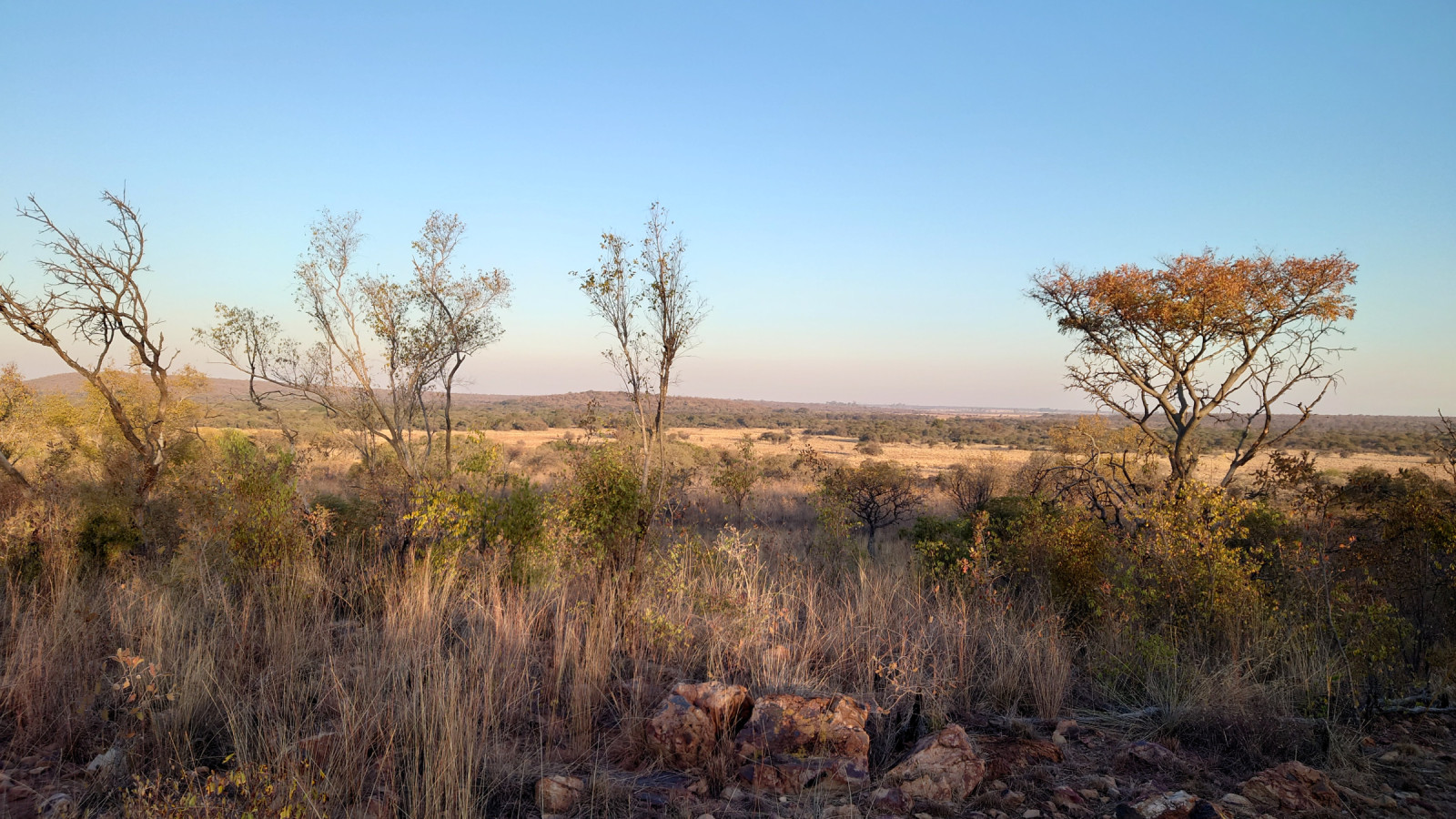
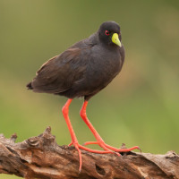
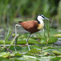
Nylsvley Nature Reserve is a 4000 hectare protected area, located on and beside the seasonally-inundated floodplain of the Nyl River. The reserve has a mosaic of habitats, including woodlands, grassveld floodplains and reedbeds. During good rainy seasons the floodplain becomes a hive of activity, with the best estimate for water bird numbers being approximately 80,000. The system also plays an important role for frogs and fish, which gather in large numbers to breed when the floodplain becomes flooded.
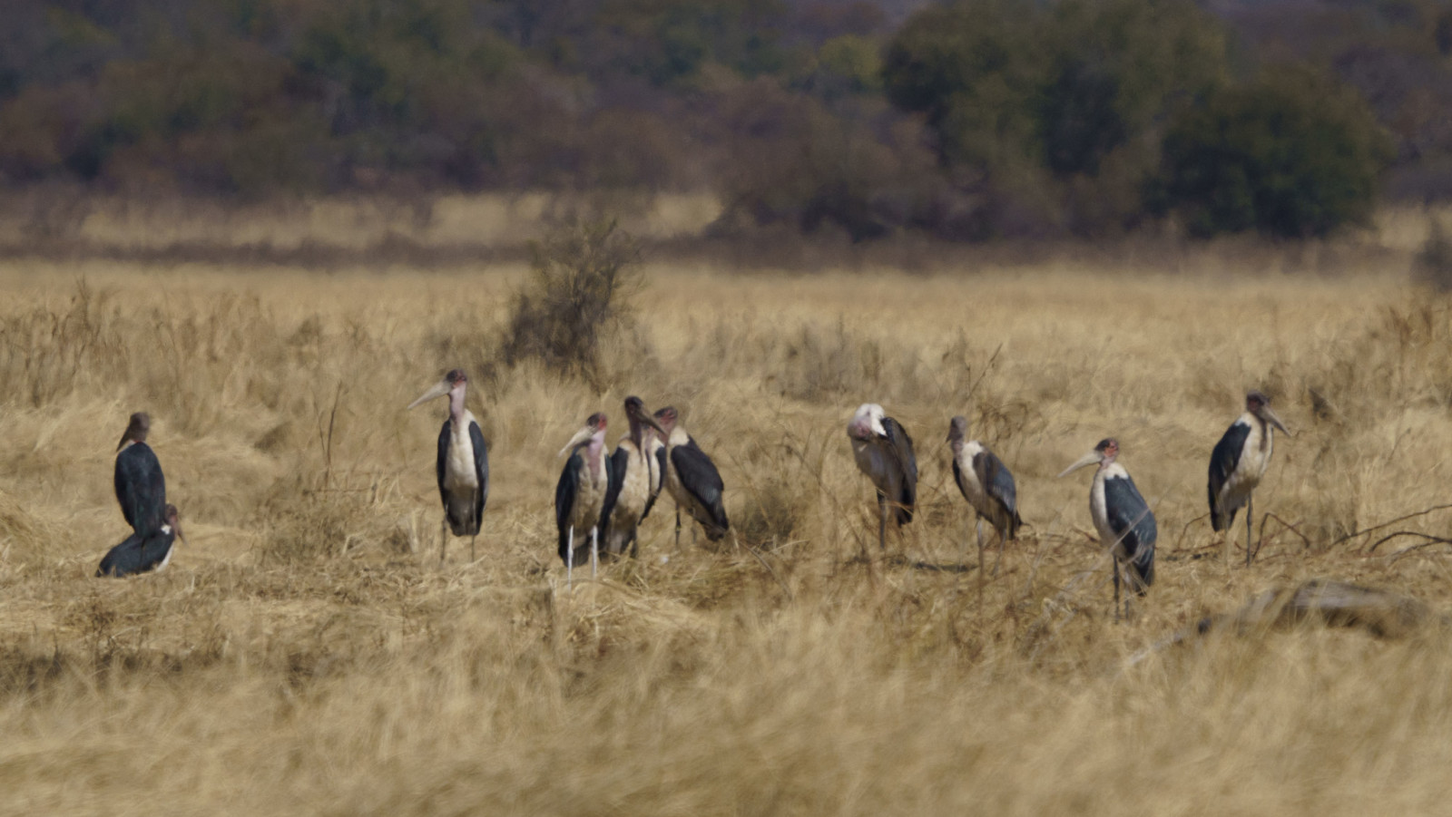
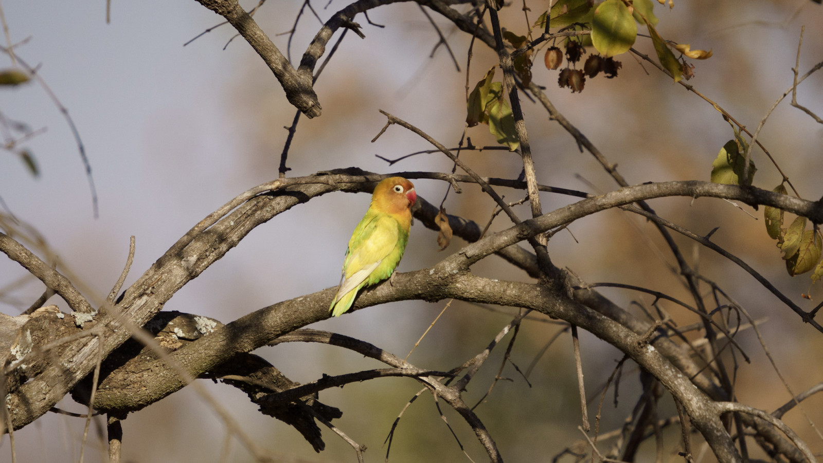
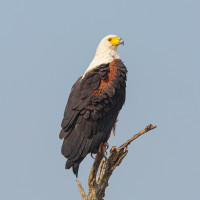
Of the 102 waterfowl species recorded on the floodplain, 58 are known to breed in the wetland, more than on any other South African wetland. 23 of the waterfowl species are Red Data listed and 8 of these are known to breed here. The number of bird species recorded on the entire floodplain is 412, almost half the total number of bird species in South Africa.
Nylsvley Nature Reserve is regarded as one of the premier bird-watching localities in the country. Most of the thousands of visitors who visit the reserve each year are birdwatchers. Nylsvley Nature Reserve was designated a Ramsar site in July 1998.
Szczegóły
Dostęp
The Nylsvley Nature Reserve is situated in the upper reaches of the Nyl River near the town of Mookgophong (Naboomspruit) in Limpopo, and includes part of the largest floodplain vlei in South Africa. The area can be reached via the N1 motorway and turn off at Kranskop Toll Plaza. Via the R33, drive towards Modimolle. Then follow the brown signposts indicating Nylsvley.
In the area, you can both hike and drive a car. If you drive by car, you should stick to driving directions as single roads are not possible for double traffic. The route indicated on the map is the road that is only accessible by car. At the entrance gate to the area, you will be given a plan of where you may walk as a hiker. The viewing hides Dabchike and Crake are accessible via the road to Vogelfontein. There you need to open the gate using the key code, given by the reception.
Please note, the area has only one restaurant, The Spoonbill, which is currently inaccessible due to renovation works. There is talk that it will not reopen until 2025. So be sure to bring your own food.
Teren i siedlisko
Tereny podmokłe , Rzadkie drzewa i krzewy , Łąka , Równina , Rzeka , TrzcinowiskaWarunki
Płaski , Suchy , Bagienny , Skalisty , Otwarty krajobraz , Pylisty , Możliwy wysoki poziom wodyTrasa dookoła
TakCzy luneta będzie przydatna ?
Może być przydatnaUdany sezon obserwacyjny
Przez cały rokNajlepszy czas na wizytę
Zima , LatoTrasa
Droga nieutwardzonaPoziom trudności szlaku pieszego
ŁatwyDostępne
Pieszo , SamochódCzatownia/platforma obserwacyjna
TakDodatkowe informacje
It is possible to stay in the area. This is convenient if you wish to spend a few days here. The options are to either camp (tent, caravan or mobile home) or you can rent a chalet through Nylsvley Nature Reserve. More info can be found via the "Friends Of Nylsvley" link below.
Beware, the local summer (Dec-Feb) can be very wet here, making some areas inaccessible due to high water levels. During the local winter (Jun-Aug), it can be very dry here, but still a small amount of water remains at the viewing hides.
The pictures included follows the entrance, map, species seen on the site, picture of the chalet Ducks Den and the surroundings. All pictures were taken in June (local winter time).
Please note that the chalets are provided with a fan that produce heat and cooling, but there are several power strikes (load shedding) on the site.
Linki
- Friends of Nylsvley
- Birdlife South Africa - Nyl River Floodplain
- Bird List - Nylsvley Nature Reserve - eBird
.JPG)

 ) aby wstawić nazwy ptaków w swoim języku ojczystym. Nazwy ptaków zostaną automatycznie przetłumaczone dla innych użytkowników!