Opis
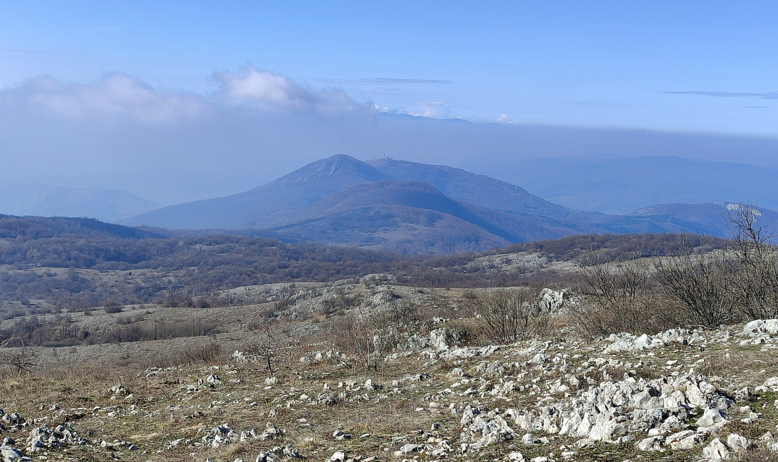
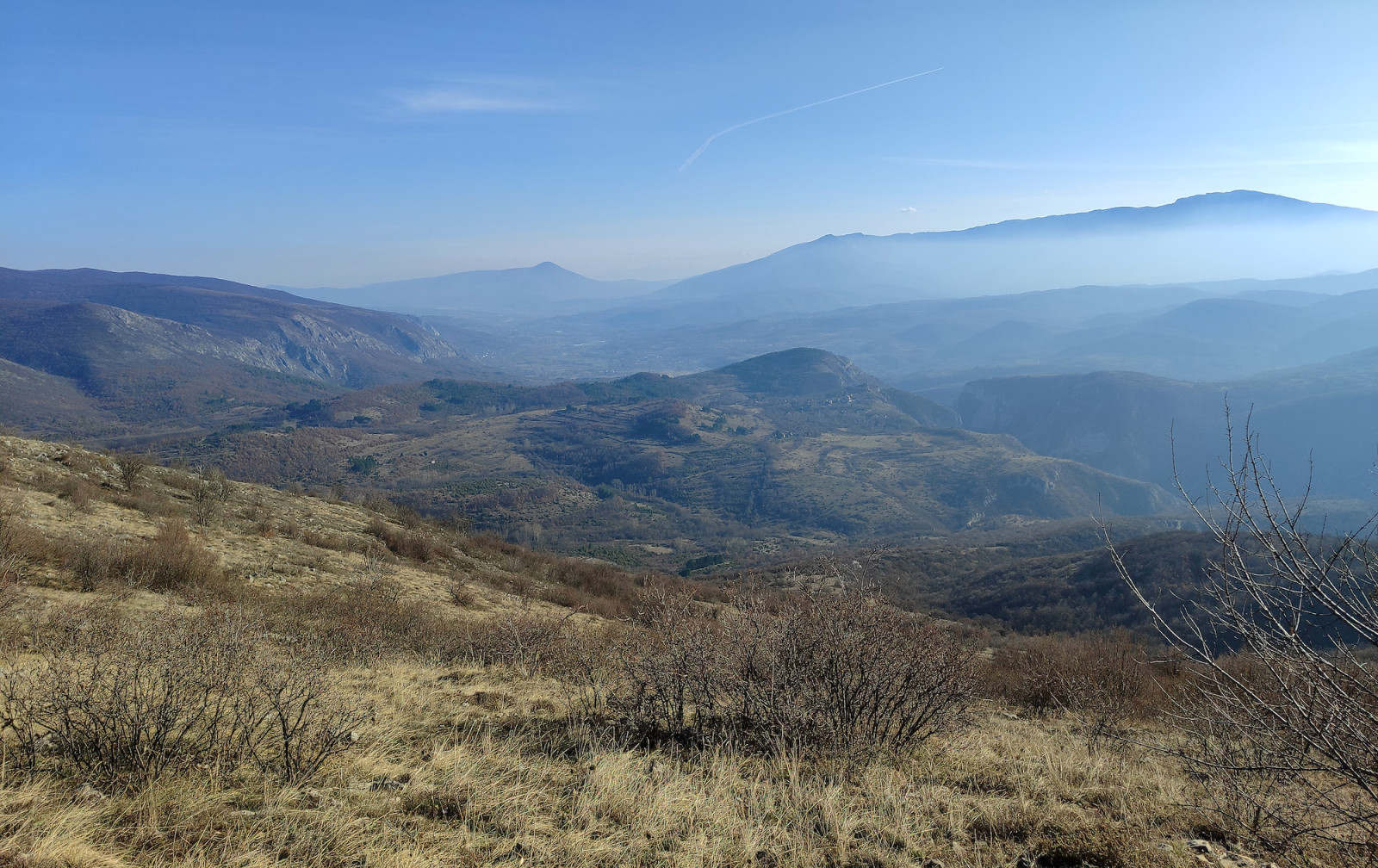
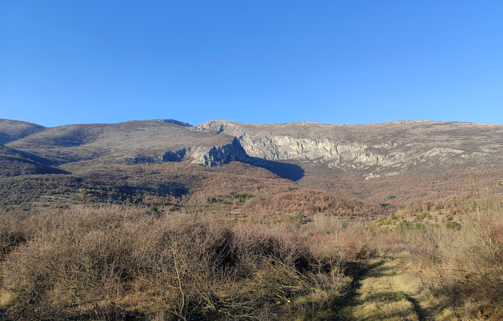
The Nišava River has cut a deep 17 km-long gorge with steep rocky cliffs. The surrounding mountains have mostly half-rocky, half-grassy slopes with sometimes small patches of forest.
The most famous bird of Sićevo Gorge is góropatwa skalna. It inhabits mostly mid to high slopes of the surrounding mountains, together with kuropatwa. The wieszczek breeds beneath the Pleš peak, but in winter the birds gather in flocks that roam lower through the gorge. Other characteristic birds of Sićevo Gorge are głuszek, sikora żałobna, jerzyk alpejski, and puchacz, while pluszcz and pliszka górska can be found at the banks of the Nišava River. Sometimes, górniczek can be found in winter near mountain peaks above 1000m.
Szczegóły
Dostęp
The Sićevo Gorge Nature Park is relatively large, with the regional road from Niš to Bela Palanka passing through.
The map of this birding place covers the mountain trail to Pleš Peak (1267m), the highest peak of the Nature Park. There are two main starting points of the trail, from Gradište village and from the regional road passing through the gorge. Note that Gradište village, like many other villages in south Serbia, is almost fully depopulated and that the local road leading to it is very narrow and not in the best condition, although perfectly passable with a careful drive. The starting point from the regional road is Ćirin Prolaz (Ćira's Passage), a small passage between the rocks at the very bottom of the gorge. Total altitude gain is about 850m if starting from Gradište or about 1000m if starting from Ćirin Prolaz, while some sections are up to 35% steep gradient. It is possible to park near both starting points, click one of the 'P' markings for directions. The trail is very well marked, but pay attention to the point (43.334196, 22.168215) where the narrow path departs right from the Via Militaris road.
The old Roman road Via Militaris connecting Naissus (modern Niš) with Serdica (modern Sofia) passes above the northern cliffs of the Sićevo Gorge. The road route is not very well preserved in some sections, so it is better to stick with the marked trails.
Teren i siedlisko
Góry , Kanion/klif , Rzadkie drzewa i krzewy , Rzeka , LasWarunki
Górzysty , Skalisty , Otwarty krajobrazTrasa dookoła
NieCzy luneta będzie przydatna ?
NieUdany sezon obserwacyjny
Zima , WiosnaNajlepszy czas na wizytę
Zima , WiosnaTrasa
Wąski szlak , Szeroka ścieżkaPoziom trudności szlaku pieszego
ForsownyDostępne
PieszoCzatownia/platforma obserwacyjna
NieDodatkowe informacje
If you visit the area on sunny days beware of poisonous snakes (Horned Viper and European Adder) hiding in the high grass or beneth the stones. Look where you step in and avoid assisting the climb by touching stones with your hands. Do not sit or stand on stones under which something can hide.
Linki
- 'Sićevačka klisura Nature Park--Pleš' eBird hotspot
- 'Sićevačka klisura Nature Park--Oblik' eBird hotspot
- 'Sićevačka klisura Nature Park--brda' eBird hotspot
- 'Sićevačka klisura Nature Park--near Šutevac' eBird hotspot
- 'Sićevačka klisura Nature Park--Kusača' eBird hotspot
- eBird barchart of all hotspots
- Gradište - Pleš Komoot route
- IBA Sicevo Gorge


 ) aby wstawić nazwy ptaków w swoim języku ojczystym. Nazwy ptaków zostaną automatycznie przetłumaczone dla innych użytkowników!