Opis
Nadel is a system of channels and a river in the south Banat region of the Serbian province of Vojvodina. It starts from Botoš dam, finding its way south to the Pančevo town, passing villages like Uzdin, Kovačica, Debeljača, and Crepaja, from where it heads further south touching Starčevo, Omoljica, and Ivanovo, where it finally finds the Danube.
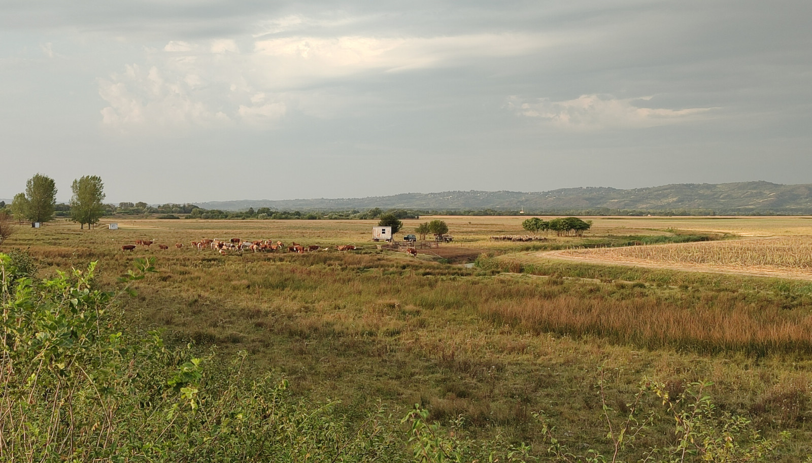
Especially interesting is the section between Starčevo and Omoljica, where Nadel starts to be wider and more attractive to waterfowl. Unique to this section is that while walking along the embankment there is a wide channel with waterfowl and shorebirds at the eastern side contrasted with the open agricultural landscape spreading at the western side where approaching birds of prey are easily spotted. błotniak stawowy, błotniak zbożowy, pustułka (zwyczajna), krogulec, myszołów and bielik are common while also recorded are Trzmielojad, gadożer, kania czarna, błotniak stepowy and krogulec krótkonogi.
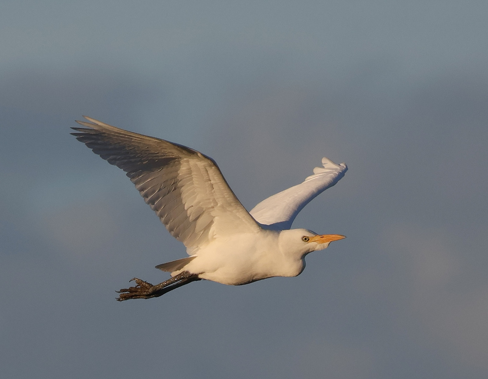
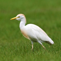
From waterfowl, regular are krzyżówka, cyraneczka, podgorzałka, cyranka, krakwa, łyska, kokoszka (zwyczajna), and perkozek. All Serbian herons are also regular, while unique to this location is the common presence of the locally rare czapla złotawa due to a lot of livestock on the meadows at the western side of the embankment.
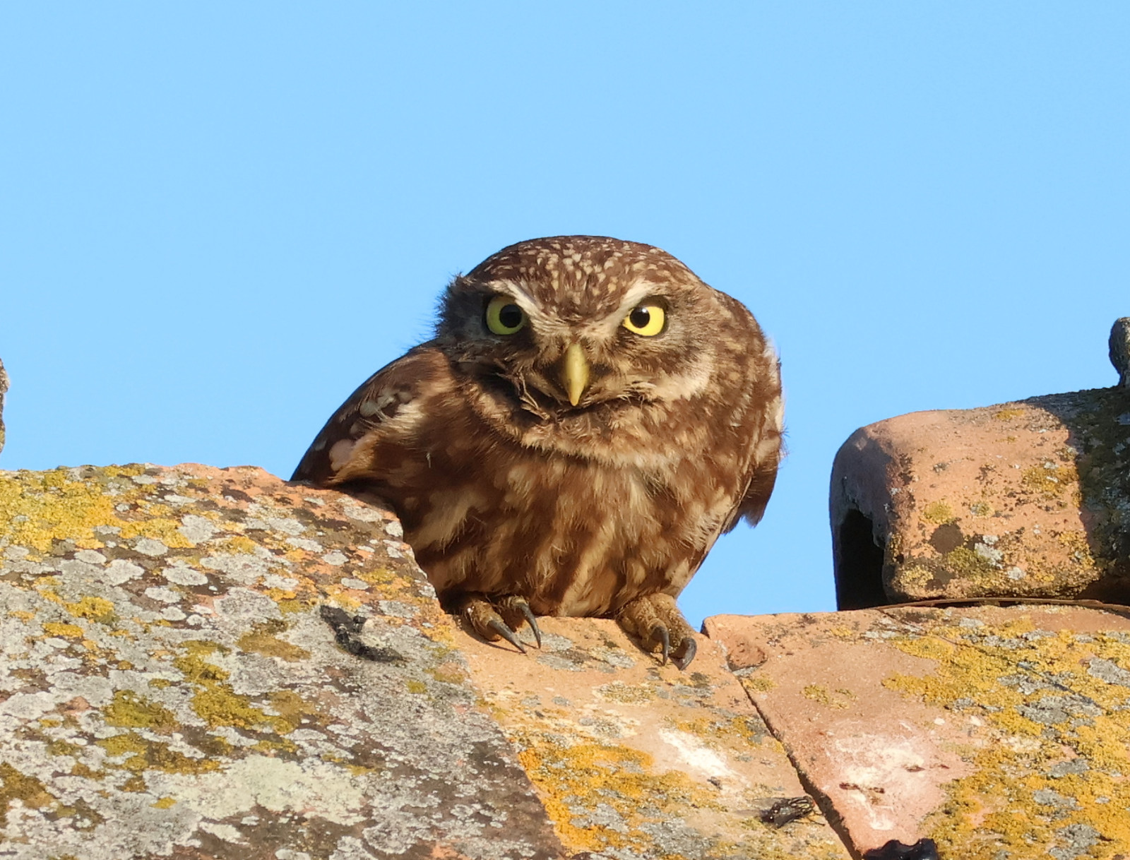
pójdźka finds its home in some of the abandoned houses scattered along the embankment side. Patches of forest are also present, where kwiczoł, szczygieł and sometimes makolągwa and gil can be spotted.
Szczegóły
Dostęp
The embankment at the western side of the Nadel channel can be accessed from Starčevo and Omoljica, please follow P markings on the map below. Although the parking place nearest to Pančevo and Belgrade at the end of the road through Starčevo village is looking like the most suitable to start a walking tour, it is probably better to head to the second parking place further south and head north over the embankment, leaving the sun behind your back.
While driving over the embankment is not officially prohibited and there are no ramps, the wide path over the embankment is not suited for ordinary cars.
Teren i siedlisko
Łąka , Rolnictwo/uprawy , RzekaWarunki
Płaski , Otwarty krajobraz , Brak cieniaTrasa dookoła
NieCzy luneta będzie przydatna ?
Może być przydatnaUdany sezon obserwacyjny
Wiosna , Jesień , LatoNajlepszy czas na wizytę
Wiosna , Wiosenne migracje , Jesień , Jesienne migracje , LatoTrasa
Szeroka ścieżkaPoziom trudności szlaku pieszego
Średnio wymagający spacerDostępne
Rower , PieszoCzatownia/platforma obserwacyjna
NieLinki
- 'Omoljica--Nadel, kanal' eBird hotspot
- 'Starčevo--Nadel, kanal' eBird hotspot
- eBird barchart of both hotspots


 ) aby wstawić nazwy ptaków w swoim języku ojczystym. Nazwy ptaków zostaną automatycznie przetłumaczone dla innych użytkowników!