Opis
Kurjačka Greda ("Wolf's Beam") is located in the western part of the Koviljski Rit nature reserve on the Danube riverbank, only 7 km from Novi Sad city center. Although very near to the city, when you come here, the feeling is that you are lost in the wetland, far away from civilization.
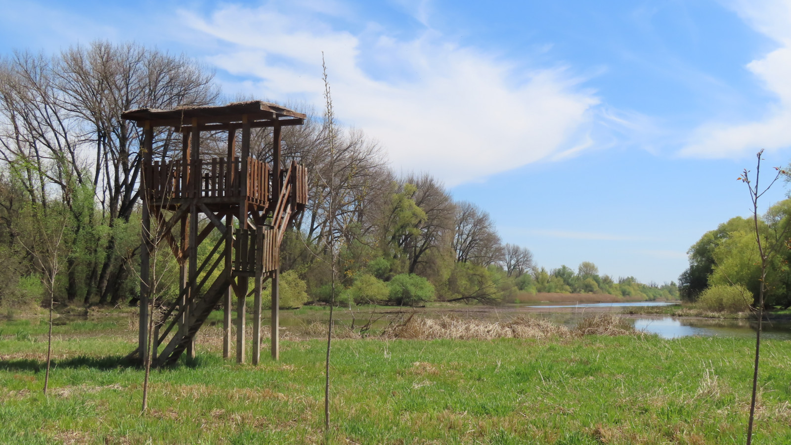
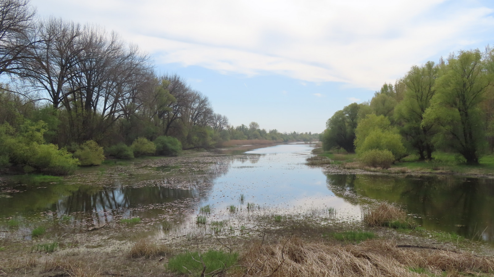
The scenic trail "Ritska Staza" ("Wetland Route") winds through meadows and reeds around several ponds with birdwatching towers and birding covers placed at strategic locations. Then it makes a full circle along the Danube river bank, with the sandy island "Koh Chang" sitting between the riverbank and Petrovaradinski Rit (Petrovaradin Wetland) across the Danube.
On this route through varying mosaic habitats, many wetland birds can be seen, like czapla biała, czapla nadobna, podgorzałka, and cyranka, but also the birds of forest habitats, like bocian czarny and dzięcioł czarny.
As this location is relatively rarely visited, do not be surprised if a pair of bieliks starts checking who is intruding on their territory.
If the time of the year is right and you are lucky, błotniak łąkowy will be circling above one of the many meadows.
Szczegóły
Dostęp
Reaching Kurjačka Greda can be tricky, but that has some advantages: the area is very well preserved, and you are likely to be the only one on the route.
Head to the Šangaj (Shanghai) suburbs of Novi Sad, passing by Novi Sad refinery along the way. After leaving the Šangaj suburbs, make sure to turn right on the first crossroad towards the Danube river embankment (this turn is easily overlooked).
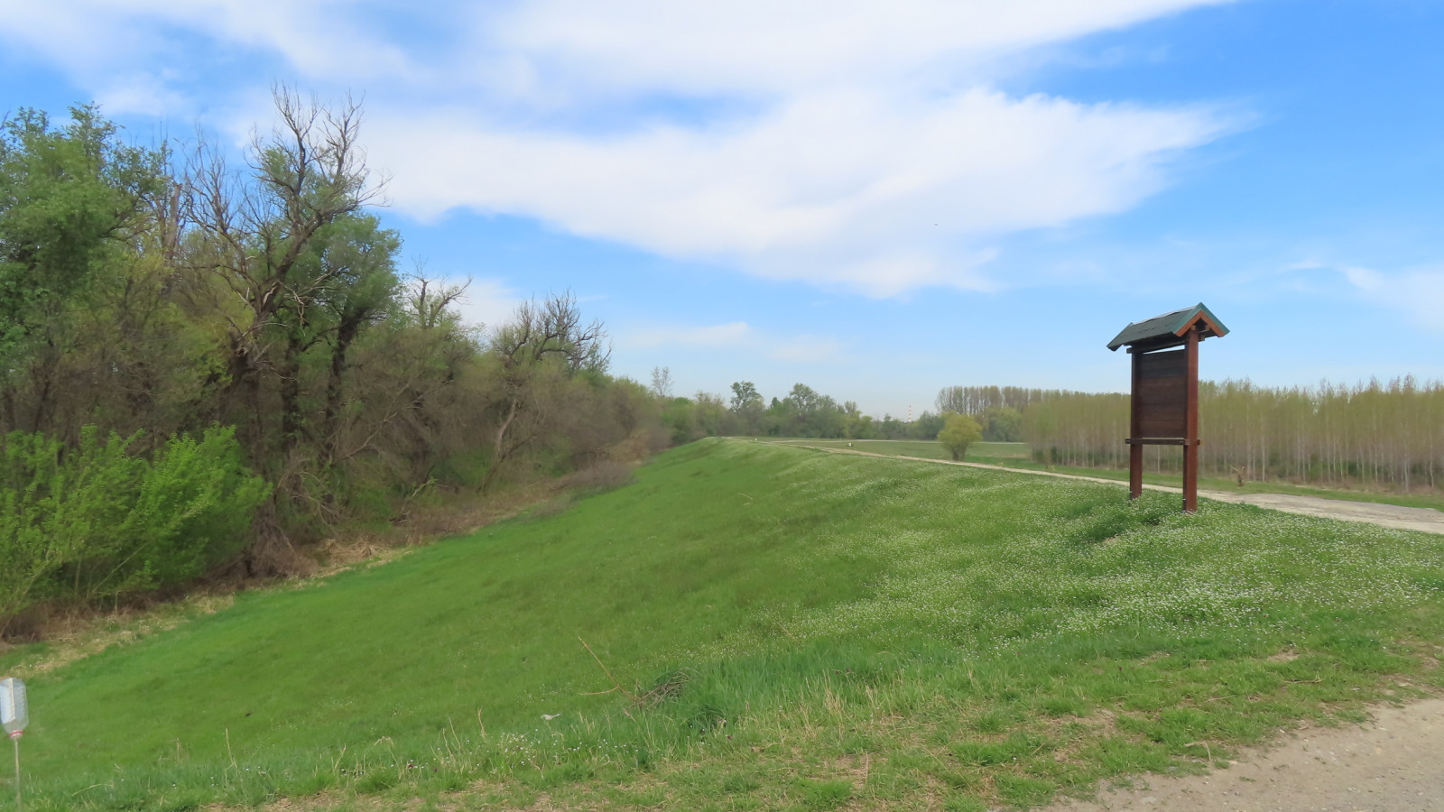
When at the embankment, turn left and continue downstream. Halfway through this embankment road to Kurjačka Greda, you can see a breeding colony of czapla siwa on the right-hand side. After 5.8 km, of which the last 2.7 km is an unpaved road, you reach the Kurjačka Greda entrance (on the photo bellow), where the circular trail begins.
Teren i siedlisko
Las , Tereny podmokłe , Łąka , RzekaWarunki
PłaskiTrasa dookoła
TakCzy luneta będzie przydatna ?
Może być przydatnaUdany sezon obserwacyjny
Wiosna , Lato , JesieńNajlepszy czas na wizytę
WiosnaTrasa
Szeroka ścieżka , Droga nieutwardzonaPoziom trudności szlaku pieszego
Średnio wymagający spacerDostępne
Pieszo , RowerCzatownia/platforma obserwacyjna
TakLinki
- 'Koviljsko-Petrovaradinski Rit SNR--Kurjačka greda' eBird hotspot
- Kurjačka Greda photo gallery
- IBA Koviljski rit
- Koviljski Rit Nature Reserve authorities


 ) aby wstawić nazwy ptaków w swoim języku ojczystym. Nazwy ptaków zostaną automatycznie przetłumaczone dla innych użytkowników!