.jpg)
Opis
Dubovacki Rit Reserve lies between the village of Dubovac and the river Danube, is about a mile long and consists of open water, reedbeds and willow and poplar riparian forest, with adjoining junipers on grassy sand dunes. Surrounding Danube shallows are a significant wintering area for waterbirds.
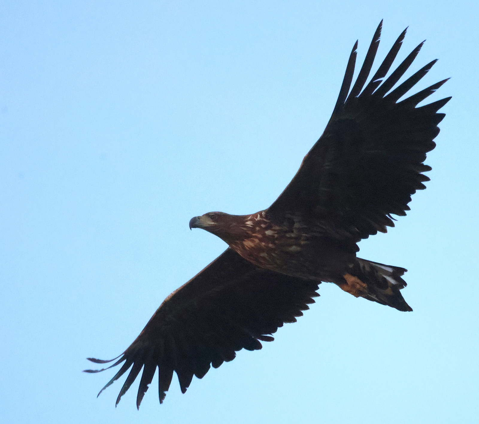
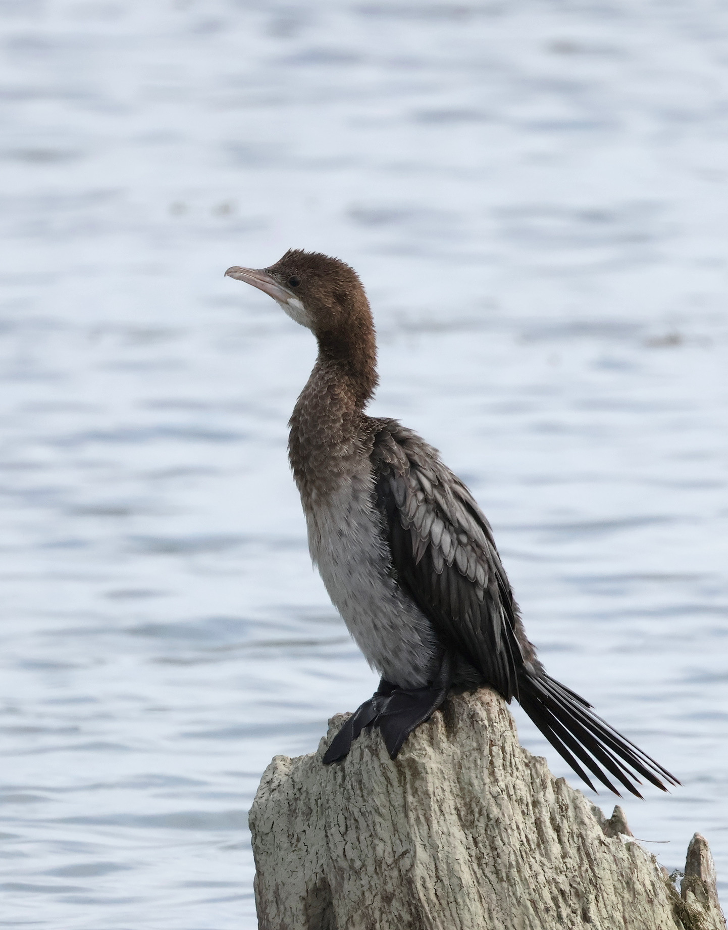
Once you reach the wetland, checking the western/upriver section is more rewarding in winter, while going east/downriver is more productive in spring. In winter you may look for orlik grubodzioby, ges zbozowa, gęś białoczelna, gęgawa, ohar, bielaczek, nurogęś, podgorzałka, nur czarnoszyi, kormoran mały, mewa białogłowa, kwiczoł, droździk, paszkot.
From March onwards for cyranka, bocian czarny, bocian biały and ślepowron. From April for czapla purpurowa, bączek, kurhannik and three marsh terns ( rybitwa czarna, rybitwa białowąsa, rybitwa białoskrzydła ). wodnik (zwyczajny) and kropiatka were also recorded here, as well as szablodziób, biegus zmienny and biegus malutki. turkawka, żołna, gąsiorek, dudek and brzegówka (about 5,000 pairs downriver from Dubovac) breed here and are conspicuous in spring.
A strong easterly wind is common in the area, which can make birding challenging.
Photos by Slobodan Puzovic, Mileta Cekovic and Dragan Simic.
Szczegóły
Dostęp
Access is from the village of Dubovac, 70 km / 80 min east of Belgrade. See the map and click on the "P" for the turn-off directions.
The western section is more disturbed by development, although the levee up the Danube is well worth checking, especially in winter. To reach the western section, turn right at the cross junction (coming from the direction of the town of Kovin, route marked on the map).
The eastern section has a more natural feeling and preserved habitats. For the eastern section, follow the second dirt track right, after the Dubovac village.
Technically, you can park wherever and explore further on foot. There's not much shade, so wear a hat and take water with you.
Teren i siedlisko
Las , Tereny podmokłe , Błota , Trzcinowiska , Rzeka , Łąka , Rzadkie drzewa i krzewyWarunki
Otwarty krajobraz , PylistyTrasa dookoła
NieCzy luneta będzie przydatna ?
Może być przydatnaUdany sezon obserwacyjny
Przez cały rokNajlepszy czas na wizytę
Zima , Wiosenne migracje , Jesienne migracjeTrasa
Droga nieutwardzonaPoziom trudności szlaku pieszego
Średnio wymagający spacerDostępne
Pieszo , SamochódCzatownia/platforma obserwacyjna
NieDodatkowe informacje
A spotting scope is necessary in winter, but not in warmer months when binoculars are sufficient.


 ) aby wstawić nazwy ptaków w swoim języku ojczystym. Nazwy ptaków zostaną automatycznie przetłumaczone dla innych użytkowników!