

Opis
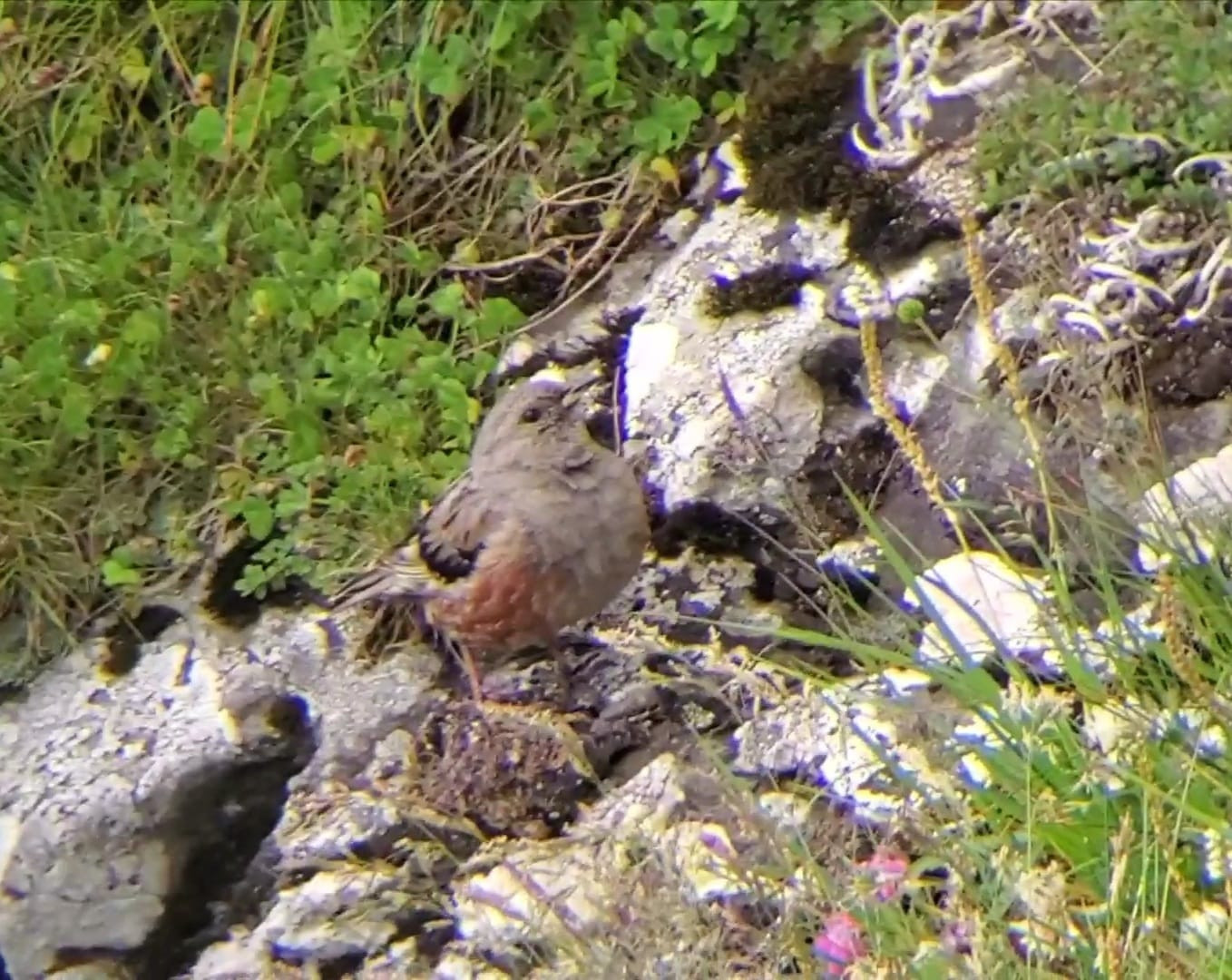
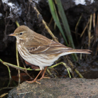
Lake Balea and Lake Capra are located above 2000 m altitude providing habitat for high altitude species like płochacz halny, pomurnik, jaskólka skalna, siwerniak, orzeł przedni and białorzytka.
Szczegóły
Dostęp
Lake Balea and Lake Capra are located in the Fagaras Mountain range. Acces by car from north coming from either Sibiu or Brasov via road E68, look for road 7C across from Alexandru's Royal Pension and Restaurant. Drive up to Balea waterfall wher you have the option to park and take the 3700 m long cable car up to Lake Balea. If not drive up to the lake where you can find private parking spots for a fee. If you drive through the approx. 850m long tunnel you will able to find free parking spots alongside the winding road but bear in mind that you have to walk back to Lake Balea through the same noisy, windy and car exhaust smelling tunnel.
If you do not shy away from a steep hike you could go to Lake Capra first by a marked trail that starts from an abbandoned hut ( 45.59149710496834, 24.62554784941143 ) or a longer but a more forgiving hike that is marked with a blue line ( 45.59032270955343, 24.632929242749075 )at the next hairpin corner than descend to Lake Balea from Lake Capra. From the south road 7C coming from Bucharesti via Pitesti-Curtea de Arges.
Teren i siedlisko
Góry , Kanion/klif , JezioroWarunki
Skalisty , Górzysty , ŚliskoTrasa dookoła
TakCzy luneta będzie przydatna ?
Może być przydatnaUdany sezon obserwacyjny
LatoNajlepszy czas na wizytę
LatoTrasa
Wąski szlak , Droga utwardzonaPoziom trudności szlaku pieszego
ForsownyDostępne
PieszoCzatownia/platforma obserwacyjna
NieDodatkowe informacje
The cable car is functional all year round but it is advisable to contact them beforehand. Be on the lookout for Marmots. They can be seen in pack just above Lake Balea and in the valley coming out of the tunnel going south. The trail linking the two lakes is slippery due to to loose rocks.


 ) aby wstawić nazwy ptaków w swoim języku ojczystym. Nazwy ptaków zostaną automatycznie przetłumaczone dla innych użytkowników!