

Opis
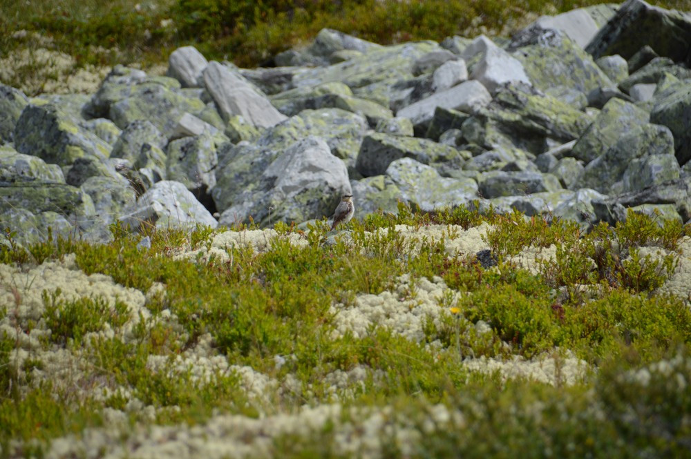
The Rondane massif rises above wide, lichen-covered mountain plateaus with nomadic wild reindeer (one of Europe's last wild reindeer populations) wolverines, and birds like orzeł przedni and kruk. Rondane National Park is characterized by the deep valley bottoms and high peaks known for its stunning mountain landscapes. With ten peaks over 2,000 meters high, including the highest peak, Rondslottet, which stands at 2,178 meters. In Rondane you have various beautiful views of the mountain peaks. There are many streams and lakes. In the streams you can find pluszcz. In the National Park you can also find pardwa górska, mornel, poświerka, żuraw, myszołów włochaty and drozd obrożny.
Szczegóły
Dostęp
Rondane National Park is located between the Gudbrandsdalen and Østerdalen valleys, stretching from Ringebu in the south to Dovre in the north. The mountain hamlet of Høvringen is located 1000 meters above sea level and the nearby lake Høvringsvatne is a good starting point to explore the area. From the main road you drive over a gravel road and you can park your car at the P. During the winter season, the Høvringen area boasts 150 km of groomed cross-country skiing trails.
There are many trails and options for hiking in Rondane National Park. The 11 km circular hike that I marked on the map is not so hard in terms of meters elevation, but it requires some stability in the knees and ankles. The trail starts at lake Høvringsvatne.


 ) aby wstawić nazwy ptaków w swoim języku ojczystym. Nazwy ptaków zostaną automatycznie przetłumaczone dla innych użytkowników!