Opis
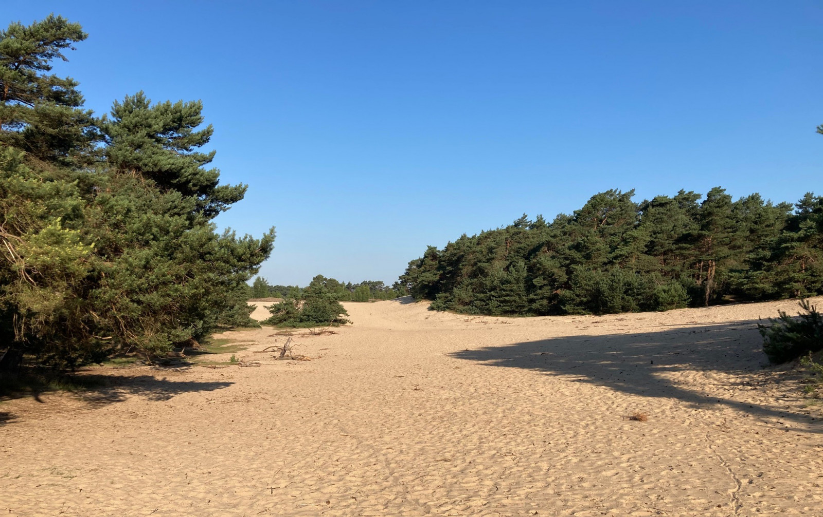
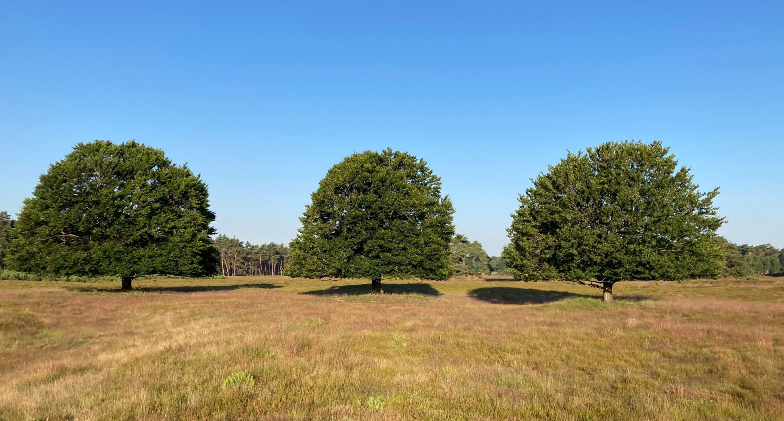
The drifting sands makes the Wekeromse Zand a special nature area. The core of the large nature area consists of an area of over 110 hectares with active drifting sands. Particularly along the edges of the sand dunes, where the sand regularly dusts the heath, the area is rich in plant and animal species. The Wekeromse Zand also has a lot of forest and heather fields. The mouflon, a wild sheep species, grazes the area. Among the birds you can encounter are lerka, kląskawka, paszkot, siniak, krogulec, jastrząb, Trzmielojad, kruk, czubatka, mysikrólik, pleszka and lelek. In winter srokosz is a regular visitor in the area.
_________________________
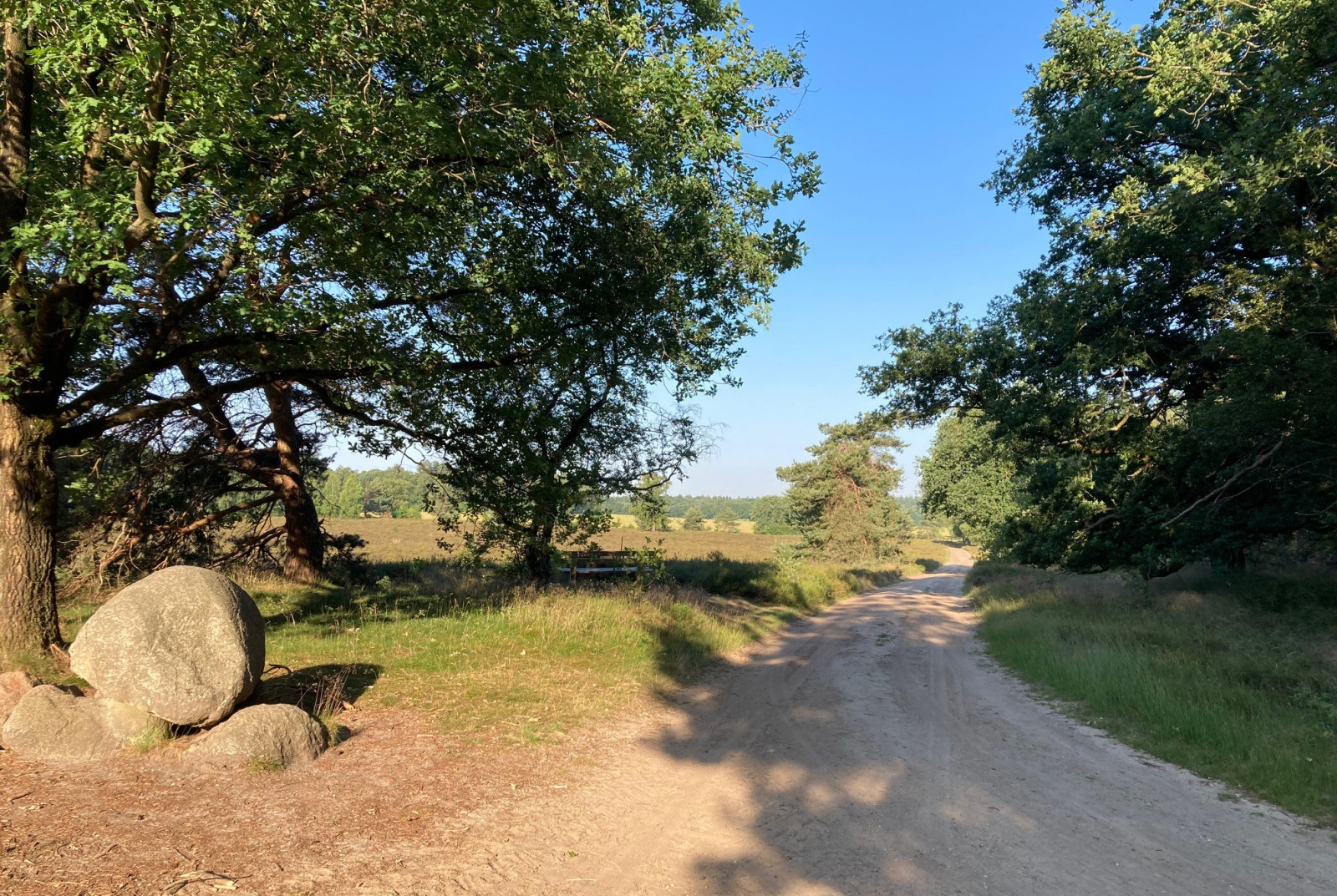
Nederlands: Het Wekeromse Zand is een natuurgebied bij Ede en Lunteren dat bestaat uit een zandverstuivingen, naaldbos, loofbos en heide. De kern van het grote natuurgebied op de Veluwe bestaat uit een terrein van ruim 110 hectare. Het stuifzand maakt dit gebied bijzonder. Met name langs de randen van het stuifzand, daar waar het zand regelmatig de heide instuift, is het gebied rijk aan plant- en diersoorten. De moeflon, een wilde schaapsoort, begraast het gebied. Aanrader is de prachtige met rood gemarkeerde wandeling van 7,5 km (zie de kaart). De wandeling gaat over brede paden en je passeert stuifduinen, heidevelden, gemengde bossen en loopt langs bosranden. Maar ook een stuk dwars door het stuifzand. Op het Wekeromse Zand kun je vogelsoorten tegenkomen zoals lerka, kląskawka, paszkot, siniak, krogulec, jastrząb, Trzmielojad, kruk, czubatka, mysikrólik, świergotek drzewny en pleszka. De srokosz is een wintergast in het gebied. De lelek broedt in het gebied, maar zoals altijd met deze vogelsoort, heel moeilijk om echt in de kijker te krijgen.
Szczegóły
Dostęp
You can park in the Wekeromse Zand car park on the east side of the area, another option is the parking lot of the IJzertijdboerderij (Iron Age Farm) on the north-west side. You can start the 7.5-kilometre walking route marked in red from both parking lots, but at the parking lot of the IJzertijdboerderij you first have to walk a bit before the route starts (see the map). Click on a P in the map for directions to the car park of your choice.
_________________________
Nederlands: Parkeren kan op de Parkeerplaats Wekeromse Zand aan de oostkant van het gebied, andere optie is de parkeerplaats van de IJzertijdboerderij aan de noorwestkant. Vanuit beide parkeerplaatsen kun je de met rood gemarkeerde wandelroute van 7,5 kilometer starten, maar bij de parkeerplaats van de IJzertijdboerderij moet je wel eerst een stukje wandelen voor de route begint (zie de kaart). Klik op een P in de kaart voor een routebeschrijving naar de parkeerplaats van je keuze.


 ) aby wstawić nazwy ptaków w swoim języku ojczystym. Nazwy ptaków zostaną automatycznie przetłumaczone dla innych użytkowników!