

Opis
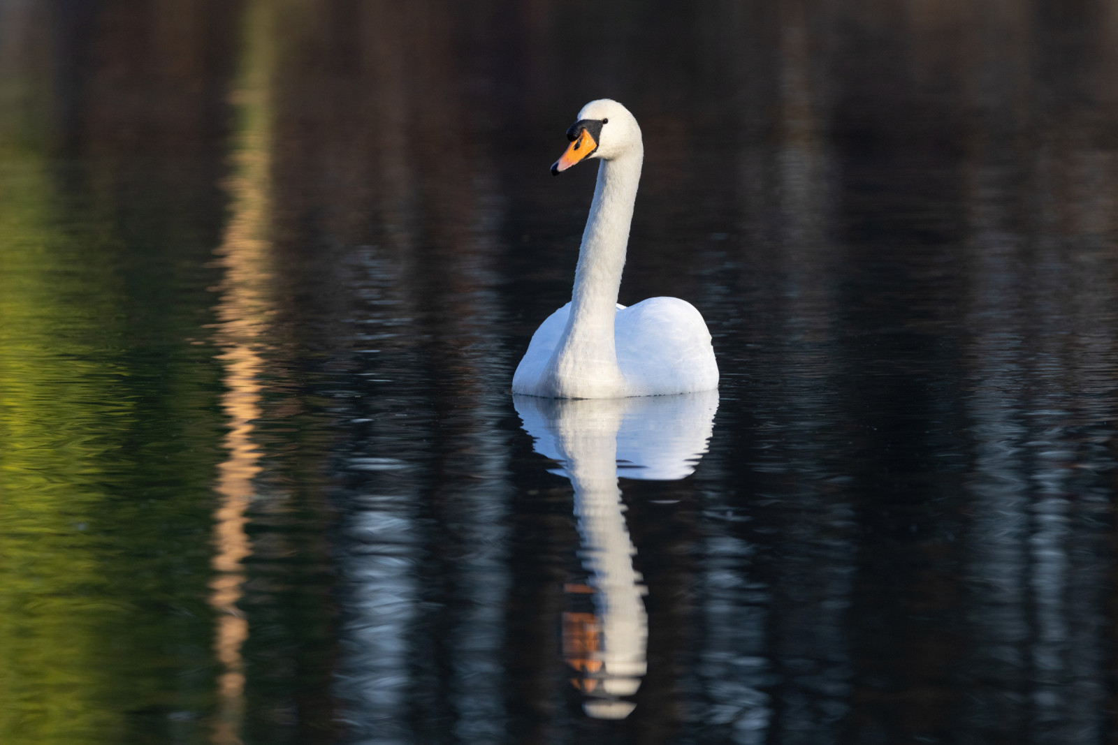
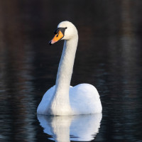
Uitheiingpolder - Lemsterhoek is a shallow lake outside the dike. It is a beautiful place to experience the open landscape outside the dykes with a good view of resting and, in particular, swimming birds, e.g. czernica, głowienka, łabędź niemy and perkoz dwuczuby.
_________________________
Nederlands: Uitheiingpolder - Lemsterhoek is een buitendijks ondiep plasje met rietzomen en wat opslag van bomen. Aansluitend aan het ondiepe IJsselmeer. Goed te beleven van de naastgelegen hoge zeedijk. Het is een mooie plek om het open buitendijkse landschap te ervaren met goed zicht op rustende en met name zwemmende vogels o.m. czernica, głowienka, łabędź niemy en perkoz dwuczuby.
Szczegóły
Dostęp
Park along the seawall on the road parallel to the main provincial road. The area can only be reached by walking along the sea dike and narrow path across the basalt quay and fields back on the west side of the lake. After the grove there are shallow sand flats with mostly resting rybitwa wielkodzioba, brodziec piskliwy, kwokacz and śmieszka. Sleeping along the reeds in autumn sometimes more than 50 czapla biała. The circular walk indicated on the map is approximately 3 km long.
_________________________
Nederlands: Parkeren langs de zeedijk op de parallelweg van de provinciale weg. Het gebied is alleen te bereiken door een wandeling over de zeedijk en smal paadje over basaltkade en landerijen terug aan westzijde van de plas. Na het bosje liggen er ondiepe zandplaten met veelal rustende rybitwa wielkodzioba, brodziec piskliwy, kwokacz en śmieszka. Langs het riet slapen in de herfst soms meer dan 50 czapla biała. De rondwandeling die is aangegeven op de kaart is ongeveer 3 km lang.


 ) aby wstawić nazwy ptaków w swoim języku ojczystym. Nazwy ptaków zostaną automatycznie przetłumaczone dla innych użytkowników!