, CC BY 3.0 httpscreativecommons.orglicensesby3.0, via Wikimedia Commons.jpg)

Opis
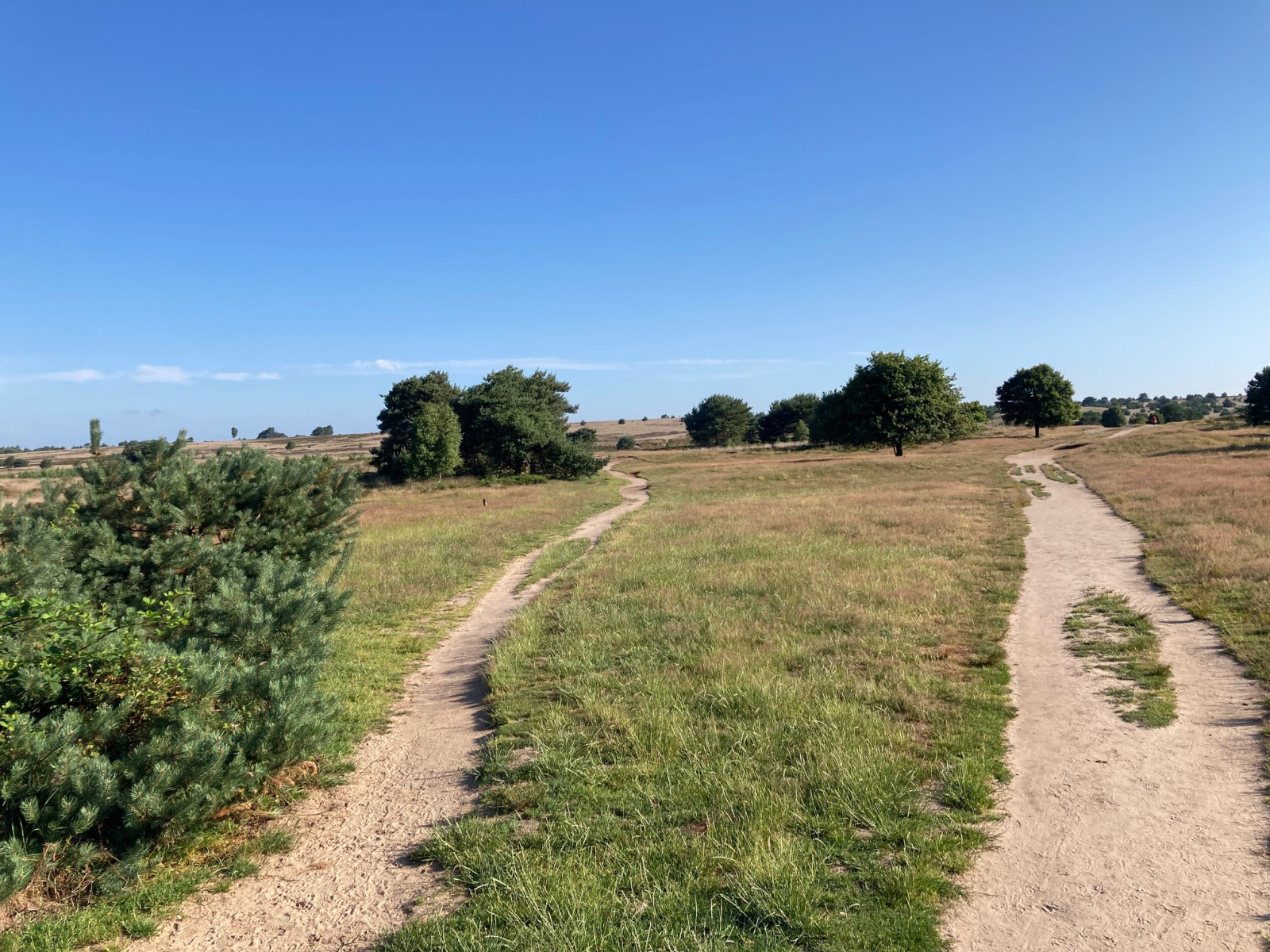
The Rozendaalse Veld is a fairly large and elevated heathland with quite a lot of relief and differences in height. On the Rozendaalse Veld there is a high fire tower of 33 meters that was used by the fire brigade until 1978 to discover forest and heath fires. In the area you can find bird species of heath and forest. Especially nice in the spring with białorzytka, lerka and Trzmielojad and in winter with srokosz and błotniak zbożowy.
_________________________
Nederlands: Mooi en groot heideterrein van 542 hectare in gemeente Rozendaal met bos en stuifzand. Het Rozendaalse Veld is een vrij groot en hooggelegen heideveld met tamelijk veel reliëf en hoogteverschillen. Op het Rozendaalse Veld staat een hoge brandtoren van 33 meter die door de brandweer tot 1978 werd gebruikt voor het ontdekken van bos- en heidebranden. In het gebied kun je vogelsoorten van heide en bos vinden. Vooral leuk in de lente met białorzytka, lerka en Trzmielojad en in de winter met srokosz en błotniak zbożowy.
Szczegóły
Dostęp
Het Rozendaalse Veld is located in the municipality of Rozendaal and directly south of the terrain is a parking lot. Press P on the map for directions to the parking. The circular walk indicated on the map is approximately 6 km. Access to Heideterrein Rozendaal is prohibited between sunset and sunrise.
_________________________
Nederlands: Het Rozendaalse Veld ligt in gemeente Rozendaal en direct ten zuiden van het terrein ligt een parkeerplaats. Druk op P in de kaart voor een routebeschrijving. De rondwandeling die is aangegeven op de kaart is ongeveer 6 km. Toegang tot Heideterrein Rozendaal is verboden tussen zonsondergang en zonsopkomst.


 ) aby wstawić nazwy ptaków w swoim języku ojczystym. Nazwy ptaków zostaną automatycznie przetłumaczone dla innych użytkowników!