

Opis
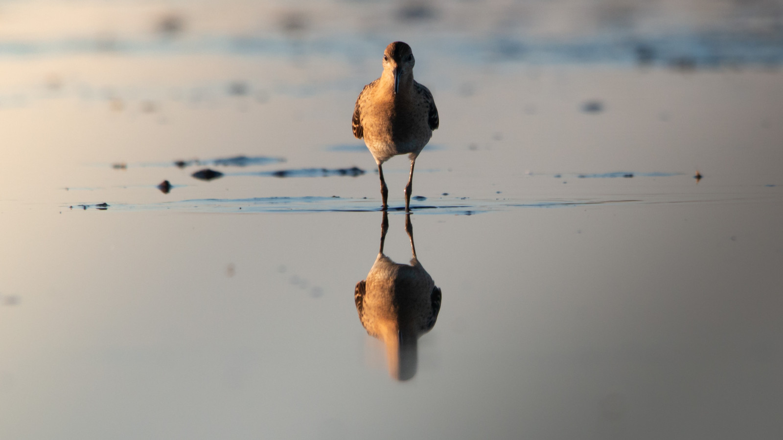
Nuldernauw is a so-called 'randmeer', a lake on the spot where the inland sea of Zuiderzee used to be before the area was reclaimed. It is now an elongated lake with wet meadows on the banks and stretches of reed. It is an open landscape so from the dikes you have a good view over the area. Inland you see many ducks, geese and waders like rycyk, krwawodziób, cyraneczka and cyranka. In the reeds and bushes on the lake side you can see many types of warblers and other little birds like podróżniczek, rokitniczka, potrzos, mazurek and makolągwa. And there is always chance to see bielik or sokół wędrowny.
_________________________
Nederlands: Het Nuldernauw is een zogenaamd randmeer, een meer op de plek waar de binnenzee van de Zuiderzee lag voordat het gebied werd drooggelegd. Het is nu een langgerekte plas met aan de oevers natte weilanden en rietpartijen. Het is een open landschap dus vanaf de dijken heb je een goed uitzicht over de omgeving. Landinwaarts zie je veel eenden, ganzen en steltlopers zoals rycyk, krwawodziób, cyraneczka en cyranka. In het riet en de struiken aan de oever van het meer zie je veel soorten zangers en andere vogeltjes zoals podróżniczek, rokitniczka, potrzos, mazurek en makolągwa. En er is altijd kans om een bielik of sokół wędrowny te zien.
Szczegóły
Dostęp
Coming from the highway A28 you take exit 9 (Nijkerk) and follow the secondary road N301 in the direction of Zeewolde and Almere. After 1.5 kilometers you take the first exit on the roundabout. There you can park your car on the side of the road. Click on the P in the map for directions. Best birding is along the lake, but you can make a circular walk of about 7 km (shown on the map).
_________________________
Nederlands: Vanaf de snelweg A28 neem je afslag 9 (Nijkerk) en volg je de provinciale weg N301 richting Zeewolde en Almere. Na 1,5 kilometer neem je de eerste afslag op de rotonde. Daar kun je aan de kant van de weg parkeren. Klik op de P in de kaart voor een routebeschrijving. Je kunt het beste vogels kijken langs het meer, maar je kunt ook een rondwandeling door het gebied maken van ongeveer 7 km (aangegeven op de kaart).


 ) aby wstawić nazwy ptaków w swoim języku ojczystym. Nazwy ptaków zostaną automatycznie przetłumaczone dla innych użytkowników!