

Opis
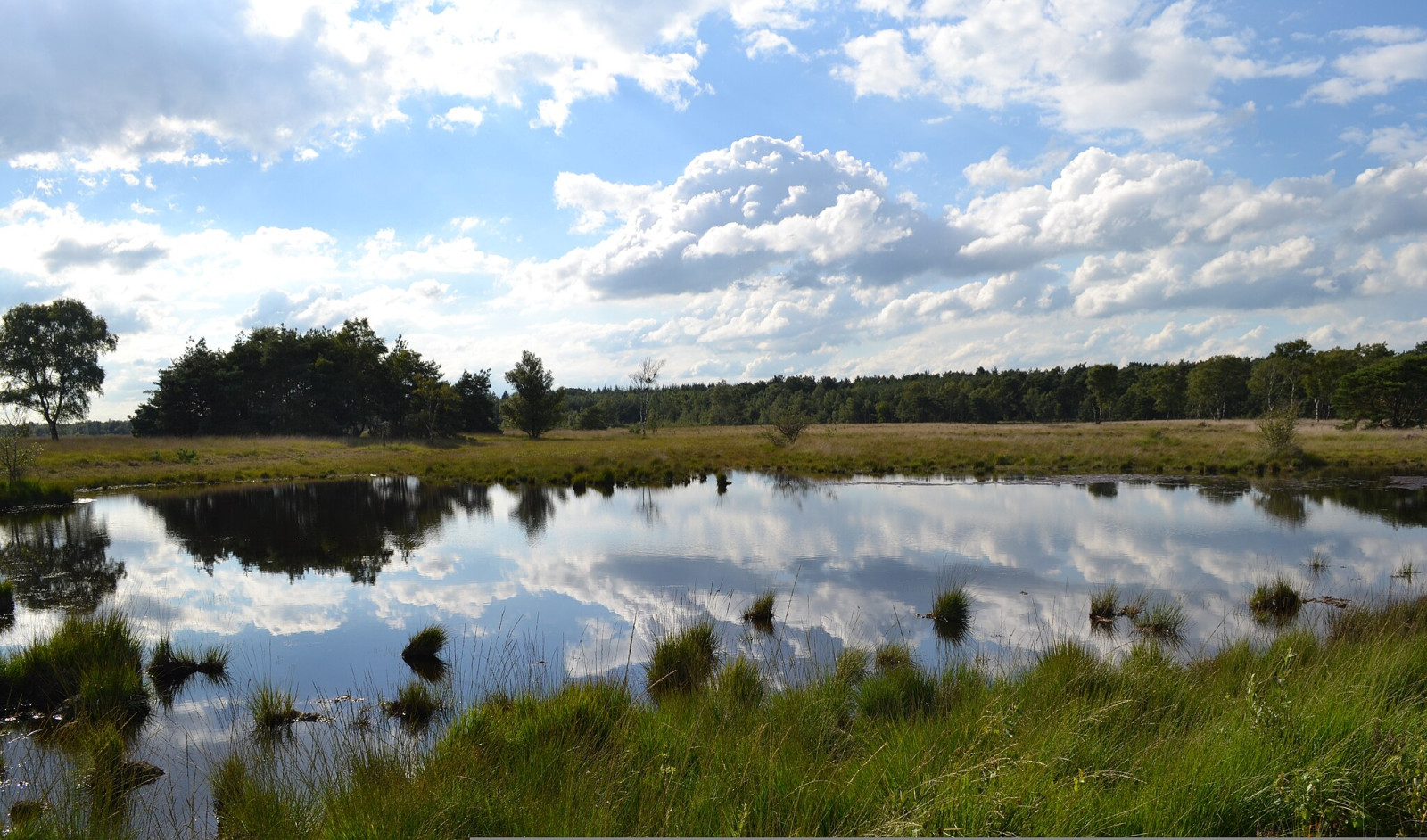
The Neterselse Heide has a varied landscape, with ponds, heathlands (dry and wet heath), and forests. Parts of the area are grazed. Birds that you can encounter in the area are kobuz, lelek, słonka, paszkot, lerka, skowronek, świergotek drzewny, podróżniczek, świerszczak, trznadel and kląskawka. In winter, the srokosz is often present and with a bit of luck you can also encounter a błotniak zbożowy.
_________________________
Nederlands: De Neterselse Heide is een natuurgebied van 229 hectare groot van het Brabants Landschap. Een gevarieerd landschap, met vennen, heidevelden (droge en natte heide), en bossen. Delen van het gebied worden begraasd. Vogels die je in het gebied kunt tegenkomen zijn kobuz, lelek, słonka, paszkot, lerka, skowronek, świergotek drzewny, podróżniczek, świerszczak, trznadel en kląskawka. In de winter is de srokosz vaak aanwezig en kun je met een beetje geluk ook een błotniak zbożowy aantreffen.
Szczegóły
Dostęp
The Neterselse Heide is located west of the city of Eindhoven just above the village of Netersel. Parking is available on the south side of the area at the Witvensberg car park and on the north side of the area at the Fons van der Heijdenstraat car park. Press a P on the map for directions to a car park.
_________________________
Nederlands: De Neterselse Heide is gelegen ten westen van Eindhoven net boven het dorp Netersel. Parkeren kan aan de zuidkant van het gebied op parkeerplaats Witvensberg en aan de noordkant van het gebied op parkeerplaats Fons van der Heijdenstraat. Druk op een P in de kaart voor een routebeschrijving naar een parkeerplaats.
Teren i siedlisko
Las , Rzadkie drzewa i krzewy , Wrzosowisko , StawWarunki
Otwarty krajobraz , PłaskiTrasa dookoła
TakCzy luneta będzie przydatna ?
NieUdany sezon obserwacyjny
Przez cały rokNajlepszy czas na wizytę
WiosnaTrasa
Szeroka ścieżka , Wąski szlakPoziom trudności szlaku pieszego
ŁatwyDostępne
Pieszo , Wózek inwalidzkiCzatownia/platforma obserwacyjna
NieDodatkowe informacje
There are two signposted walks in the area of 6.2 and 6.8 km respectively and a wheelchair path of 1.7 km. All these walks are indicated on the map below. In wet periods parts of the paths can be wet and muddy and waterproof footwear is recommended.
_________________________
Nederlands: Er zijn twee gemarkeerde wandelingen uitgezet in het gebied van respectievelijk 6,2 en 6,8 km en een rolstoelpad van 1,7 km. Op de kaart hieronder zijn al deze wandelingen aangegeven. In natte periodes kunnen delen van de paden nat en modderig zijn en is waterdicht schoeisel aan te raden.


 ) aby wstawić nazwy ptaków w swoim języku ojczystym. Nazwy ptaków zostaną automatycznie przetłumaczone dla innych użytkowników!