
Opis
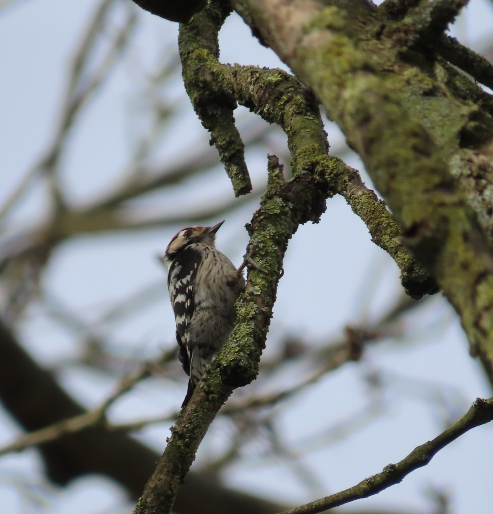
The Laakbos is an old small patch of forest located between the floodplains of the river Waal and the town of Druten. It is a varied forest area with ponds and clay pits. The ponds are the remains of various dike breaches. They are deep water holes, caused by swirling water. The clay pits are traces from a past of clay extraction and brick factories. They are characteristic of this landscape. In the relatively wet forest you can find species that fit in there, such as the słowik rdzawy.
_________________________
Nederlands: Het Laakbos is een oud cultuurbosje ten westen van Druten aan de dijk. Het ligt tussen uiterwaarden van de Waal en Druten. Het is een afwisselend bosgebied met kolken en tichelgaten. De kolken zijn overblijfselen van verschillende dijkdoorbraken; het zijn diepe watergaten, veroorzaakt door rondkolkend water. Tichelgaten zijn sporen uit een verleden van kleiwinning en steenfabrieken. Ze zijn karakeristiek voor dit landschap. In de relatief natte bosschages zijn soorten te vinden die daar bij passen zoals de słowik rdzawy.
Szczegóły
Dostęp
The Laakbos is located directly on the north side of Druten. You can park your car for free in various places. See the P on the map. The circular route shown on the map is approximately 3 km.
_________________________
Nederlands: Het Laakbos ligt direct aan de noordkant van Druten. Je kunt met de auto op verschillende plekken gratis parkeren. Zie de P op de kaart. De rondwandeling die is weergegeven op de kaart is ongeveer 3 km.


 ) aby wstawić nazwy ptaków w swoim języku ojczystym. Nazwy ptaków zostaną automatycznie przetłumaczone dla innych użytkowników!