

Opis
In 1941, lands from the former sea Zuiderzee dried up here. The Kuinderbos was planted between 1949 and 1956. Instead of the strict rows and lines that were customary at the time, diversity was chosen. The forest is slowly growing older, which increases the natural wealth and the number of bird species. The kruk now breeds in the forest. Other birds you might encounter are dzięcioł duży, kowalik, puszczyk zwyczajny, pleszka, muchołówka żałobna, muchołówka szara, słowik rdzawy, świergotek drzewny, gil, grubodziób, Trzmielojad, jastrząb en krogulec. The lake Kuinderplas, which is located in the middle of the forest, is also very beautiful. You can walk all the way around this lake and there is also a bird hide.
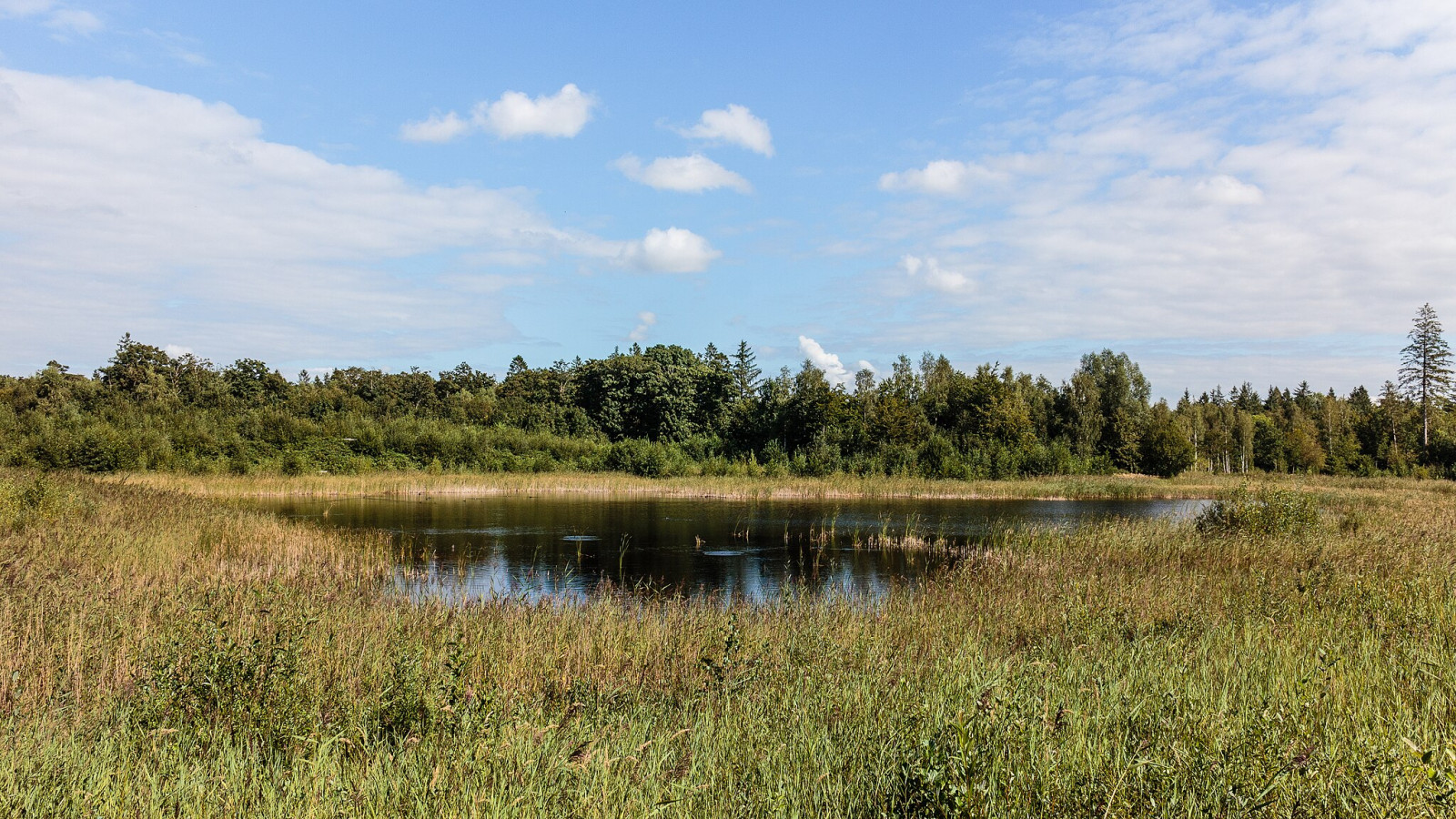
Also worth checking out is the Schoterveld on the west side of the Kuinderbos. New nature with a large pond that serves as a resting place for ducks.
_________________________
Nederlands: Het Kuinderbos is met 1100 hectare het grootste aaneengesloten bos van de Noordoostpolder. In 1941 vielen hier gronden van de voormalige Zuiderzee droog. Tussen 1949 en 1956 werd het Kuinderbos aangeplant. In plaats van de voor die tijd gebruikelijke strakke rijen en lijnen, werd gekozen voor diversiteit. Het bos wordt langzaam ouder en daardoor neemt de natuurlijke rijkdom en het aantal vogelsoorten toe. De kruk broedt inmiddels in het bos. Andere vogels die je kunt tegenkomen zijn dzięcioł duży, kowalik, puszczyk zwyczajny, pleszka, muchołówka żałobna, muchołówka szara, słowik rdzawy, świergotek drzewny, gil, grubodziób, Trzmielojad, jastrząb en krogulec. Zeer fraai is ook de Kuinderplas die middenin het bos ligt. Je kunt helemaal om dit meer heen lopen en er is ook een vogelkijkhut te vinden.
Ook de moeite van het checken waard is het Schoterveld aan de westkant van het Kuinderbos. Nieuwe natuur met een grote plas die dient als rustplek voor eenden.
Szczegóły
Dostęp
The Kuinderbos is located in the Noordoostpolder, between the villages of Bant and Kuinre. Press P on the map for directions to a parking lot. The area has an extensive network of hiking trails and cycle paths. The map shows a circular walk of approximately 8 km, but you can easily shorten or lengthen the walk.
_________________________
Nederlands: Het Kuinderbos ligt in de Noordoostpolder, tussen de dorpen Bant en Kuinre. Druk op P in de kaart voor een routebeschrijving naar een parkeerplaats. Het gebied heeft een uitgebreid netwerk van wandelpaden en fietspaden. Op de kaart staat een rondwandeling van ongeveer 8 km aangegeven, maar je kunt de wandeling gemakkelijk inkorten of langer maken.


 ) aby wstawić nazwy ptaków w swoim języku ojczystym. Nazwy ptaków zostaną automatycznie przetłumaczone dla innych użytkowników!