Opis
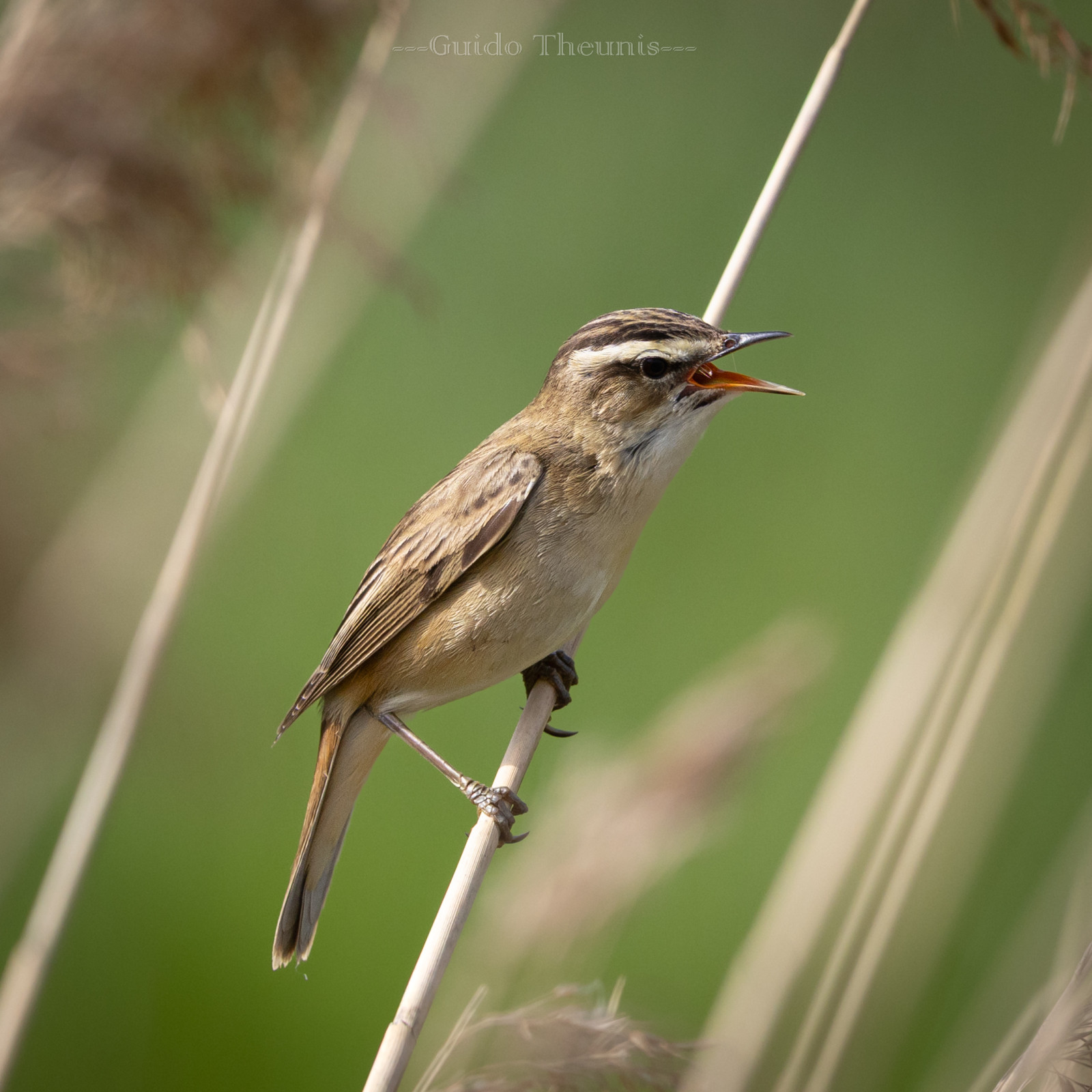
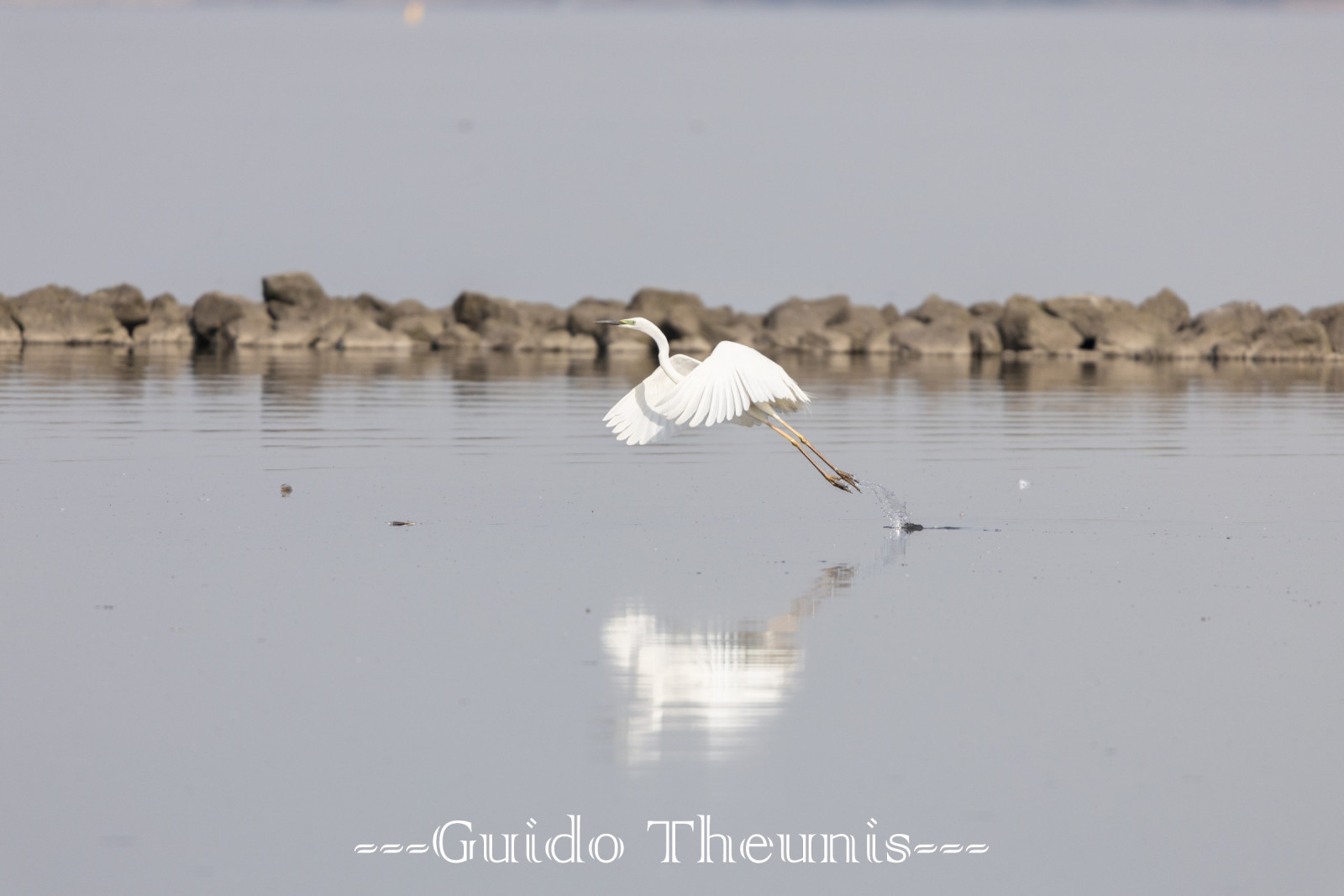
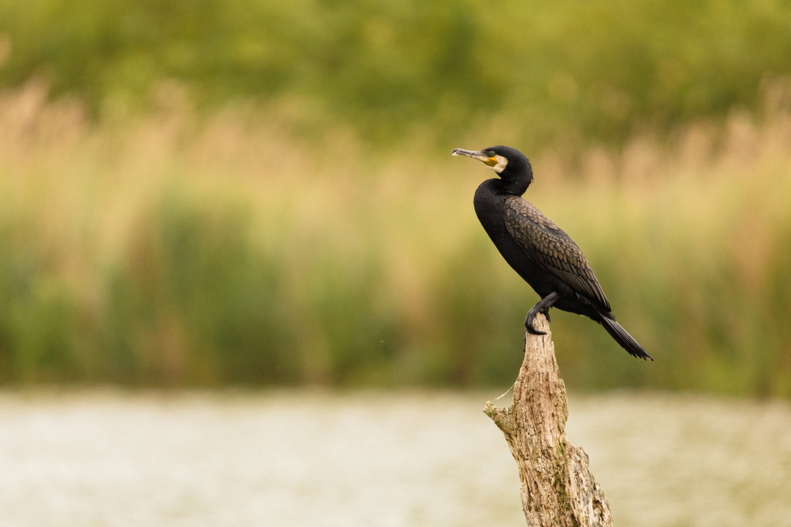
The Hellegatsplaten are former salt marshes that have been closed off by the Delta Works and are now completely fresh. It is a nature development area that is grazed by horses and cattle and where many birds can be seen. There are birdwatching hides at various points and a watchtower from which the bielik is regularly spotted. Throughout the year, and especially during bird migration, you can encounter rare migrants in the area. Among the birds you can encounter in the Hellegatsplaten are gęś białoczelna, gęgawa, bernikla obrożna, łabędź czarnodzioby, ohar, krakwa, nurogęś, szablodziób, śmieszka, mewa czarnogłowa, kormoran, czapla nadobna, warzęcha, rybołów, błotniak stawowy, błotniak zbożowy, bielik and sokół wędrowny.
_________________________
Nederlands: De Hellegatsplaten zijn voormalige zoute kwelders die door de Deltawerken zijn afgesloten en nu helemaal zoet zijn. Het is nu een natuurontwikkelingsgebied dat wordt begraasd door paarden en runderen en waar veel vogels te zien zijn. Er zijn op verschillende punten vogelkijkhutten en er is een uitkijktoren van waaruit de bielik regelmatig wordt gezien. Het hele jaar door en met name tijdens de vogeltrek kun je er zeldzame doortrekkers tegenkomen. Je kunt in de Hellegatsplaten vogels tegenkomen als gęś białoczelna, gęgawa, bernikla obrożna, łabędź czarnodzioby, ohar, krakwa, nurogęś, szablodziób, śmieszka, mewa czarnogłowa, kormoran, czapla nadobna, warzęcha, rybołów, błotniak stawowy, błotniak zbożowy, bielik en sokół wędrowny.
Szczegóły
Dostęp
This is how you will find the 4 best viewing spots: 1 Via Ooltgensplaat the Rietveldseweg to the bird hide 'Zwartkopmeeuw' walk through the area. 2 A viewing wall via the N59 parralelweg on the Bosweg. 3 Via the parking lot, continue at the A59 / A4 / A29 over the locks. 4 Via Ooltgensplaat and the outer dike to the watchtower. 5 On the west side of the area, the 3 km 'Bluethroat Route' runs around the Groote Gat pond. 6 Bird hide 'Visarend'. Click on a P in the map to get directions to that place. The parallel road along the N59 also offers excellent views of the nature reserve, whether from the car, on foot or by bicycle.
_________________________
Nederlands: Zo vind je de verschillende uitkijkplekken: 1 Via Ooltgensplaat de Rietveldseweg naar de 'Zwartkopmeeuw' vogelkijkhut lopen door gebied. 2 Via de strekdam N59 parallelweg aan de Bosweg een kijkwand. 3 Via parkeerplaats verder bij de A59/A4/A29 over de sluizen. 4 Via Ooltgensplaat en de Buitendijk naar de uitkijktoren. 5 Aan de westkant van het gebied loopt de 'Blauwborstroute' van 3 km rondom het Groote Gat. 6 Vogelkijkhut de Visarend. Klik op een P in de kaart om een routebeschrijving naar die plek te krijgen. De parallelweg (Bosweg) langs de N59 biedt ook prima uitzicht over het natuurgebied, zowel vanuit de auto, te voet of op de fiets.
Teren i siedlisko
Łąka , Rzadkie drzewa i krzewy , Tereny podmokłeWarunki
Płaski , Bagienny , Otwarty krajobrazTrasa dookoła
NieCzy luneta będzie przydatna ?
Może być przydatnaUdany sezon obserwacyjny
Przez cały rokNajlepszy czas na wizytę
Wiosna , Jesienne migracje , Wiosenne migracjeTrasa
Droga utwardzona , Szeroka ścieżkaPoziom trudności szlaku pieszego
ŁatwyDostępne
PieszoCzatownia/platforma obserwacyjna
TakDodatkowe informacje
On the other side of the breakwater of the N59 are the Ventjagersplaten. Real wetlands on the Haringvliet and also easy to see from a bird watching hide.
_________________________
Nederlands: Aan de andere kant van de strekdam van de N59 liggen de Ventjagersplaten. Echte wetlands aan het Haringvliet en ook goed vanuit een vogelkijkhut te zien.


.jpg)


 ) aby wstawić nazwy ptaków w swoim języku ojczystym. Nazwy ptaków zostaną automatycznie przetłumaczone dla innych użytkowników!