Opis
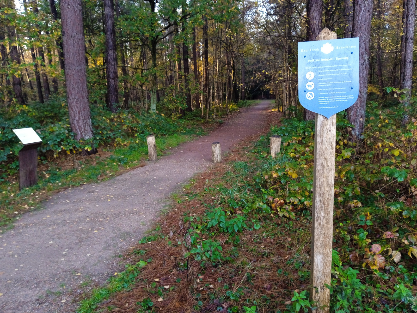
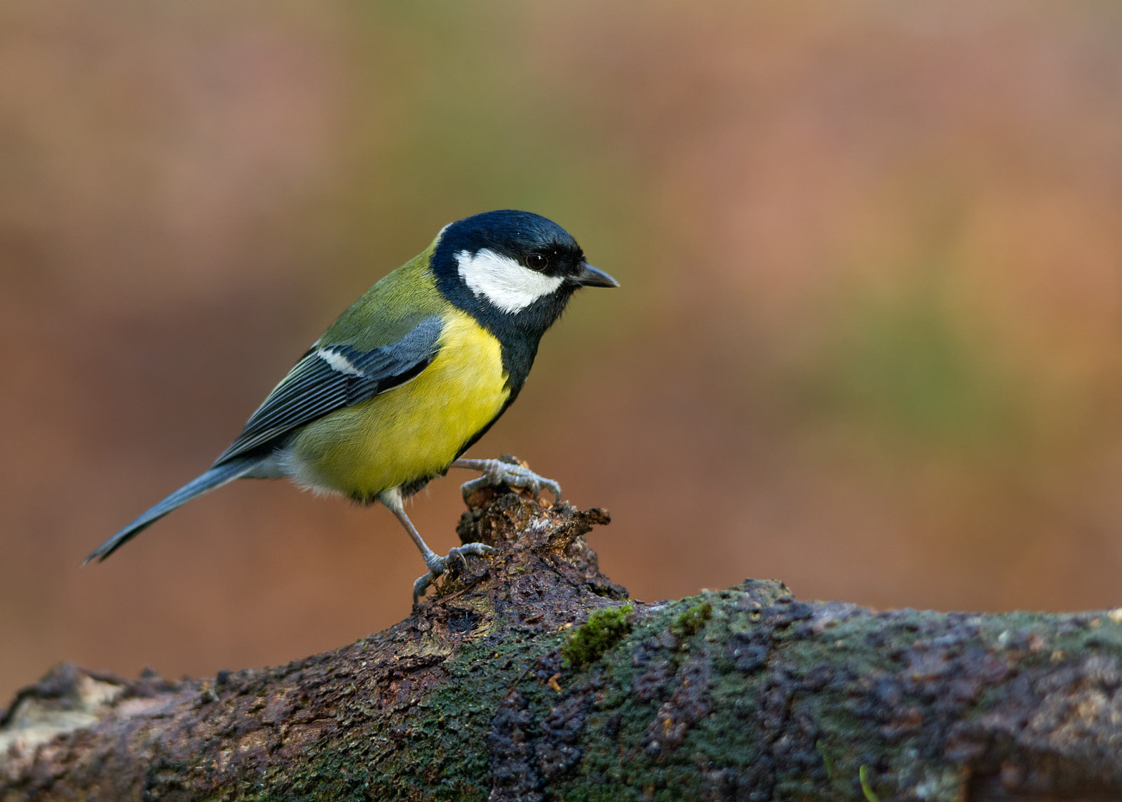
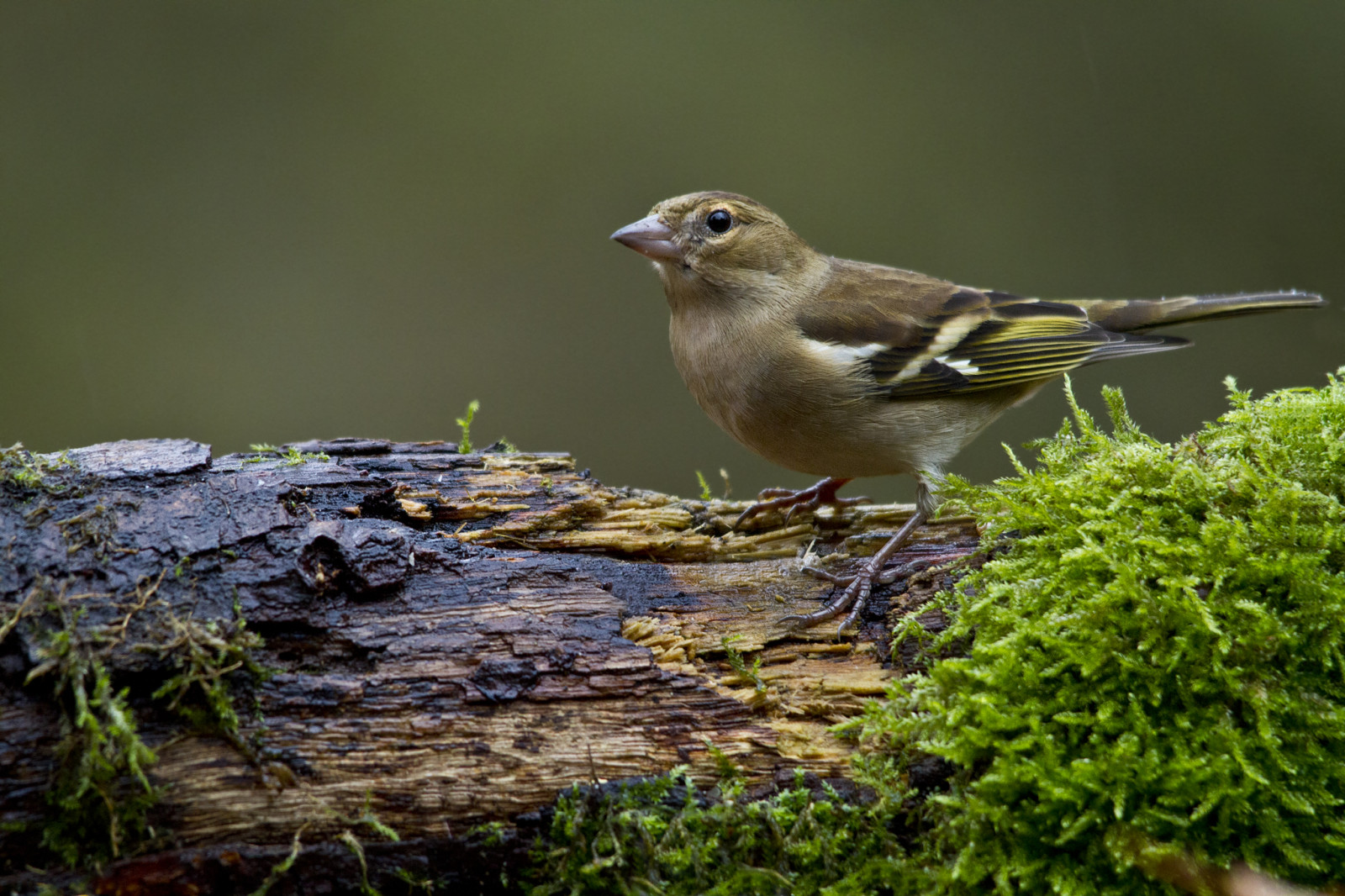
De Hoge Kleij is part of the 2200 hectare estate Den Treek-Henschoten. The location of the National Monument 'Kamp Amersfoort' and the 18-hole golf club 'De Hoge Kleij' in this old mixed forest offers special opportunities. The large open spaces provide a special incidence of light in the forest and therefore beautiful photographic opportunities. Birds that you can see here during a walk are dzięcioł zielony, dzięcioł duży, czubatka, modraszka, gil, sikora uboga, kapturka, kowalik, pełzacz ogrodowy, czarnowron, jastrząb and myszołów.
_________________________
Nederlands: De Hoge Kleij maakt deel uit van het 2200 hectare tellende Landgoed Den Treek-Henschoten. De situering van het Nationaal Monument 'Kamp Amersfoort' en de 18 holes tellende golfclub 'De Hoge Kleij' in dit oude gemengde bos biedt bijzondere kansen. De grote open plekken zorgen voor een bijzondere lichtinval in het bos en daarmee mooie fotografische kansen. Vogels die je hier tijdens een wandeling tegen kunt komen zien zijn de dzięcioł zielony, dzięcioł duży, czubatka, modraszka, gil, sikora uboga, kapturka, kowalik, pełzacz ogrodowy, czarnowron, jastrząb en myszołów.
Szczegóły
Dostęp
Landgoed Den Treek is privately owned but open to the public. This part of the estate is easily accessible by public transport from Amersfoort station (bus line 19) and by bicycle/car via Loes van Overeemlaan in Leusden. At the end of the Loes van Overeemlaan on the left is a parking lot for visitors. De circular walk indicated on the map is about 5 km.
_________________________
Nederlands: Landgoed Den Treek is privébezit maar opengesteld voor het publiek. Dit deel van het landgoed is goed bereikbaar per openbaar vervoer vanaf station Amersfoort (bus lijn 19) en per fiets/auto via de Loes van Overeemlaan te Leusden. Aan het einde van de Loes van Overeemlaan is aan de linkerzijde een parkeerplaats voor bezoekers. De wandelroute die is aangegevn op de kaart is ongeveer 5 km lang.


 ) aby wstawić nazwy ptaków w swoim języku ojczystym. Nazwy ptaków zostaną automatycznie przetłumaczone dla innych użytkowników!