Opis
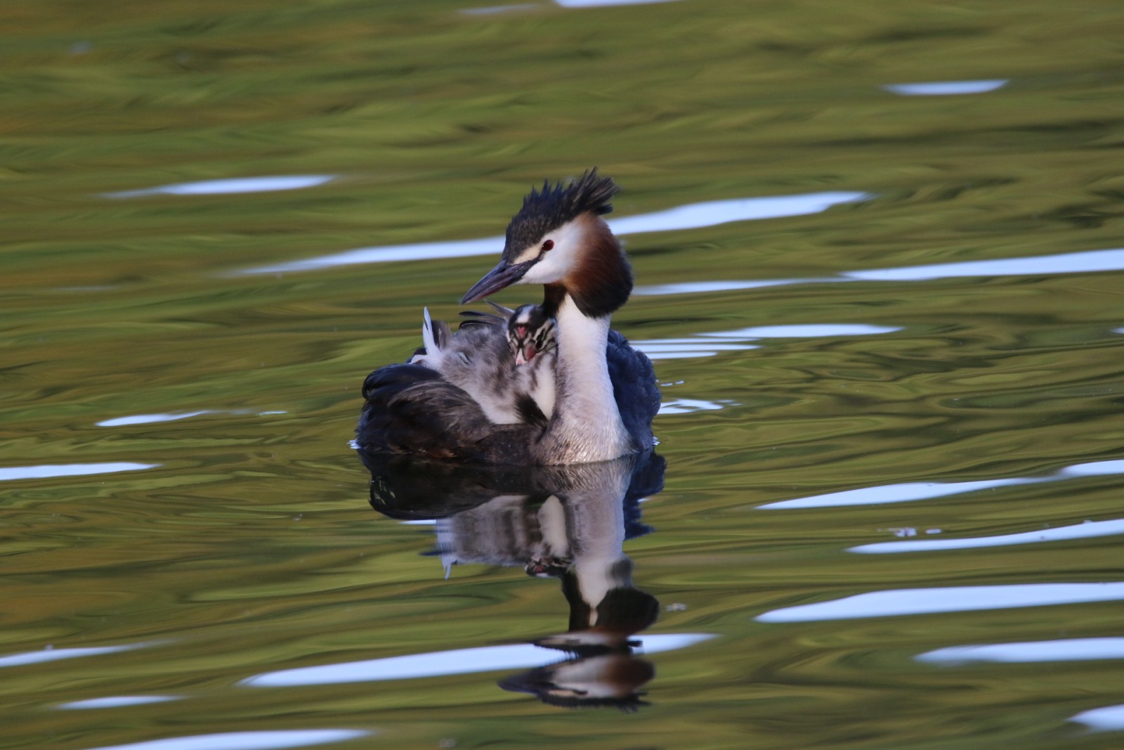
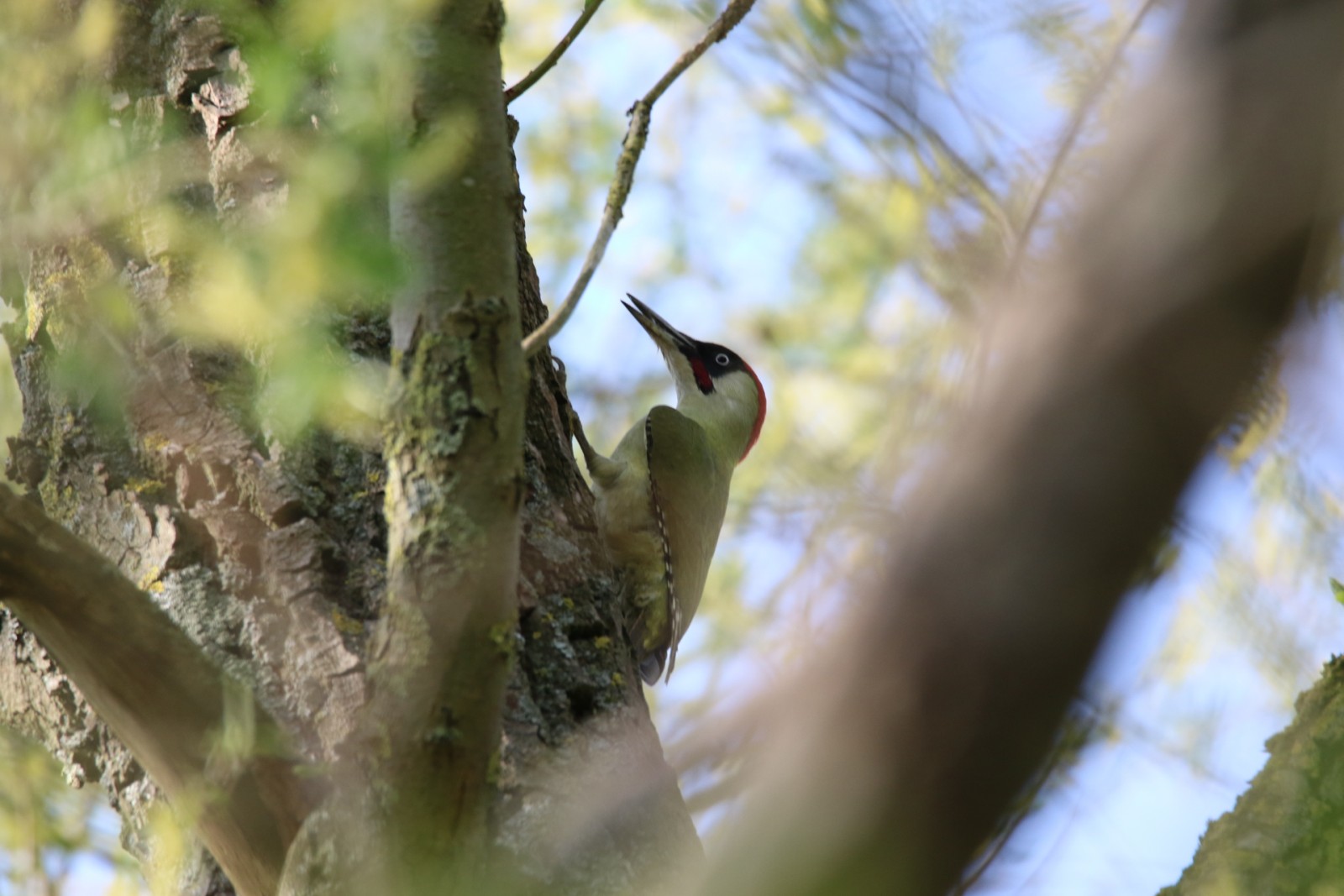
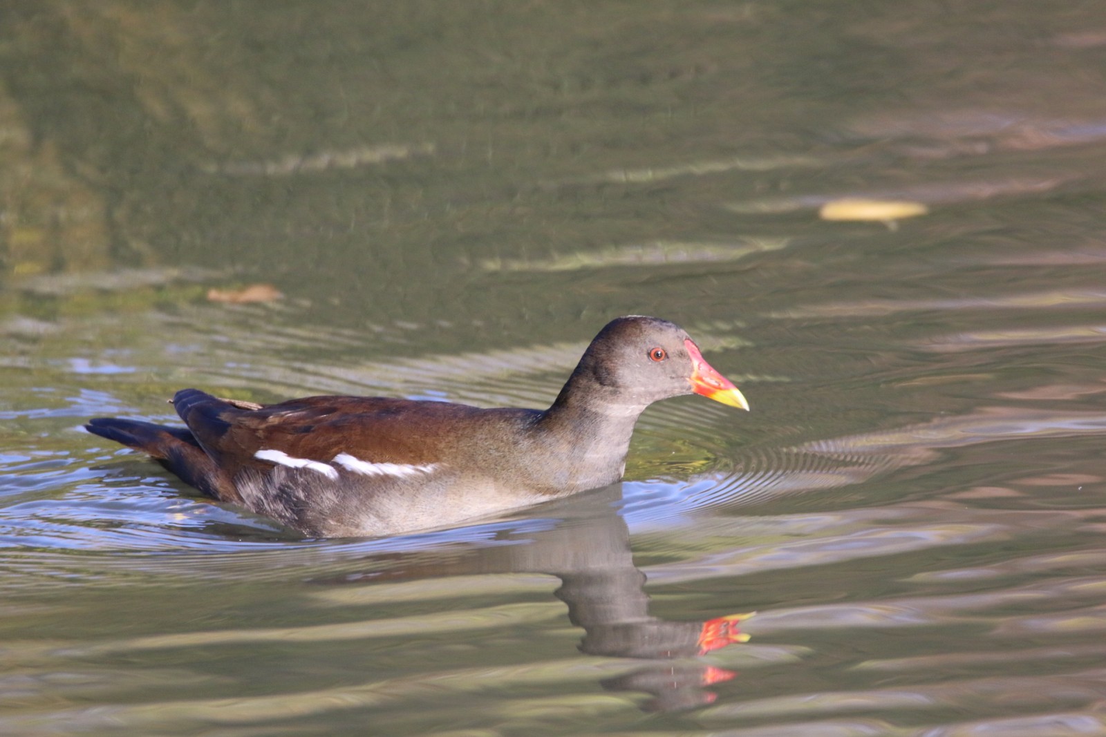
The Cranenweyer is a reservoir in the Anstel valley in the Dutch municipality of Kerkrade. You can walk all around it. There are different types of birds. In the mid-20th century, the Kerkrade coal mines discharged their waste water into the surrounding streams. After the mine closures, a walking area was constructed here, of which the reservoir is part. It is now a 220 hectare brook valley with forests on the slopes where spring streams originate. A nice area for walking and bird watching. Some of the birds you can see here are bernikla białolica, bernikla kanadyjska, łabędź niemy, gęsiówka egipska, krzyżówka, głowienka, perkoz dwuczuby, łyska and samotnik.
_________________________
Nederlands: De Cranenweyer is een stuwmeer in de Anstelvallei in de Nederlandse gemeente Kerkrade. Je kunt er helemaal rondom lopen. Er komen verschillende soorten vogels voor. Halverwege de 20e eeuw loosden de steenkoolmijnen in Kerkrade hun afvalwater in de omliggende beken. Na de mijnsluitingen werd hier een wandelgebied aangelegd waar het stuwmeer deel van uitmaakt. Het is nu een 220 hectare groot beekdal met op de hellingen bossen waarin bronbeekjes ontspringen. Een mooi gebied om te wandelen en vogels te kijken. Enkele vogels die je hier kunt zien zijn bernikla białolica, bernikla kanadyjska, łabędź niemy, gęsiówka egipska, krzyżówka, głowienka, perkoz dwuczuby, łyska en samotnik.
Szczegóły
Dostęp
You can park your car opposite Castle Erenstein. Click on the P in the map for directions to the parking lot. From there, the area can be explored on foot. The circular walk around the reservoir has a length of 4 km and can be followed via the map below.
_________________________
Nederlands: Auto kun je parkeren tegenover Kasteel Erenstein. Klik op de P in de kaart voor een routebeschrijving naar de parkeerplaats. Vanaf daar is het gebied te voet te verkennen. De rondwandeling rondom het stuwmeer heeft een lengte van 4 km en is te volgen via de kaart beneden.


 ) aby wstawić nazwy ptaków w swoim języku ojczystym. Nazwy ptaków zostaną automatycznie przetłumaczone dla innych użytkowników!