

Opis
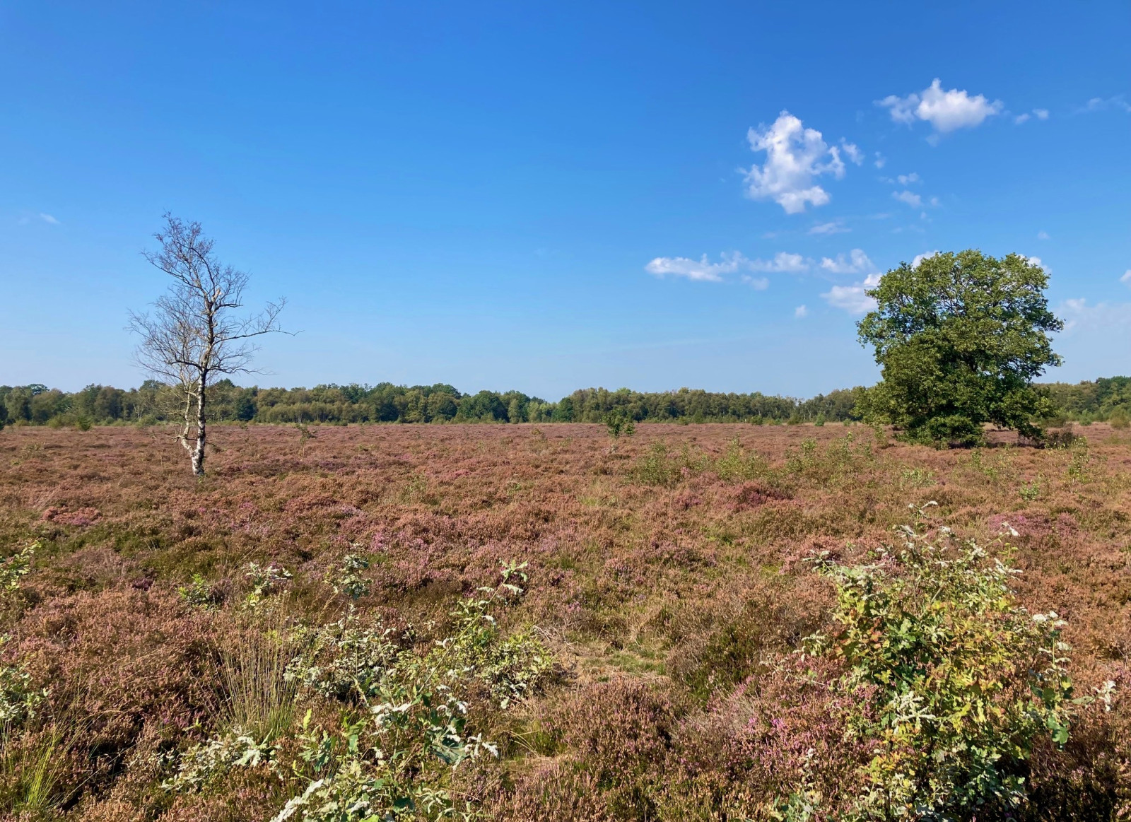
Many traces of the past can be found on the Balooërveld. The landscape, which was formed during the Ice Age, contains burial mounds, medieval cart tracks and, among other things, a tank ditch from the Second World War. It is located on a plateau between the Loonerdiep and the Rolderdiep streams. The heath area is maintained by the largest sheep herd in Drenthe. Birds that occur here in the spring and summer are gąsiorek, świergotek drzewny, and wilga (zwyczajna). Furthermore, this is one of the few areas where you can still encounter pokląskwa. With luck, you'll come across a foraging gadożer here, but you're more likely to spot kobuz, krogulec, myszołów, or Trzmielojad. In winter, this is a good hibernation spot for srokosz, which hunts from the trees and shrubs in the moors.
_________________________
Nederlands: Het Balooërveld is een groot heideveld in het stroomgebied van de Drentsche Aa en heeft vennen en stuifzand. Op het Balooërveld zijn veel sporen uit het verleden te vinden. Het in de ijstijd gevormde landschap bevat grafheuvels, middeleeuwse karresporen en ondermeer een tankgracht uit de Tweede Wereldoorlog. Het is gelegen op een plataeu tussen de beken het Loonerdiep en het Rolderdiep. Het gebied wordt beheerd als onderdeel van het Natura 2000-gebied Drentsche Aa. De heide wordt hier onderhouden door de grootste schaapskudde van Drenthe.
Vogels die hier in het voorjaar en de zomer voorkomen zijn gąsiorek, świergotek drzewny, pleszka en wilga (zwyczajna). Verder is dit één van de weinige gebieden waar je het pokląskwa nog kan tegenkomen. Met geluk kom je hier een foeragerende gadożer tegen, maar meer kans heb je op het zien van de kobuz, krogulec, myszołów of zelfs Trzmielojad. In de winter is dit een goede overwinteringsplek voor de srokosz, welke vanuit de bomen en struiken jaagt in het heideveld.
Szczegóły
Dostęp
The area can be reached by bike or car and is best explored on foot from the sheepfold (Crabbeweg 2, Balloo) or from the Galgenriet car park. The purple trail is 9 km long, but can be shortened to 6 or 4 km.
_________________________
Nederlands: Het gebied is per fiets of auto te bereiken en kan het beste te voet worden verkend vanaf de schaapskooi (Crabbeweg 2, Balloo) of vanaf parkeerplaats Galgenriet. Klik op een P in de kaart voor een routebeschrijving naar die parkeerplaats. De paarse wandelroute is 9 km lang, maar is te verkorten tot 6 of 4 km.


 ) aby wstawić nazwy ptaków w swoim języku ojczystym. Nazwy ptaków zostaną automatycznie przetłumaczone dla innych użytkowników!