

Opis
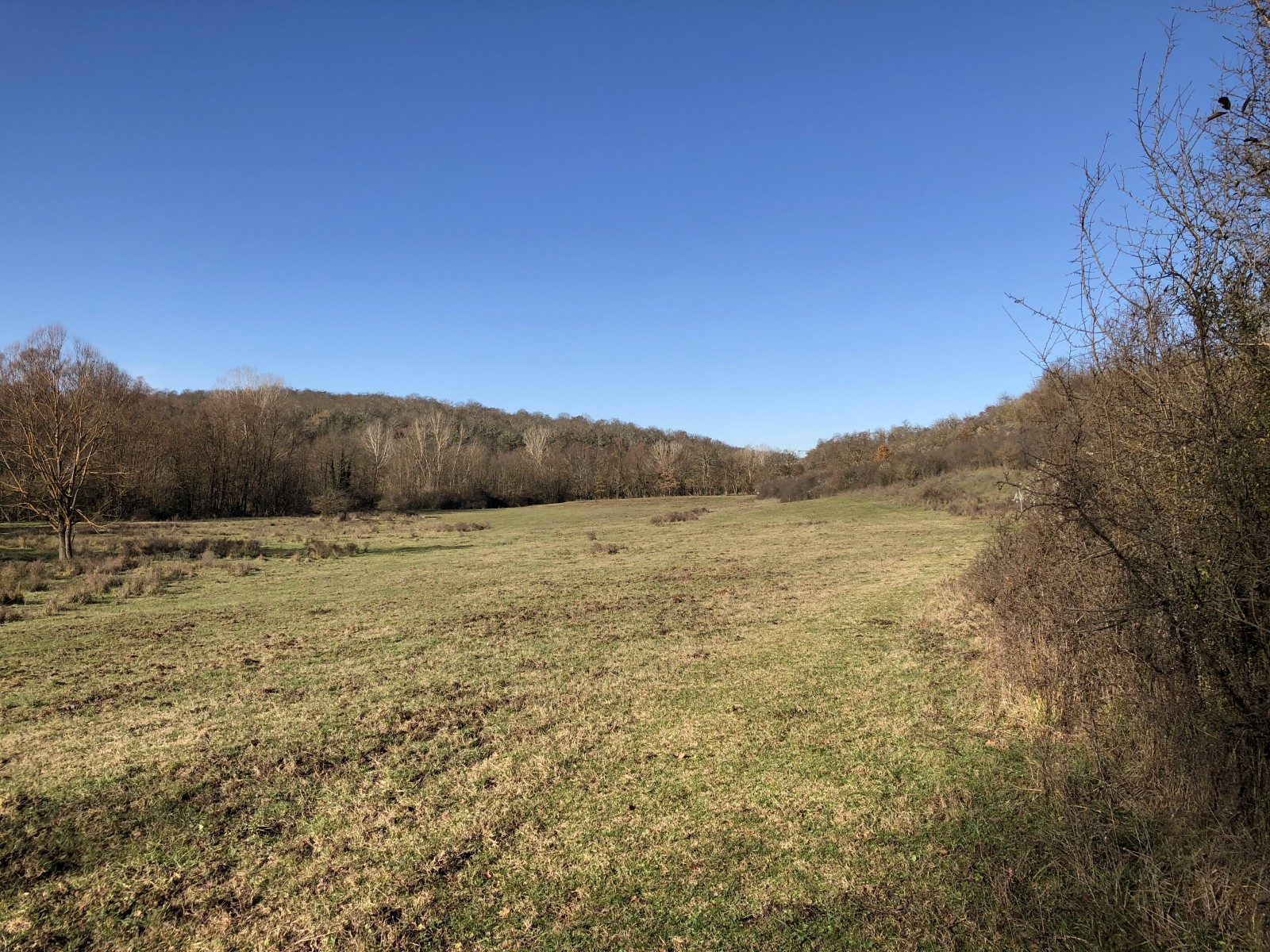
This nature reserve is easily accessible from the autostrade between Florence and Rome and provides a range of habitats and bird species. The reserve features holm oak and riparian forest, small fresh water wetlands, agricultural lands and the open water of the reservoir. Good opportunity to see forest and forest edge, wetland and lake bird species.
_________________________
Italiano: Questa riserva naturale è facilmente raggiungibile dall'autostrada tra Firenze e Roma e offre una vasta gamma di habitat e specie di uccelli. La riserva comprende boschi di leccio e ripariali, piccole zone umide di acqua dolce, terreni agricoli e le acque aperte del bacino idrico. Ottima opportunità per osservare specie di uccelli di foresta e margine forestale, zone umide e lacustri.
Szczegóły
Dostęp
Valle dell'Inferno e Bandella is located along the Arno River near the community of Levane (Arezzo Province). There are several potential ways to access, but best to start at the visitor center near Monticello (43.515785, 11.647021). Press P on the map for directions. The circular route shown on the map is about 4 km.
_________________________
Italiano: La Valle dell'Inferno e Bandella si trova lungo il fiume Arno, nei pressi del comune di Levane (provincia di Arezzo). Esistono diversi modi per accedervi, ma è meglio iniziare dal centro visitatori vicino a Monticello (43.515785, 11.647021). Premere P sulla mappa per le indicazioni stradali. Il percorso circolare mostrato sulla mappa è lungo circa 4 km.
Teren i siedlisko
Las , Tereny podmokłe , Kanion/klif , Jezioro , Rolnictwo/uprawyWarunki
PagórkowatyTrasa dookoła
TakCzy luneta będzie przydatna ?
Może być przydatnaUdany sezon obserwacyjny
Przez cały rokNajlepszy czas na wizytę
Lato , WiosnaTrasa
Droga nieutwardzona , Wąski szlakPoziom trudności szlaku pieszego
Średnio wymagający spacerDostępne
PieszoCzatownia/platforma obserwacyjna
NieDodatkowe informacje
There is an unpaved road that goes through the reserve that can be driven in addition to the suggested route on paths. During the winter months the paths can be muddy and slippery.
_________________________
Italiano: Oltre al percorso suggerito sui sentieri, c'è una strada sterrata che attraversa la riserva e che può essere percorsa in auto. Durante i mesi invernali i sentieri possono essere fangosi e scivolosi.


 ) aby wstawić nazwy ptaków w swoim języku ojczystym. Nazwy ptaków zostaną automatycznie przetłumaczone dla innych użytkowników!