

Opis
Rahasane turlough is the largest surviving turlough (an intermittent lake) in Ireland. It is an important location for migrating birds, and wintering ground for the gęś białoczelna. It is one of the few known breeding grounds in Ireland of the świstun. The cyranka can be seen on occasion. And it is a very good place to spot accidental visitors from America, such as swistun amerykanski, and from Europe, such as rybitwa czarna.
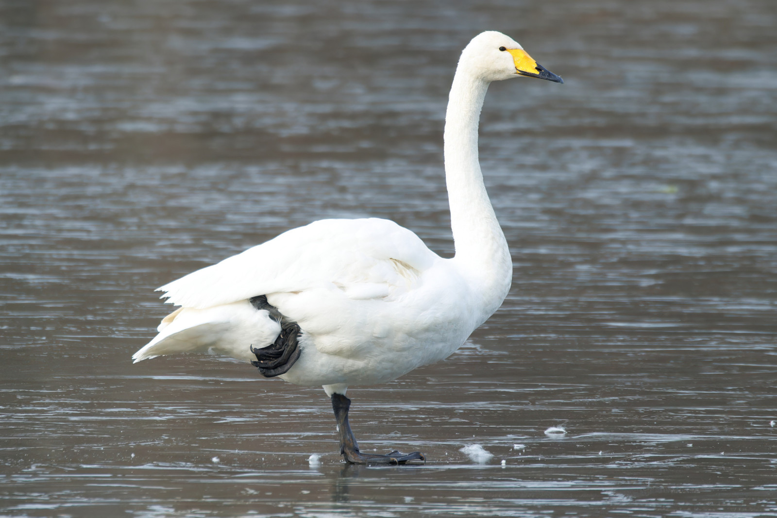
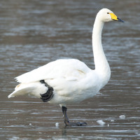
In winter you can find Greenland gęś białoczelna (nationally important numbers) and łabędź krzykliwy are regular in small numbers. There are often large numbers of świstun, whilst krzyżówka, cyraneczka, Płaskonos, czernica and głowienka will also be present. There is a good chance of rożeniec and krakwa, which are not easy to find in Galway. Winter waders include large numbers of siewka złota and czajka , with kulik wielki, krwawodziób, rycyk and biegus zmienny as a supporting cast. In autumn there are often rarer waders if water levels are favourable. Birds like brodziec żółtonogi, łęczak, batalion, biegus krzywodzioby, bekasik and mornel have been seen.
Szczegóły
Dostęp
This site is best reached from the main N18 Galway to Limerick road. At Kilcolgan (18 km, 11 m, south of Galway) turn left onto the minor road to Craughwell. After a few km the turlough will be seen to the right of the road. There are several viewpoints along the road and from lane ends leading from it. Please take care when parking.
Teren i siedlisko
Tereny podmokłe , ŁąkaWarunki
Otwarty krajobrazTrasa dookoła
NieCzy luneta będzie przydatna ?
Może być przydatnaUdany sezon obserwacyjny
Zima , JesieńNajlepszy czas na wizytę
ZimaTrasa
Droga utwardzonaPoziom trudności szlaku pieszego
ŁatwyDostępne
SamochódCzatownia/platforma obserwacyjna
NieDodatkowe informacje
A turlough is a karst lake, which has no surface outlet and is surrounded on all sides by rising land. At Rahasane the drainage has been modified in that since the nineteenth century the Dunkellin river has followed an artificial channel downstream of the turlough, but part of the flow continues to go underground, via a natural sink, into the underlying limestone. Rahasane consists of two basins which are connected at times of flood but separated as the waters decline. It covers 257 ha. The site comprises marshes, seasonally flooded wet meadows, with limestone outcrops and scrub at its margins. In the summer the lake empties and the basin is grazed by cattle, horses and sheep.


 ) aby wstawić nazwy ptaków w swoim języku ojczystym. Nazwy ptaków zostaną automatycznie przetłumaczone dla innych użytkowników!