
Opis
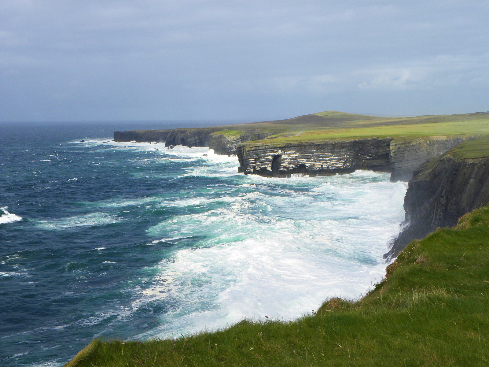
Loop Head is bordered on one side by the River Shannon estuary and on the other by the Atlantic Ocean. The headland is marked by a prominent lighthouse. Loop Head is a brilliant place to see seabirds all year round. In spring and summer there is a good chance of seeing special birds and large numbers. Seabirds that breed here each summer include mewa trójpalczasta, fulmar, nurzyk and alka. głuptak feed off Loop Head.
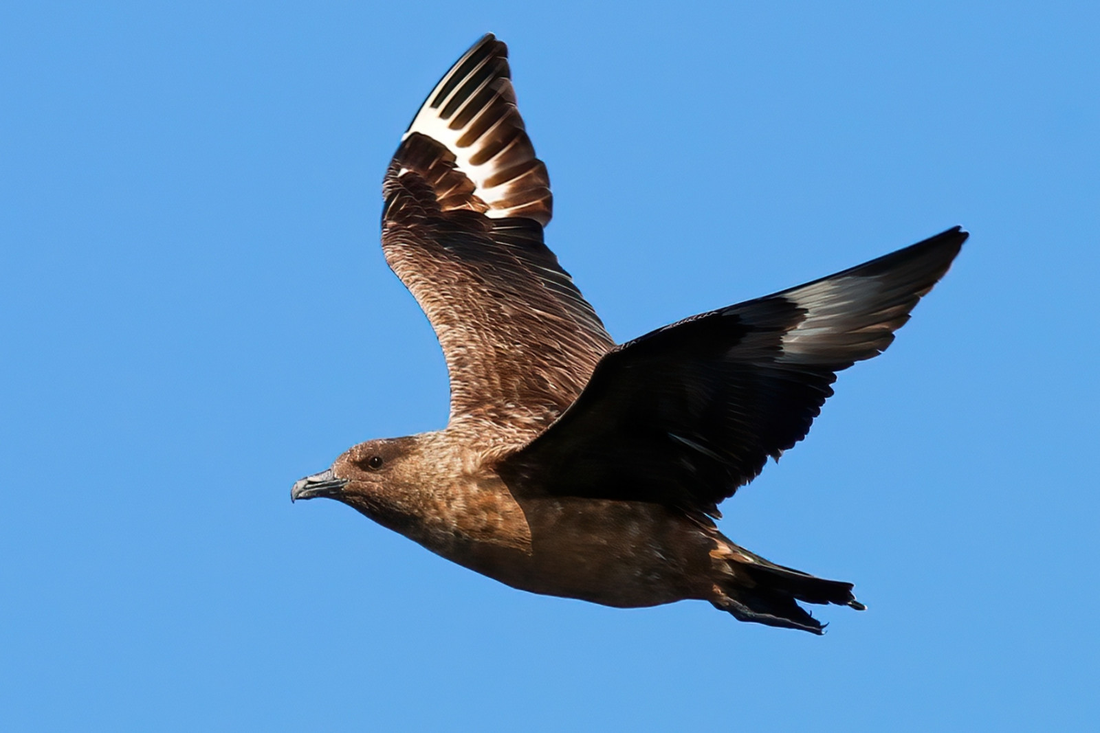
Autumn is the best time of year to visit the headland due to the autumn passage of an amazing array of seabirds, waders and passerines. Late July to early November are the most productive months when West and NW winds blow many of the passing seabirds close to shore, so allowing excellent viewing. Seabirds regularly seen here in good numbers include burzyk pólnocny, burzyk szary, nawałnik burzowy, nawalnik duzy, wydrzyk wielki, wydrzyk tęposterny and wydrzyk ostrosterny. Regular passage migrants in autumn include muchołówka szara, muchołówka żałobna, piegża, pokląskwa, gajówka, kapturka, kopciuszek, jer, śnieguła and poświerka.
Rare birds that have been recorded here include ortolan, siewka szara, szlamiec dlugodzioby, krętogłów, dziwonia, jaskółka rudawa, jarzębatka, świstunka żółtawa, trznadelek and trznadel czubaty.
Szczegóły
Dostęp
Loop Head is located in Kilbaha South, Co. Clare. If driving from Shannon Airport allow more than 90 minutes. If driving from Ennis, allow more than 80 minutes. If driving from Kilrush, allow more than 40 minutes. You can park for free at the lighthouse. Click on the P in the map for directions.


 ) aby wstawić nazwy ptaków w swoim języku ojczystym. Nazwy ptaków zostaną automatycznie przetłumaczone dla innych użytkowników!