Opis
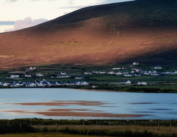
Achill Island is the largest of the Irish isles, and is situated off the west coast of Ireland. It has a population of 2,600. Achill is attached to the mainland by a bridge.
Best areas are
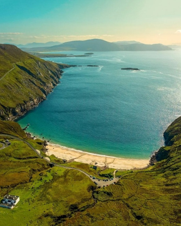
1, Croaghaun sea cliffs, third highest in Europe at 688 metres/2257ft, 2 breeding pairs of sokół wędrowny here best seen when young are fledging, July to September.
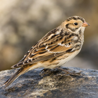
2, Keel village, lough and machair. Nesting waders, skowronek, pipits, passerines in village including mysikrólik and jemiołuszka. Dabbling ducks and łabędź krzykliwy in winter on lough.
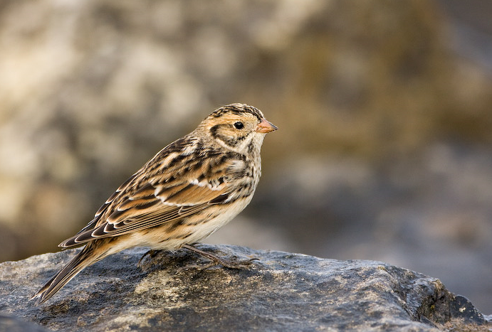
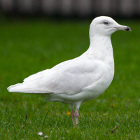
3, Keem Bay, possible killer whales, dolphins, porpoise, seals, otter, basking shark, mewa trójpalczasta, fulmar, wydrzyk wielki, autumn migrant waders, poświerka, wronczyk, mewa blada, mewa polarna and mewa delawarska.
4, Tonatanvally, or simply 'Valley' has machair, wetland and lakes and is good for rare waders.
5, Achill Head, sea headland for seawatch between September and March.
Rarities, especially transatlantic ones, turn up often, such as kacyk pólnocny, perkoz grubodzioby, brazówka, swiergotek bagienny, czerniczka, biegus płowy, biegus długoskrzydły and biegus arktyczny.
Szczegóły
Dostęp
From Dublin take the motorway NW towards Sligo, turn west through Strokestowe, Charlestown and Castlebar. Nearest airport is Connaught. There is a bridge to the island. Trains run from Dublin to Westport and bus 450 runs 6 times a day from there to Achill.


 ) aby wstawić nazwy ptaków w swoim języku ojczystym. Nazwy ptaków zostaną automatycznie przetłumaczone dla innych użytkowników!