

Opis
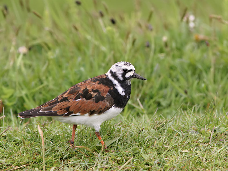
The current face of the Kelemen-szék shows large, temporary and shallow sodic lakes and sodic ridges with alkali grass. This area is also home to water and shore birds especially in the migration time.
Szczegóły
Dostęp
You can easily get there by car and park close to the sodic lake.
Teren i siedlisko
Tereny podmokłe , Łąka , Jezioro , BłotaWarunki
Płaski , Suchy , Pylisty , PiaszczystyTrasa dookoła
NieCzy luneta będzie przydatna ?
TakUdany sezon obserwacyjny
Wiosna , JesieńNajlepszy czas na wizytę
Wiosenne migracje , Jesienne migracjePoziom trudności szlaku pieszego
Średnio wymagający spacerDostępne
PieszoCzatownia/platforma obserwacyjna
TakDodatkowe informacje
Fülöpszállás, Avocet Study Trail, Length: 1300 m. This trail starts on the dirt road opposite the Kígyós Restaurant, located at km 42 or Route 52. You can park your car at the Kígyós Restaurant (see the map below) or at the trailhead, near the animal farm. GPS: N46°48’22.741” E19°09’50.593”
The Upper Kiskunság Lakes can be found in the Solt Plains, between Szabadszállás and Akasztó (3905 ha). The largest, formerly continuous soda lake system of the Danube-Tisza Interfluve was located here. Several of the lakes, such as the Fehér-szék, have become swampy, but the Zab-szék near Szabadszállás and the Kelemen-szék near Fülöpszállás have remained in their original state. The Avocet Study Trail ends in a bird hide, from where birds can be seen in every season while feeding on the grasslands and in the water of the shallow lakes. This small hide can be used by everyone for birdwatching and bird photography. Habitats along the shore of Lake Kelemen are managed by the water buffalos of the National Park by grazing and trampling. These animals have a crucial role in managing grasslands, maintaining swampy-saline habitats and preserving biodiversity. The trail is bordered by electric fences on both sides till the bird hide because of the buffalos. This may seem strange for visitors but, among freely roaming water buffalos, safety is of paramount importance.


 ) aby wstawić nazwy ptaków w swoim języku ojczystym. Nazwy ptaków zostaną automatycznie przetłumaczone dla innych użytkowników!