Opis
Lake Ismarida or Limni Mitrikou. The locals call it Limni Mitrikou or Mother Lake. The name Ismarida comes from Mount Ismaros due the short distance from it. It is located in the southern part of the prefecture and is of vital importance as it is protected by the international treaty Ramsar. This 2000-3000 acre lake is the biggest sweet water lake in Greece. Its deepest point is 1,5 meters.
The coastal wetland complex consists of the freshwater Lake Mitrikou, surrounded by extensive reedbeds (Phragmites), coastal lagoons and saltmarsh. The area is important for breeding, passage and wintering waterbirds, and breeding species associated with reedbeds. Species of global conservation concern that do not meet IBA criteria: bernikla rdzawoszyja (0-3 wintering individuals), sterniczka (wintering), bielik (wintering), orzeł cesarski (passage), pustułeczka (passage) and mewa sródziemnomorska LRcd. The site holds 20,000 waterbirds in winter, on a regular basis (including ohar 2,500; świstun 6,000; cyraneczka 3,500; krzyżówka 10,000; szablodziób 2,500; śmieszka 3,000).
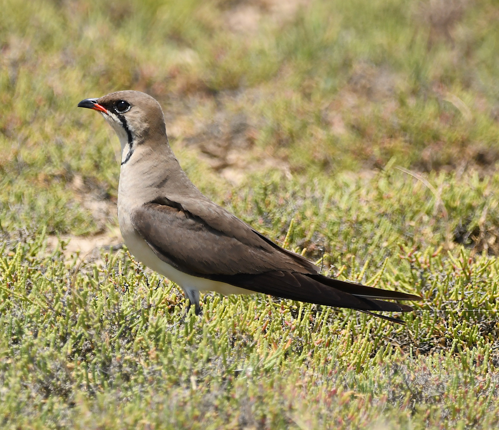
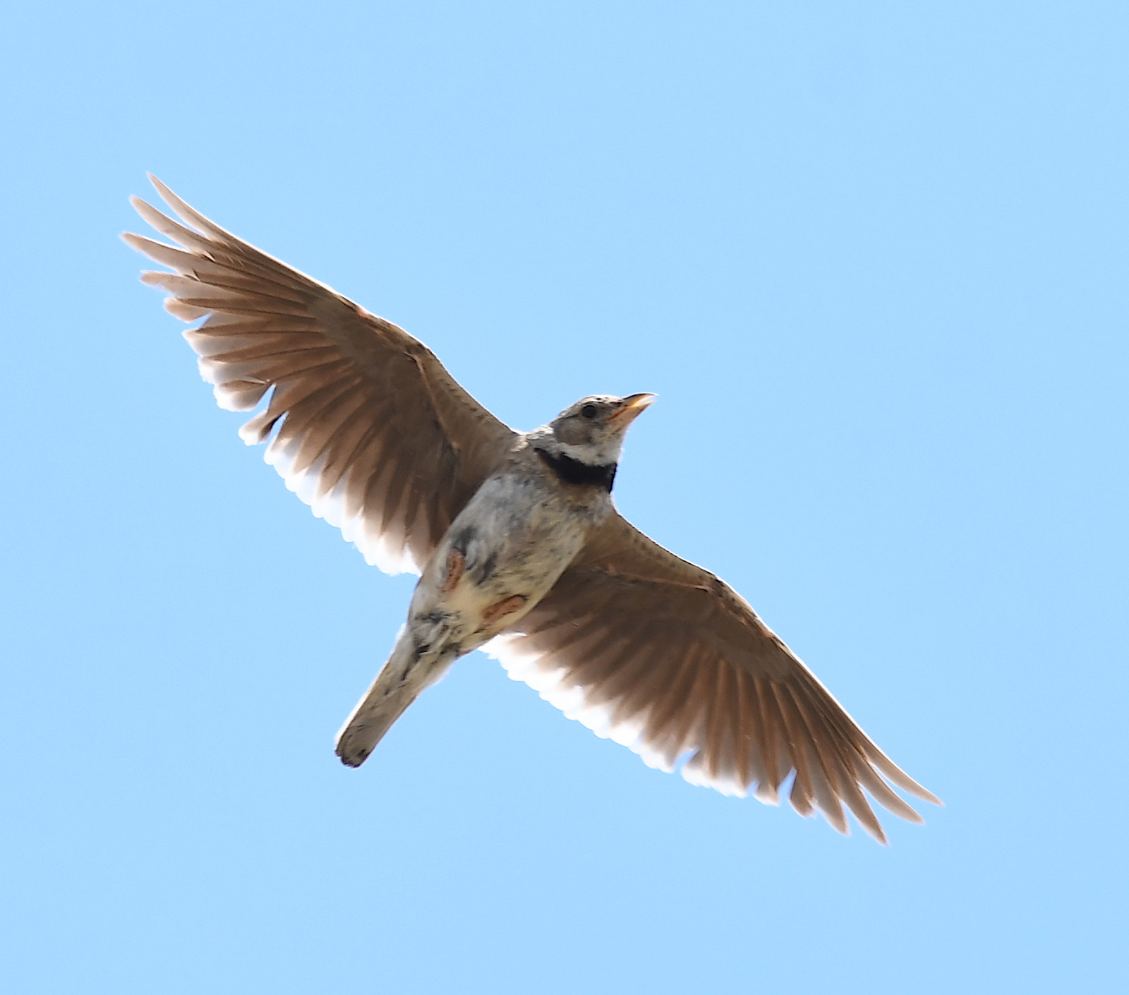
The area is known for annual occuring of strepet in winter, breeding of kalandra szara and żwirowiec łąkowy. In the village of Kalamokastro there is a large colony of pustułeczka , so take your time to visit that village.
Szczegóły
Dostęp
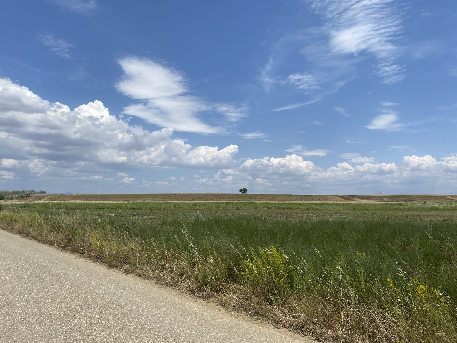
Lake Ismarida is located 15 km south of the village of Komotini. The provincial road Imeros-Sidirochori is the main road to get to the location. You can then follow every route you like. Click on the P in the map to get directions. Note - due to the extensive reedbeds the lake can't be seen from the road, so the observatory is a nice place to observe it.


 ) aby wstawić nazwy ptaków w swoim języku ojczystym. Nazwy ptaków zostaną automatycznie przetłumaczone dla innych użytkowników!