Opis
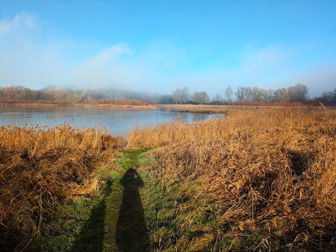
The Posthornteiche are two shallow ponds created by lignite mining. They reach depths of three to four meters. The larger pond to the west reaches a water surface of about 20 hectares, the smaller one one of 5 hectares. Birds are attracted to the large stands of reeds and siltation areas and of course to the open waters. The shore areas are mostly characterized by wet meadows. Today, the ponds serve as fishing waters. Access to the larger lake is only possible from the southeast corner, but it is possible to have a good view from there with binoculars, although a scope would be recommended. The area of the smaller ponds with extensive reed areas east of the road can be accessed via a circular trail, but you'll have to walk on the road for a bit (usually not too busy).
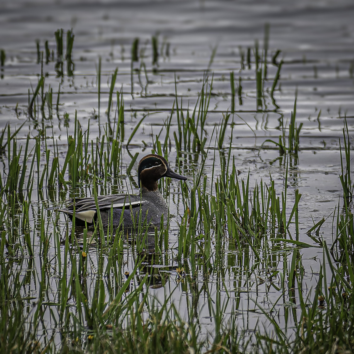
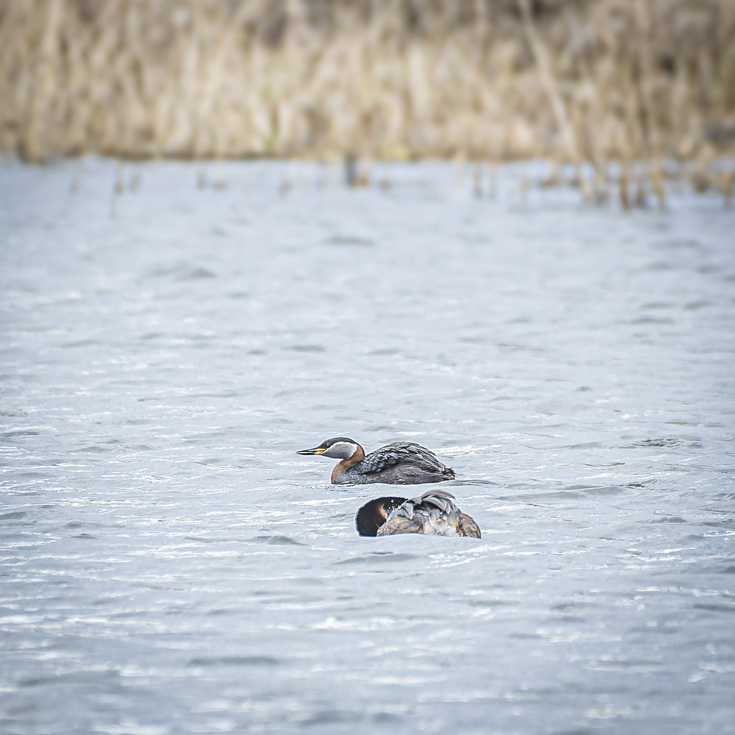
The larger pond is a good spot for ducks and geese especially from autumn until spring. In years with little rainfall (most of the time in the last decade) water retreats and mudflats are exposed attracting waders during migration. In spring kukułka , wilga (zwyczajna) and a lot of warbler species are singing in the area. The smaller pond to the east harbours extensive reed areas where trzciniak, trzcinniczek (zwyczajny), brzęczka, wodnik (zwyczajny) and błotniak stawowy can be found.
Szczegóły
Dostęp
The Posthornteiche are located just north of the city of Halle. Access to the water is possible via the Dessauer Straße. On the south bank of the big pond, several jetties of different sizes protrude into the water.


 ) aby wstawić nazwy ptaków w swoim języku ojczystym. Nazwy ptaków zostaną automatycznie przetłumaczone dla innych użytkowników!