Opis
The northern most biotope is the Speicherbecken at Sönke-Nissen-Koog Siel. A saltwater lake surrounded by wetlands and meadows.
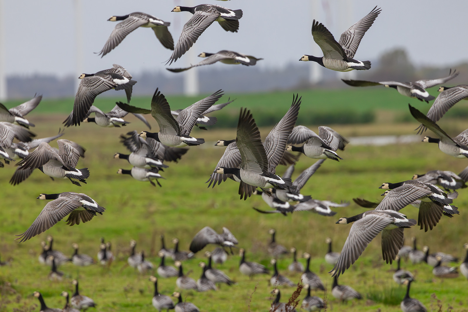
The Lüttmorsee is a similar but larger lake with two observation hides. The shrubs and meadows are nesting sites for different bird species.
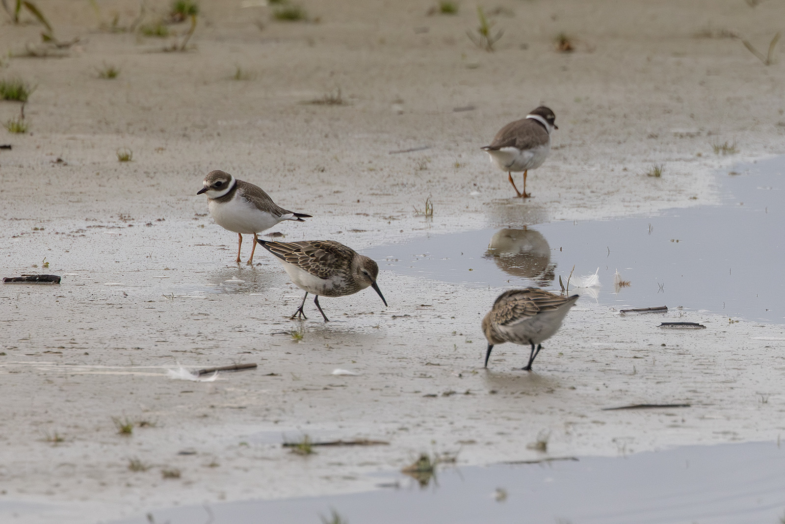
The salt-water-lagoon and Arlau-Speicherbecken south of Lüttmoordamm is a renaturated lagoon with artificially regulated tides. During lowtide it reveals large mudflats attracting many Wadden Sea birds. The edges consist of salt-meadows.
Holmer-See in the south east is also a small lake inside the succession area with little to no management.
The areas on the sea-side of the dike in front of Lüttmoor Siel and Holmer Siel are also always worth a look.
Szczegóły
Dostęp
The nature reserve is accessible by bike from three directions. Coming from north (Busstops in Bordelum or trainstation in Bredstedt ca. 10km) along the dike or through the Reußenköge and enter the area at Sönke-Nissen-Koog Siel. You can also enter the area a liitle more south via Lüttmoordamm coming from Cecilienkoog. The road Lüttmoordam is built for cars and has no designated bike lane, so a little caution is advised. The area is also accessible from south (Holmer Siel, the island Nordstrand) and you also cut it in the southeast driving over the car-dam from Schobüll to Nordstrand. By car you can only drive to Holmer Siel in the south (there is a car-parking) and to Lüttmoor Siel (there is also a car-parking)


 ) aby wstawić nazwy ptaków w swoim języku ojczystym. Nazwy ptaków zostaną automatycznie przetłumaczone dla innych użytkowników!