Opis
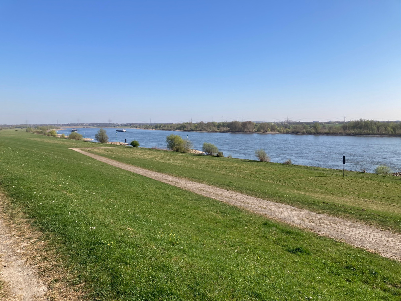
Naturschutzgebiet Hasenfeld and Rheinvorland is located between Eversael and Ossenberg. At the beginning you cross open cultural landscapes and meadows, where species such as myszołów or in winter gęś białoczelna are at home. Then you climb the dike and get an overview of the partially flooded meadows, and you immediately notice the singing skowronek. In winter it is teeming with gęś białoczelna and ges zbozowa.
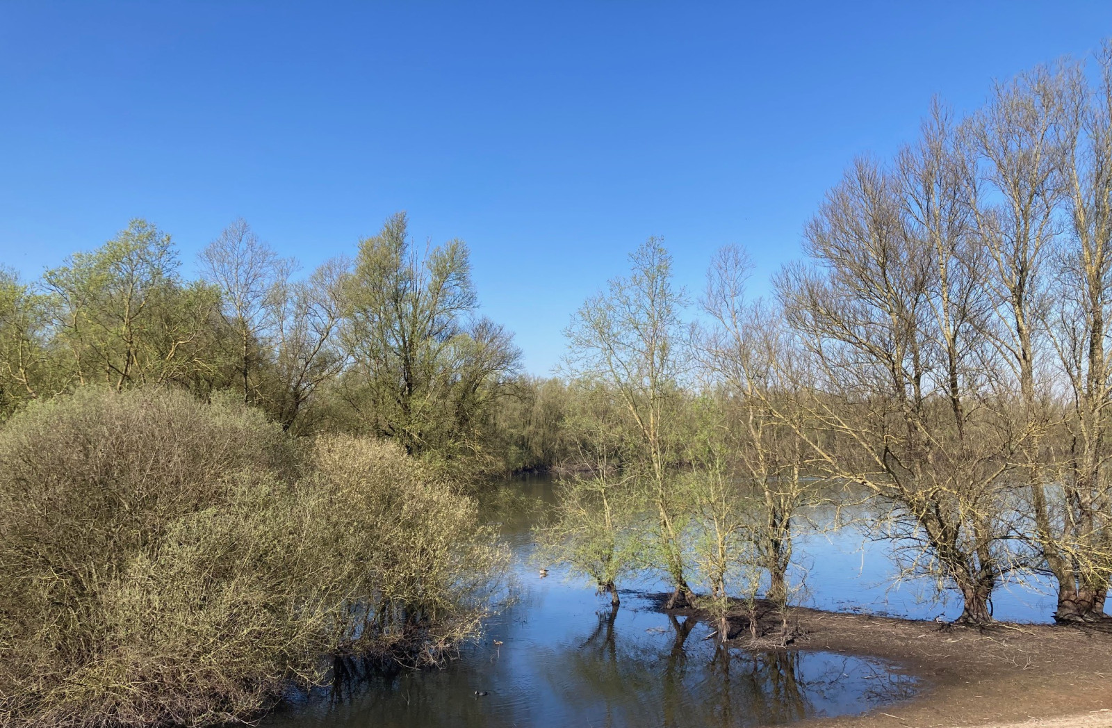
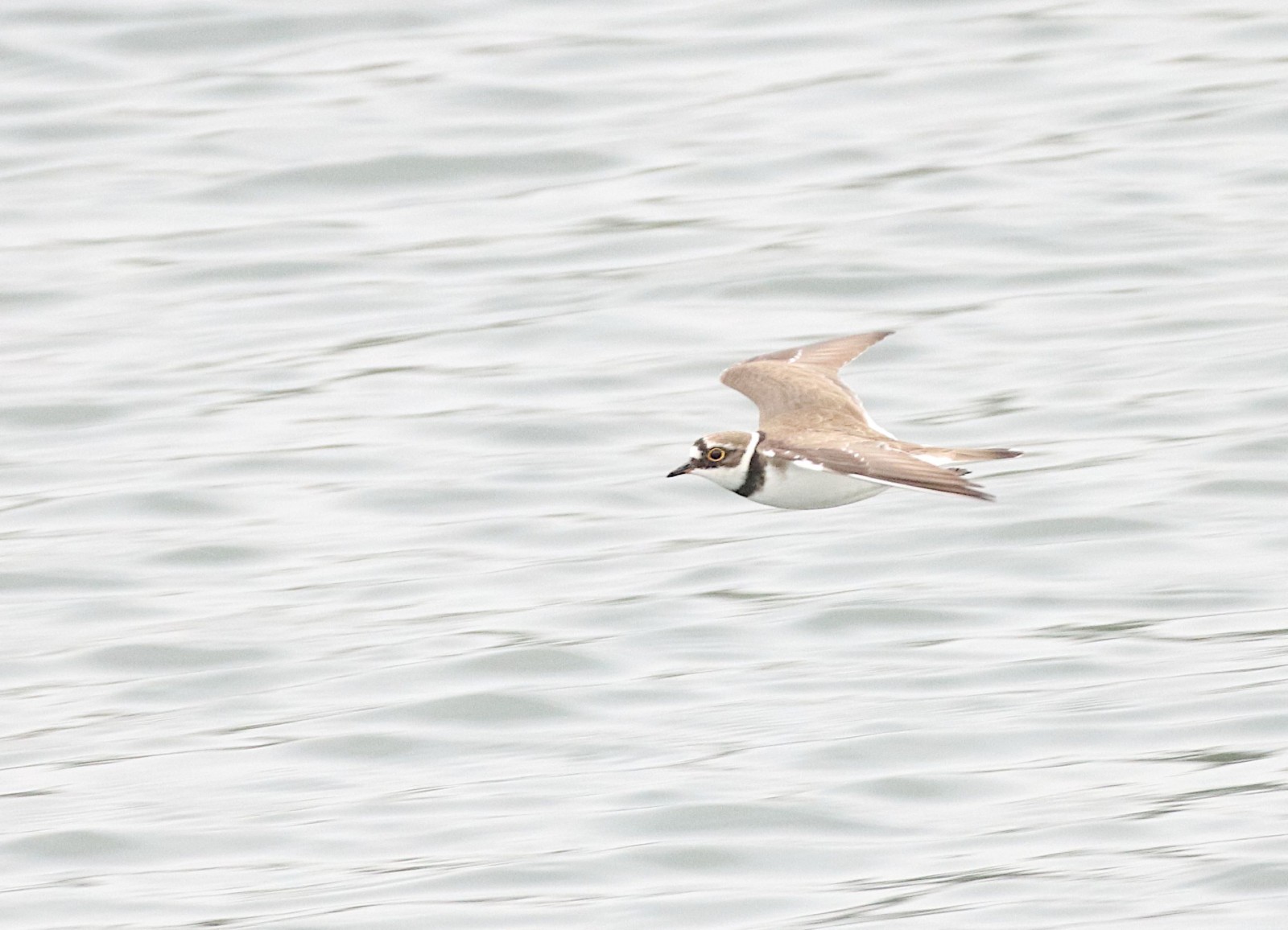
Then you come to the first lake, the water level of which is determined exclusively by precipitation. The migration time is definitely the most productive time here. Then you can, among other things see sieweczka rzeczna, kwokacz as well as rybołów. In winter there are species like bielaczek, głowienka or nurogęś.
The path continues through a landscape of wet meadow and floodplain, which is the busiest in summer, for example here you will find skowronek, świergotek łąkowy, pliszka żółta as well as bażant. Large swarms of świstun also stay here at migration time. Then you reach the flood lakes, here you can find species like czapla biała, kszyk, krwawodziób and rycyk.
On the other side of the dike begins a landscape of open space, isolated trees and bushes. Directly on the dike is a colony of czapla siwa, further inland you can find species such as gąsiorek, cierniówka, trznadel and samotnik. The way back leads through fields and meadows, which are not so productive in summer, but in winter you can find gęś tundrowa here. Alternatively, you can of course walk back along the dike.
Szczegóły
Dostęp
The area can either be reached via the A42 or A57, or alternatively with the Rhine ferry Orsoy via Rheinberger Straße. The parking lot is on the street "Drießen" under the first lake, opposite a bus stop. The area is best explored on foot or by bike, although it is also possible to travel by car, but you will not be able to reach a few points. The circular route as shown on the map is about 11 km long.
Teren i siedlisko
Las , Tereny podmokłe , Błota , Łąka , Rzadkie drzewa i krzewy , Rolnictwo/uprawyWarunki
Płaski , Otwarty krajobraz , Możliwy wysoki poziom wodyTrasa dookoła
TakCzy luneta będzie przydatna ?
Może być przydatnaUdany sezon obserwacyjny
Przez cały rokNajlepszy czas na wizytę
Lato , Wiosenne migracje , Jesienne migracjeTrasa
Szeroka ścieżka , Droga utwardzonaPoziom trudności szlaku pieszego
ŁatwyDostępne
Pieszo , Rower , SamochódCzatownia/platforma obserwacyjna
NieDodatkowe informacje
Rare species that have been seen in the area are flaming różowy, dzierzba rudogłowa, ibis czczony, warzęcha and szablodziób.


 ) aby wstawić nazwy ptaków w swoim języku ojczystym. Nazwy ptaków zostaną automatycznie przetłumaczone dla innych użytkowników!