Opis
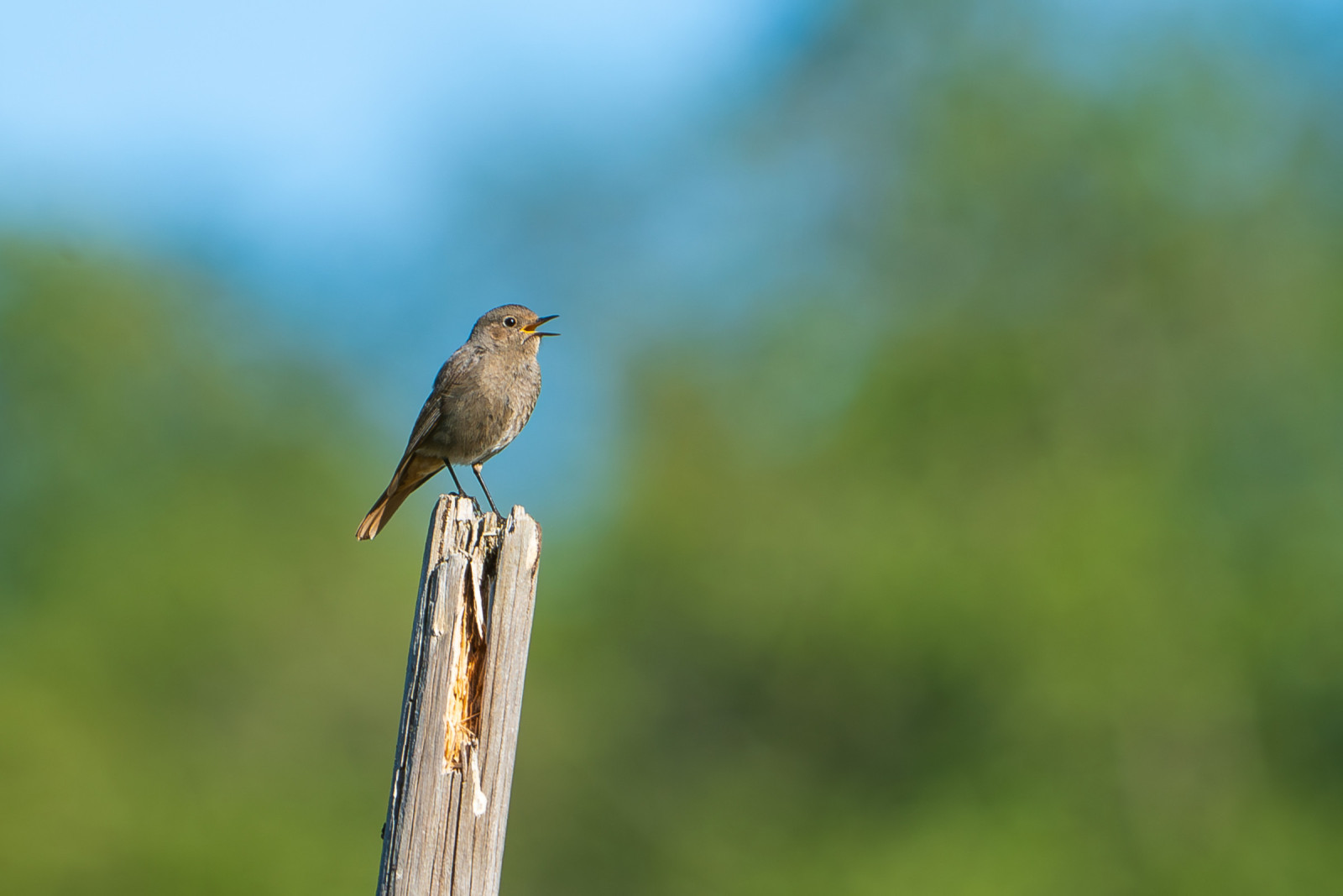
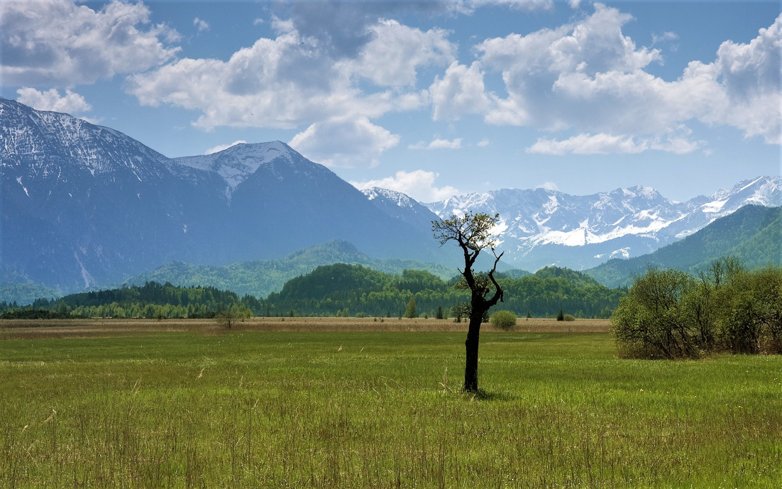
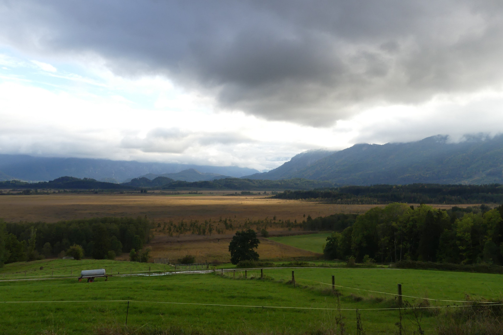
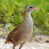
The Murnauer Moos is a flat and open moorland and the largest area of natural wetland in cerntral Europe. Moors, wet meadows and forest form a unique mosaic. The Murnauer Moos, south of Murnau is a refuge for many birds and threatened species like kulik wielki and derkacz. There is a nice twelve kilometer long, marked circular hiking trail (see the map below).
Szczegóły
Dostęp
Park at St George's Chappel, Ramsbach. From there you can make a beautiful 12 km walk through the moors and pass the Bohlenweg (see the map). Or you can only walk the 4 km 'Bohlenweg'. To do that at the junction of the Moosrundweg in Murnau / Westried you will reach the Bohlenweg after about one kilometer. On wooden planks you cross the natural moor landscape with heather and sparse birch and pine stands and enjoy a wonderful panoramic view of the surrounding mountains.
Access by public transport: The inn in Ramsach, where the circular route to the Murnauer Moos begins, can be reached on foot from Murnau train station in about 20 minutes. Trains from Munich, Weilheim, Garmisch-Partenkirchen and Oberammergau stop there every hour. On the way back you can get on the train in Grafenaschau if you don't want to walk back to Ramsach.
Teren i siedlisko
Tereny podmokłe , Rzadkie drzewa i krzewy , WrzosowiskoWarunki
Płaski , Otwarty krajobrazTrasa dookoła
TakCzy luneta będzie przydatna ?
TakUdany sezon obserwacyjny
Przez cały rokNajlepszy czas na wizytę
Wiosenne migracje , Jesienne migracjeTrasa
Droga utwardzonaPoziom trudności szlaku pieszego
ŁatwyDostępne
Pieszo , Rower , Wózek inwalidzkiCzatownia/platforma obserwacyjna
NieDodatkowe informacje
The meadows in the Murnauer Moos are an important retreat for meadow birds. 1,430 hectares of meadow area in the Murnauer Moos are currently being managed without fertilization. Most of the meadows are mowed very late, from September 1st, when the meadow birds have long raised their young and important fat reserves have been created for bird migration.


 ) aby wstawić nazwy ptaków w swoim języku ojczystym. Nazwy ptaków zostaną automatycznie przetłumaczone dla innych użytkowników!