
Opis
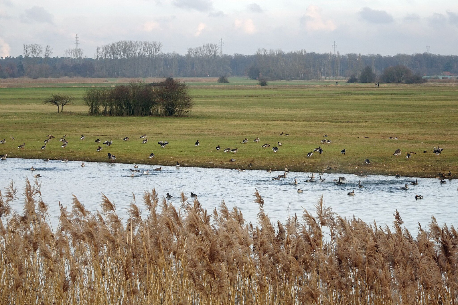
The Hergershäuser Wiesen are a floodplain area of approximately 400 hectares and characterized by many different habitats; wet, dry and sandy. Large areas are irrigated with a wind pumping station and several temporary water-retaining ponds and extensive wet meadows are created. NABU Münster (Hesse) has been committed to protecting and caring for these valuable areas for decades and makes the area accessible through a marked circular trail and guided hikes.
Szczegóły
Dostęp
Hergershäuser Wiesen is located between Münster, Altheim and Hergershausen. It is easy to explore the area from these places. Press a P in the map for directions to a parking spot. In addition, one of the trails starts from Altheim train station. If you walk all the trails that are shown on the map it is a distance of 11 km, but it is of course easy to make the walk shorter.


 ) aby wstawić nazwy ptaków w swoim języku ojczystym. Nazwy ptaków zostaną automatycznie przetłumaczone dla innych użytkowników!