
Opis
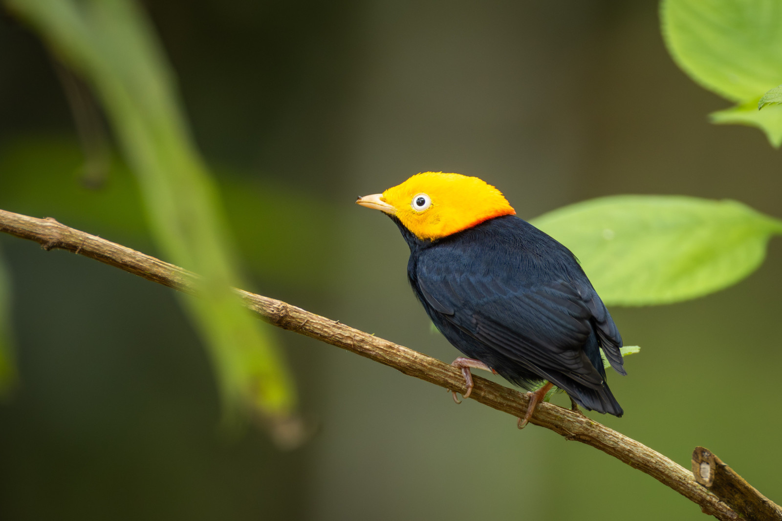
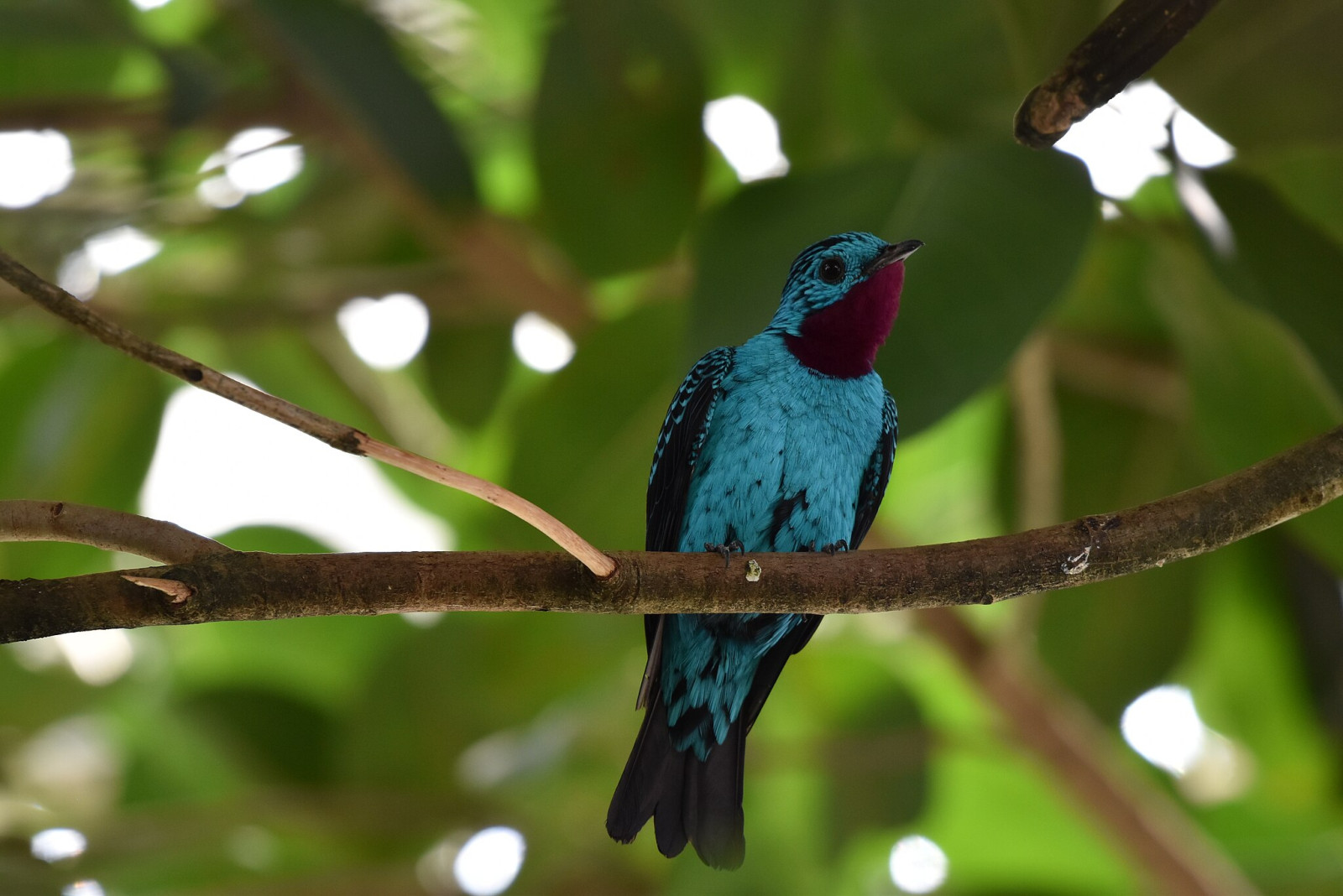
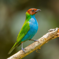
Piste Armontabo - Piste Saut Maripa is a fairly long hike in the undergrowth, which allows you to observe the bird species associated with this environment as well as certain species that are only found in the east of the department. Among the birds you can encounter are Grey-fronted Dove, Common Pauraque, Foothill Screech-Owl, Crested Owl, Ruby-topaz Hummingbird, Blue-chinned Sapphire, Guianan Trogon, Amazon Kingfisher, Paradise Jacamar, Black-spotted Barbet, Guianan Toucanet, Green Aracari, Bat Falcon, Dusky Parrot, Blue-headed Parrot, Painted Parakeet, Brown-bellied Stipplethroat, Golden-headed Manakin, Spangled Cotinga, Pompadour Cotinga, Violaceous Euphonia, Golden-sided Euphonia, Red-rumped Cacique, Masked Yellowthroat, Yellow-green Grosbeak, Black-faced Dacnis, Blue Dacnis, Red-legged Honeycreeper, Green Honeycreeper, Yellow-backed Tanager, Swallow-tailed Kite.
________________________
Français: Les deux pistes sont des layons de plusieurs kilométres dans la forêt de l'Est Guyanais à la frontière avec le Brésil. La piste du saut Maripa est une assez longue randonnée en sous bois, qui permet de contacter les espèces associés à ce milieu ainsi que certaines espèces qui ne se rencontres que dans l'est du département.
Szczegóły
Dostęp
The trail is accessible from the northern exit of Saint-Georges. The path to the Degrad Maripa is about 19 km. It is possible to do it with a good car or on foot.
________________________
Français: La piste du saut maripa est accessible depuis la sortie nord de Saint-Georges, Le chemin jusqu'au degrad est d'environ 19 km. il est possible de la faire avec une bonne voiture ou à pied.


 ) aby wstawić nazwy ptaków w swoim języku ojczystym. Nazwy ptaków zostaną automatycznie przetłumaczone dla innych użytkowników!