Opis
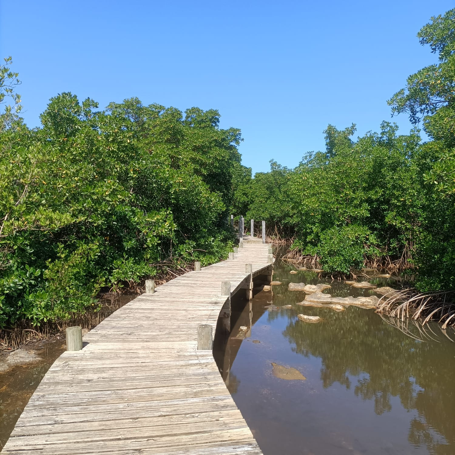
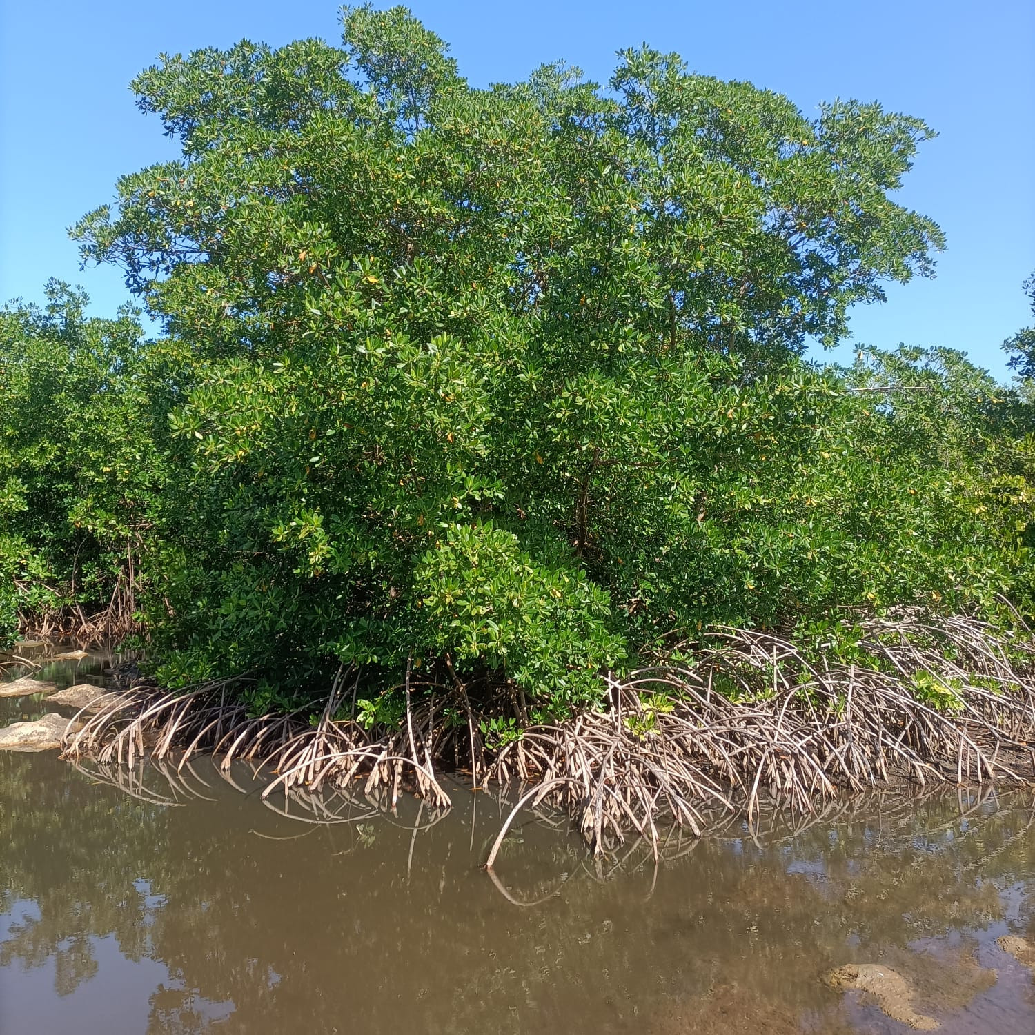
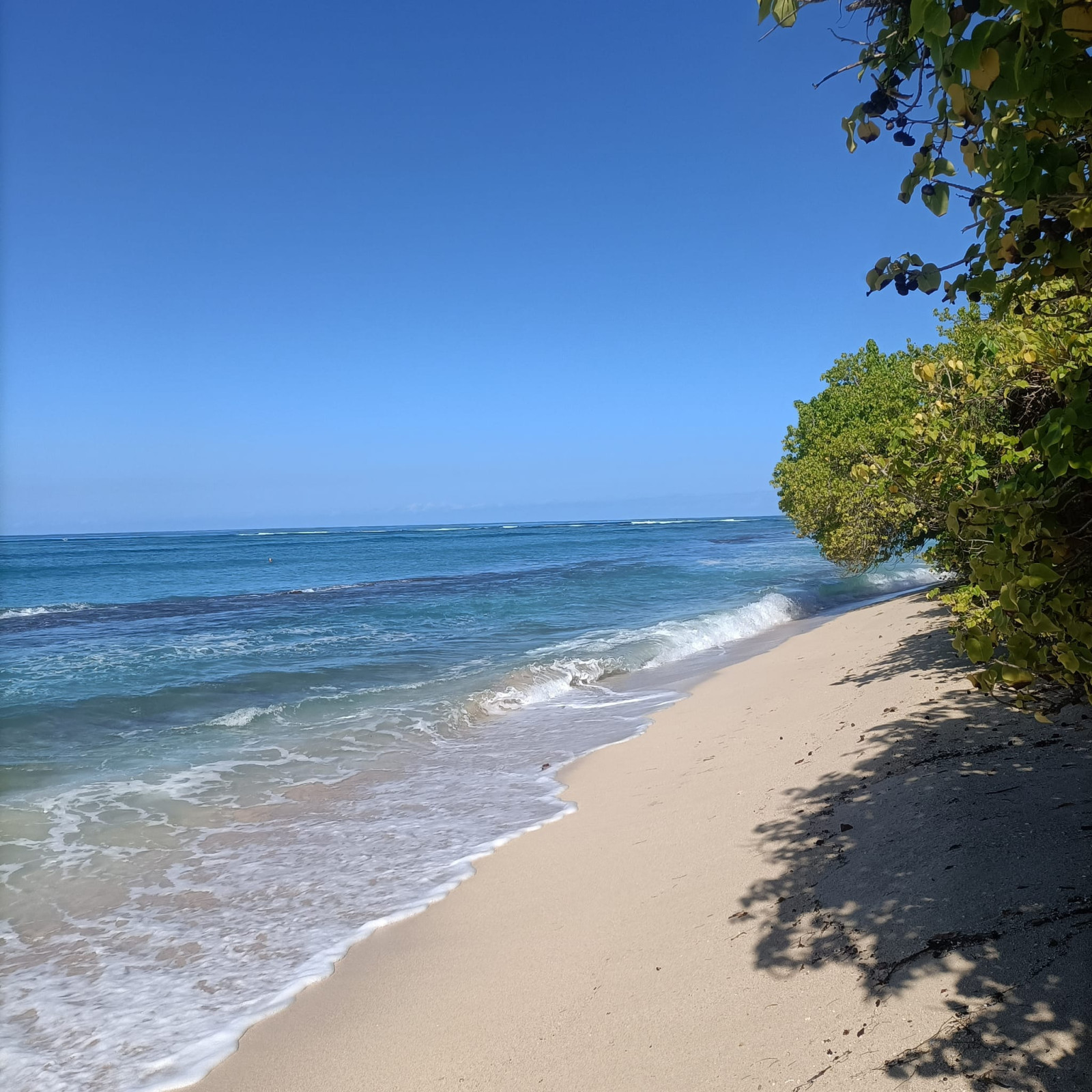
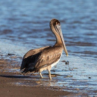
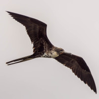
Sentier Découverte de Port-Louis is made up of various habitats with an alternation between seaside, dry forests and large wetlands with areas of salt flats, mangroves and swamp forest where you can see migrating warblers.
_________________________
Français: Le site est un court sentier aménagé traversant une zone humide d'intérêt pour l'avifaune. Le parcours se compose de divers habitats particulièrement favorable à l'avifaune avec une alternance entre bord de mer, forêts sèches et grandes zones humides avec des zones de salines, de la mangrove et une forêt marécageuse ou l'on peut apercevoir des parulines en migration.
Szczegóły
Dostęp
You can get to the area from the Port-Louis cemetery parking lot. Click on the P in the map for directions to the parking. A sign indicates the start of the trail. You can only explore the trail on foot. Although raised pontoons allow you to cross the wettest areas (mangrove), some passages along the edge of the salt flats can be muddy. The trail is short but it can be extended north towards Anse Bertrand.
_________________________
Français: On peut s'y rendre depuis le parking du cimetière de Port-Louis. Un panneau indique le départ du sentier découverte. Le sentier se parcours à pieds. Bien que des pontons surélevés permettent de traverser les zones les plus humides (mangrove), certains passages en bord de saline peuvent être boueux. Le sentier est court mais il peut être prolonger vers le nord en direction d'Anse Bertrand.
 Costa Rica.JPG)

 ) aby wstawić nazwy ptaków w swoim języku ojczystym. Nazwy ptaków zostaną automatycznie przetłumaczone dla innych użytkowników!