Opis
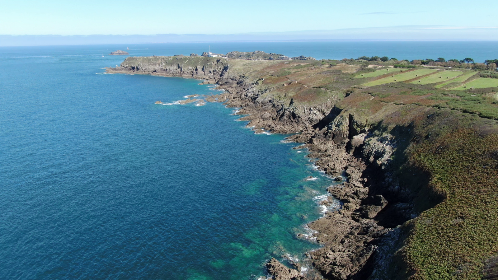
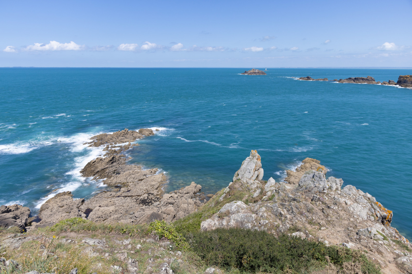
The Pointe du Grouin is the most advanced rocky promontory of Ille et Vilaine. This wild headland reaches 40 meters above the sea and offers breathtaking views. From here, you can see the Normandy coastline and the Bay of Mont-Saint-Michel. Looking towards the horizon, you can see Mont-Saint-Michel, 25 kilometers away, and the Chausey islands. Much closer is l’île des Landes. This elongated island is a biological reserve that hosts the largest colony of seabirds in Brittany. Landes Island is located immediately to the east of Pointe du Grouin.
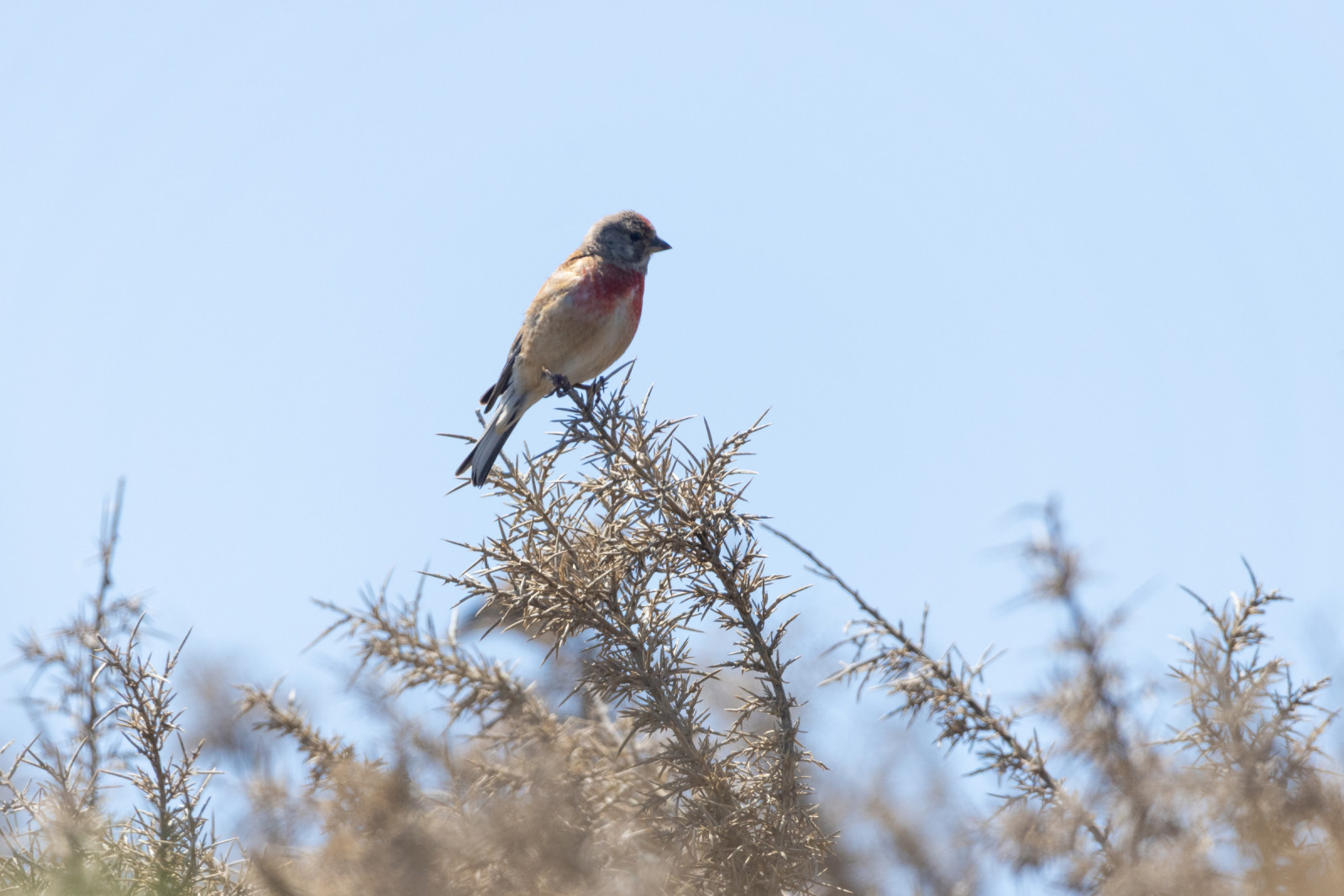
Among the birds you can observe are głuptak, kormoran czubaty, mewa siodłata, sokół wędrowny, ostrygojad, ohar, świergotek nadmorski, makolągwa and kląskawka.
_________________________
Français: Promontoire rocheux le plus avancé d’Ille et Vilaine, on pourra y observer à gauche, le Cap Fréhel, et à droite, Granville et la Baie du Mont-Saint-Michel. Le regard dressé vers l’horizon, on distingue alors deux merveilles : à 25 kilomètres le Mont-Saint-Michel et plus au large les îles Chausey.
Szczegóły
Dostęp
Pointe du Grouin is located in Ille-et-Vilaine, the northernmost point near Cancale. There are two car parks close to the viewpoint. Click on the P in the map for directions. From the car park follow the path that winds its way through the low vegetation before gradually reaching the rugged rocks and high cliffs.
_________________________
Français: La Pointe du Grouin est située en Ille-et-Vilaine. Il y a deux parkings à proximité du point de vue. Cliquez sur le P sur la carte pour accéder au parking.


 ) aby wstawić nazwy ptaków w swoim języku ojczystym. Nazwy ptaków zostaną automatycznie przetłumaczone dla innych użytkowników!