

Opis
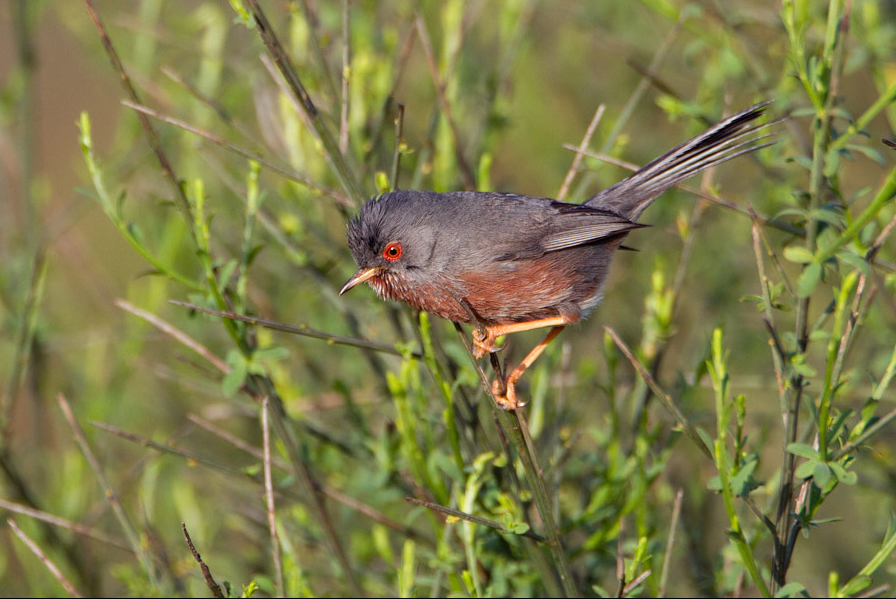
Le Plateau de Coquibus is a sandstone plateau with forests and open moors that alternate. Nice area for walking and very good area to spot lelek. Other birds in the area are kukułka, Trzmielojad, dzięcioł duży, dzięcioł średni, czubatka, świstunka górska, pokrzewka kasztanowata, zniczek and świergotek drzewny.
_________________________
Français: Plateau gréseaux avanc lande de bruyère. Paysage de landes ou la bruyère est reine, se partageant parfois l'espace avec la callune, la platière de Coquibus est un biotope à part.
Szczegóły
Dostęp
A6 motorway, exit 13, in Milly la Forêt take the rue de la Plaine, cross the ring road, take the dirt road towards the forest. Click on the P in the map to get directions to a parking. The circular walk indicated on the map is 12 km long, with shortcuts to make the walk 3 or 6 km long.
_________________________
Français: Autoroute A6, sortie 13, à Milly la Forêt prendre la rue de la Plaine, traverser la rocade, prendre le chemin de terre vers la forêt. Chem. de Coquibus. Cliquez sur le P sur la carte pour obtenir l'itinéraire vers un parking. La promenade circulaire indiquée sur la carte est longue de 12 km, avec des raccourcis pour faire la balade de 3 ou 6 km.


 ) aby wstawić nazwy ptaków w swoim języku ojczystym. Nazwy ptaków zostaną automatycznie przetłumaczone dla innych użytkowników!