.jpg)
Opis
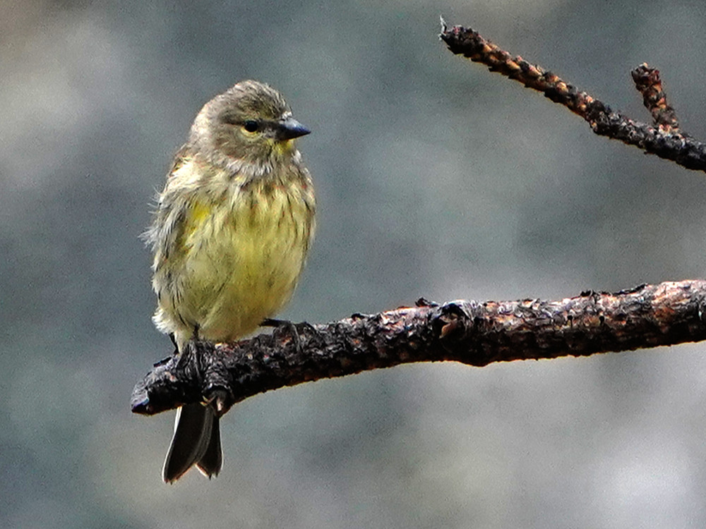
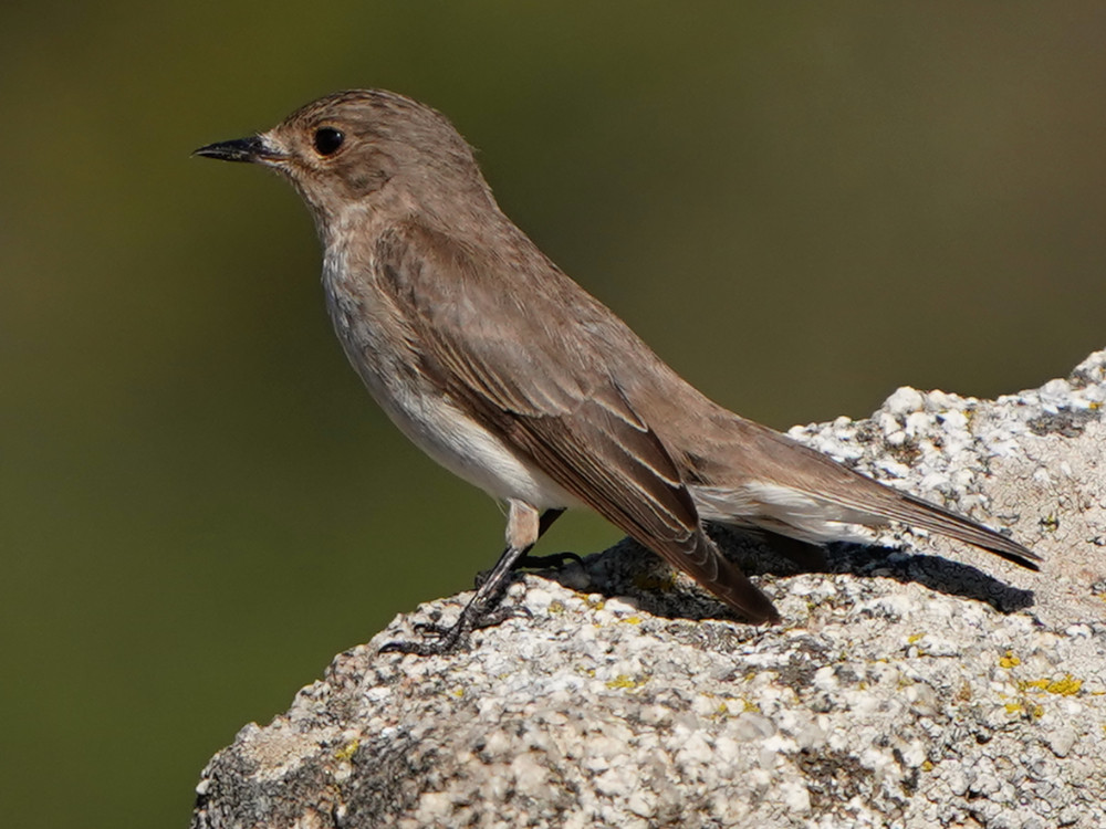
The asphalt road ends at the parking lot past the village of Lozzi. The immediate vicinity of this place is good for osetnik korsykanski, kulczyk, Muchołówka śródziemnomorska, gołąb miejski, cierlik, dzwoniec and kania ruda. At the barrier next to the campsite, a dirt road starts into the mountains and there the walk (oneway trail) starts towards the GR20 refuge de l'Erco. The route is good for pokrzewka czarniawa, lerka, świergotek polny, gąsiorek, modrak, myszołów, orzeł przedni and orłosęp.
This return walk of 8 km to the refuge and 8 km back is a full-day program, but you can turn around whenever you want. The walk can be shortened by taking the pedestrian path, but you have to climb a lot with hands and feet and too much of your attention goes to the difficult path and not to the surroundings. So it is best to follow the dirt road itself.
Szczegóły
Dostęp
Click on the P in the map for directions to the parking area or for coordinates. This place is easy to reach by car on asphalt. Where the asphalt ends there is a barrier at the beginning of a dirt road and there the (8 km one way) walk into the mountains starts (mountain bike is also possible). The end point of the walk is GR20-refuge de l'Erco. But if you don't have a day to spare, you can turn around earlier on this one-way trail. There is a shorter route (hiking trail) but it is very tough (steep climbs) and most of your attention goes to your path, not to your surroundings. For relaxed birding it is best to stay on a sandy road.
Teren i siedlisko
Płaskowyż , Rzadkie drzewa i krzewy , GóryWarunki
Górzysty , Skalisty , Otwarty krajobrazTrasa dookoła
NieCzy luneta będzie przydatna ?
NieUdany sezon obserwacyjny
Wiosna , LatoNajlepszy czas na wizytę
WiosnaTrasa
Droga nieutwardzonaPoziom trudności szlaku pieszego
ŁatwyDostępne
Pieszo , RowerCzatownia/platforma obserwacyjna
NieDodatkowe informacje
Photo village of Lozzi and Monte Cinto by Maxim Massalitin, CC BY-SA 2.0 https://creativecommons.org/licenses/by-sa/2.0, via Wikimedia Commons.


 ) aby wstawić nazwy ptaków w swoim języku ojczystym. Nazwy ptaków zostaną automatycznie przetłumaczone dla innych użytkowników!