

Opis
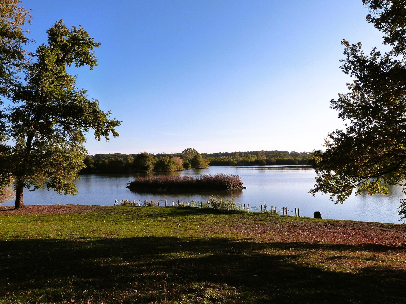
Lac de Bannac covers an area of approximately 22 hectares and a 4 km circular trail runs around the lake. Lac de Bannac is one of the rare wetland areas in the region, making it a significant spot for birds. Birds that can be observed all year round are dzięcioł średni and czapla siwa. In spring you can expect czapla purpurowa, rybołów, szczudłak, brodziec piskliwy, samotnik, rybitwa czarna, rybitwa białowąsa and kropiatka. In winter czapla biała, kszyk and different species of ducks.
_________________________
Français: Observez la faune sauvage à travers cette balade familiale autour du lac de Bannac. Espèces observées: Toute l’année : Pic mar, Héron cendré. Au printemps : Héron pourpré, Balbuzard pêcheur, Echasse blanche, Chevalier guignette, Chevalier sylvain, Chevalier culblanc, Guifette noire, Guifette moustac, Marouette ponctuée. En hiver : Grande Aigrette, Bécassine des marais, canards de surface.
Szczegóły
Dostęp
Lac de Bannac is located in the commune of Martiel, in the Aveyron department. The lake is situated a few kilometers west of Villefranche-de-Rouergue. On the D911 departmental road between Villefranche de Rouergue and Cahors, a little after Marroule, 14 km from Villefranche, take the road on the left towards the small village of Loupiac, which you leave to head towards Mas de Benoy. At the exit of Loupiac, on the right, leave the car (a sign indicates the reserve) and continue on foot along a path that leads to an observatory.
_________________________
Français: Sur la route départementale D 911 entre Villefranche de Rouergue et Cahors, un peu après Marroule, à 14 Km en venant de Villefranche, prendre à gauche la route en direction du petit village de Loupiac que l’on quitte pour se diriger vers le Mas de Benoy. A la sortie de Loupiac, à droite, abandonner la voiture, (un panneau indique la réserve) et poursuivre à pieds par un sentier qui conduit à un observatoire


 ) aby wstawić nazwy ptaków w swoim języku ojczystym. Nazwy ptaków zostaną automatycznie przetłumaczone dla innych użytkowników!