
Opis
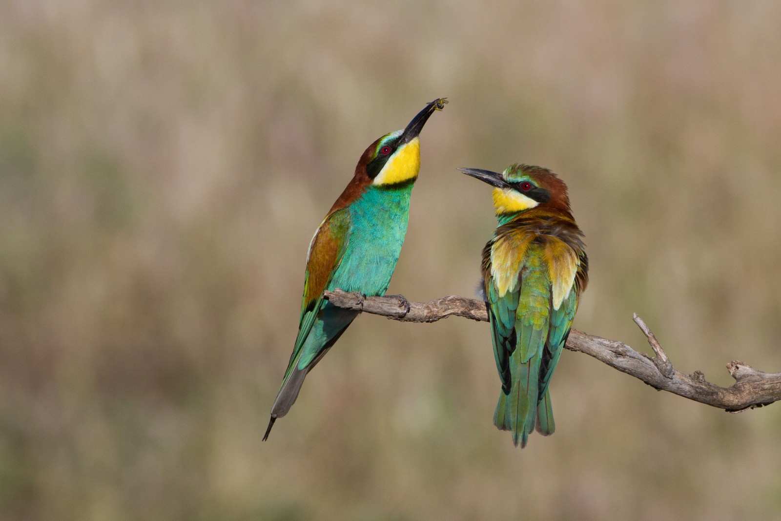
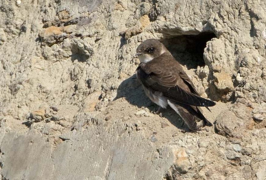
Falaise Malmouche (the cliffs of Malmouche) are the work of the wild river Allier. Years of erosion on a hill made of limestone have formed a 15 meter high cliff. It is the highest in the entire Val d'Allier between Brioude and the confluence with the Loire. The steep cliffs make it a protected habitat for birds that nest in this place. There are some 200 nests of brzegówka. But also zimorodek nest here and several dozen żołna. Because you can walk along the upper side of the cliff you have a chance to see the birds from above. A great way to observe the żołna colony without disturbance. Other birds you can see around the cliffs and along the river are ślepowron, czapla siwa, kania czarna, kapturka and dzięcioł duży.
_________________________
Français: Falaise avec zone de randonnée au dessus (idéale pour voir les guêpiers qui se posent en hauteur) et zone de plage en dessous. Ses 15 m de haut en font un habitat protégé pour des oiseaux qui nichent à cet endroit. Ce sont quelques 200 nids d'hirondelles de rivage installés sur la paroi, des martins pêcheurs, plusieurs dizaines de guêpiers d'Europe viennent en mai pour passer l'été et repartir vers l'Afrique pour l'hiver et beaucoup d'autres espèces sont visibles aux alentours (cormorans, hérons, aigrettes)
Szczegóły
Dostęp
Start from the village of Cournon d'Auvergne and go up towards the cliff by following the yellow hiking markings. The walk is about 3 km one way from Cournon d'Auvergne.
_________________________
Français: Partir de la zone municipale de cournon d'auvergne et remonter vers la falaise en suivant les balisages de randonnée (jaune).


 ) aby wstawić nazwy ptaków w swoim języku ojczystym. Nazwy ptaków zostaną automatycznie przetłumaczone dla innych użytkowników!