Opis
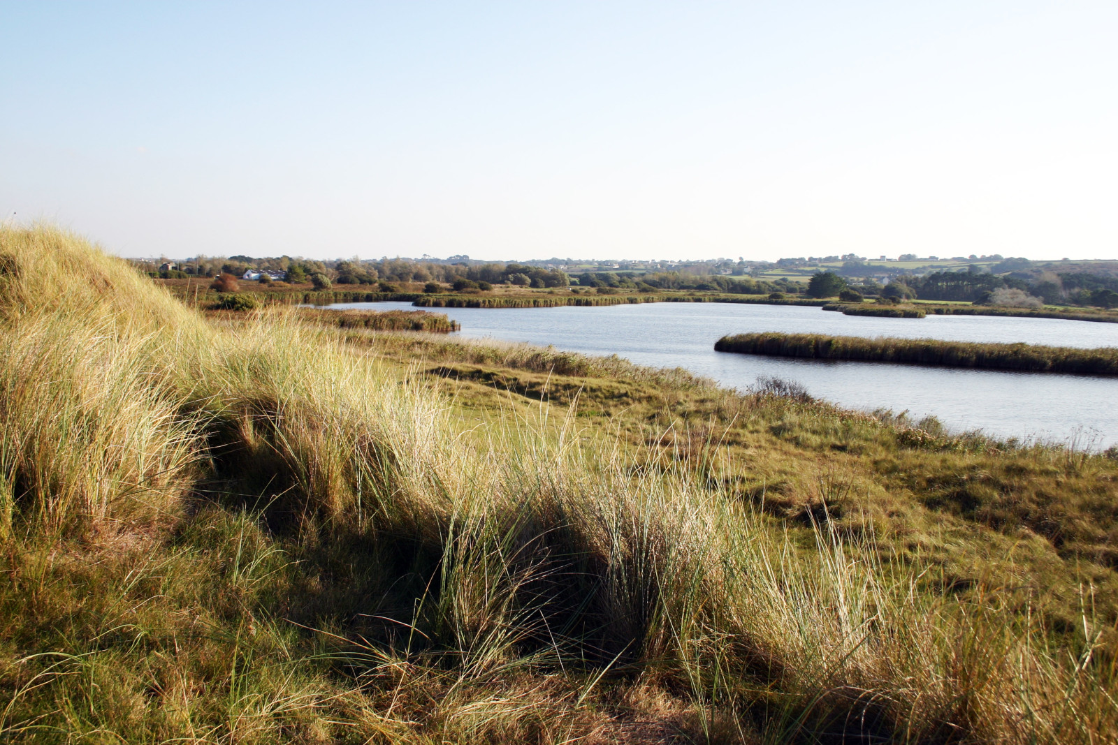
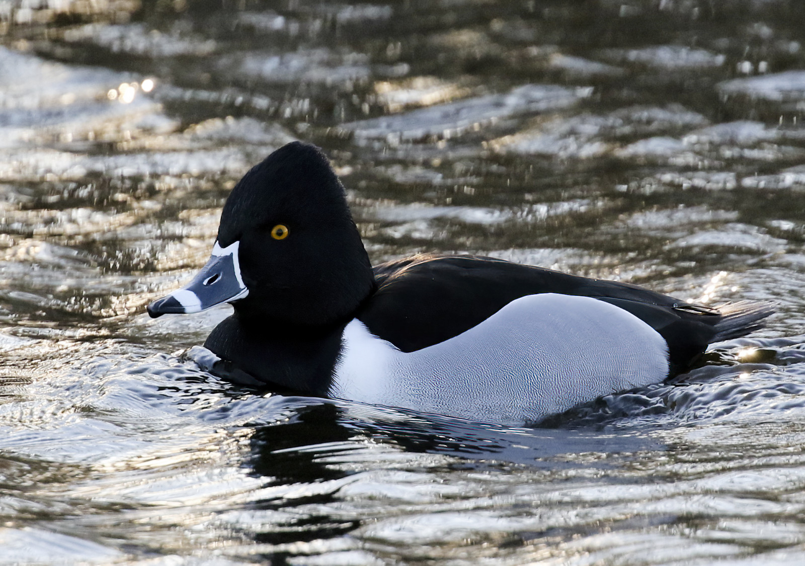
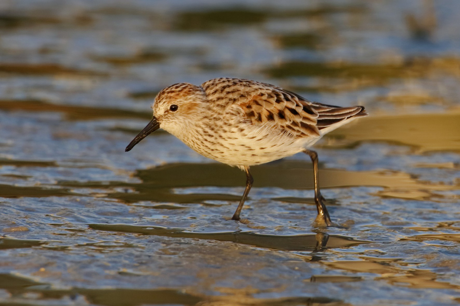
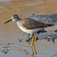
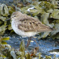
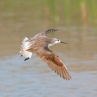
Etang, Marais et Anse du Curnic has a geographical situation which gives it advantages: it thus welcomes a number of waders and ducks, in particular vagrant American ducks such as czerniczka and ogorzałka mała.
_________________________
Français: Etang séparé de la mer par une digue, l'Etang de Curnic est un havre pour les canards qui viennent s'y nourrir et s'y reposer. Cet étang présente une situation géographique qui lui confère des avantages : elle accueille ainsi nombre de limicoles et de canards notamment des canards américains égarés tels que le czerniczka et le ogorzałka mała.
Szczegóły
Dostęp
Access by road that runs along the pond. You can park at the Rue de la port parking. Click on the P in the map for directions. The circular walk around Etang, Marais et Anse du Curnic that is indicated on the map is about 3,5 km.
_________________________
Français: Accès par la route qui longe l'étang. Vous pouvez vous garer sur le parking de la rue de la Port. Cliquez sur le P dans la carte pour les directions. La route de marche circulaire autour d'Etang, Marais et anse du Curnic qui est indiquée sur la carte est d'environ 3,5 km.
Teren i siedlisko
Tereny podmokłe , JezioroWarunki
Płaski , Brak cienia , Otwarty krajobrazTrasa dookoła
TakCzy luneta będzie przydatna ?
Może być przydatnaUdany sezon obserwacyjny
Przez cały rokNajlepszy czas na wizytę
Wiosenne migracje , Jesienne migracje , ZimaTrasa
Droga utwardzonaPoziom trudności szlaku pieszego
Średnio wymagający spacerDostępne
Pieszo , Rower , SamochódCzatownia/platforma obserwacyjna
NieDodatkowe informacje
Photo Etang de Curnic by Larvor, CC BY-SA 3.0, https://creativecommons.org/licenses/by-sa/3.0, via Wikimedia Commons.

 ) aby wstawić nazwy ptaków w swoim języku ojczystym. Nazwy ptaków zostaną automatycznie przetłumaczone dla innych użytkowników!