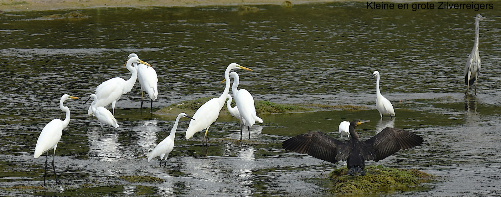

Opis
Located northwest of Tours in the communes of Fondettes, Saint-Cyr-sur-Loire and La Membrolle-sur-Choisille, the Val de Choisille site is traversed by the Choisille River and its canals. This natural area is home to a great biodiversity. A few steps are enough to pass from the marshes and wet meadows to the woodlands and then to the steep hillsides that dominate the valley. This mosaic of habitats hosts a diverse flora and fauna throughout the year.
_________________________
Français: Situé au nord-ouest de Tours sur les communes de Fondettes, Saint-Cyr-sur-Loire et La Membrolle-sur-Choisille, le site du Val de Choisille est parcouru par la rivière de la Choisille et ses biefs (canaux). Cette zone naturelle abrite une grande biodiversité. Quelques pas suffisent pour passer des marais et prairies humides aux boisements puis aux coteaux escarpés qui dominent la vallée. Cette mosaïque d'habitats accueille une flore et une faune diversifiées tout au long de l'année.
Szczegóły
Dostęp
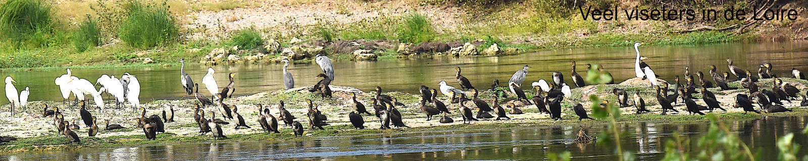
A walking trail of about ten kilometers has been developed. It will take you through the Choisille valley and its many ponds and streams that flow to the Loire. Click on a P in the map to get directions to a parking place.
_________________________
Français: Pour profiter au mieux de ces richesses naturelles et patrimoniales, un sentier de promenade d’une dizaine de kilomètres a été aménagé. Il vous fera traverser la Choisille et ses nombreux biefs qui se jettent dans la Loire


 ) aby wstawić nazwy ptaków w swoim języku ojczystym. Nazwy ptaków zostaną automatycznie przetłumaczone dla innych użytkowników!