Opis
For most activities in the Galapagos islands, you must book a tour with an accredited guide, but the Camino de las Tortugas is open to all visitors during the day, for free (although guided tours are also offered). It's best to walk this trail very early in the morning, as soon as the sun rises, because most birds in the region become far less active during the hottest times of the day.
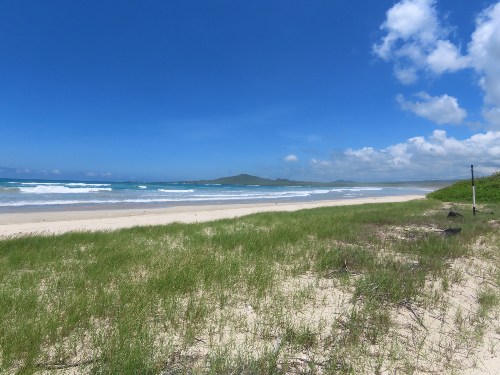
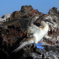
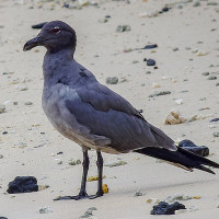
The full trail, which starts at the edge of Puerto Villamil following the coastline then goes on to the wall of tears, is the best way to familiarise yourself with the wildlife of Santa Isabela's coasts. The beach is often frequented at low tide by many wader and gull species, and numerous seabirds can also be spotted from the beaches or some of the rocky coastal viewpoints further along, for example Lava Gull , Blue-footed Booby , Hudsonian Whimbrel , Grey Plover , Semipalmated Plover , and Wandering Tattler.
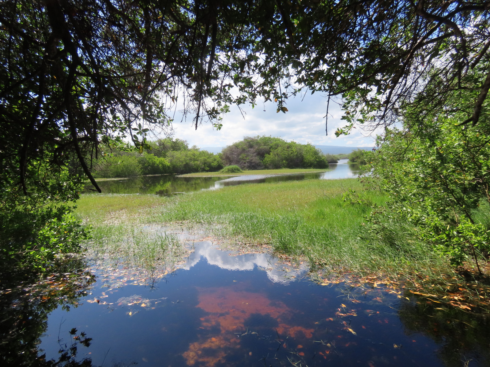
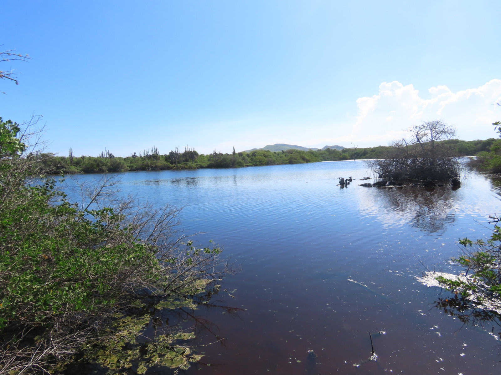
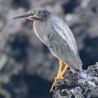
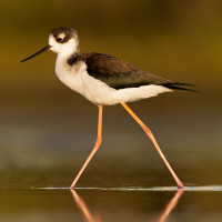
Further along, the trail passes by large brackish lagoons that serve as feeding grounds for herons and waders such as Striated Heron , Great Egret and Black-necked Stilt. These are surrounded by mangrove ecosystems that are a good place to see Yellow Warbler and Galapagos Flycatcher.
After the mangrove areas, the landscape becomes very arid and rocky, with opuntias and shrubs. This area harbours species such as Galapagos Mockingbird , Small Ground-Finch , Medium Ground-Finch , and Common Cactus-Finch. The trail is also a great place to be up close with the famous giant turtles of the archipelago, which often feed on the vegetation by the roadside.
The path has multiple observation platforms and side-paths leading to beaches or deep inside mangrove areas and lagoons.
Szczegóły
Dostęp
The path is marked by wooden road signs, just continue due West from Antonio Gil road as you leave Puerto Villamil. Cars can drive up to the checkpoint at mangrove point, then you can only proceed on foot or on a bicycle (there are bicycle rentals within the city). There are guided tours that use small busses, but these have to be booked in advance.
Under the warm tropical sun, it is a fairly tough walk, especially if you go to the three viewpoints in the hills behind the wall of tears, and so most people use bicycles. The gravel path is very flat, wide, and well-maintained, and should pose no problem. However it's perfectly possible on foot if you take regular breaks, bring enough water, and rest in one of the few rest areas placed in the shade under the trees.

 ) aby wstawić nazwy ptaków w swoim języku ojczystym. Nazwy ptaków zostaną automatycznie przetłumaczone dla innych użytkowników!