Opis
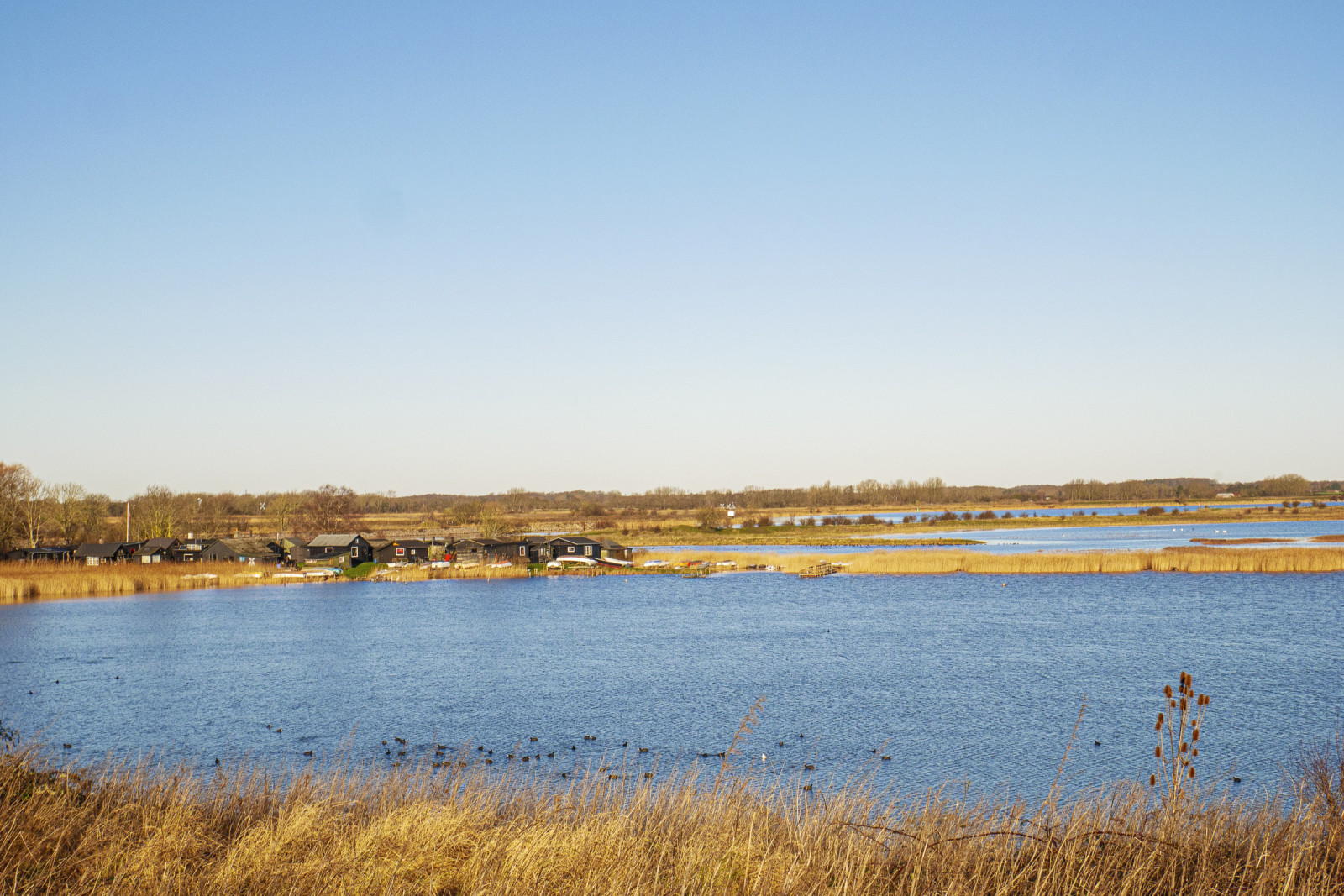
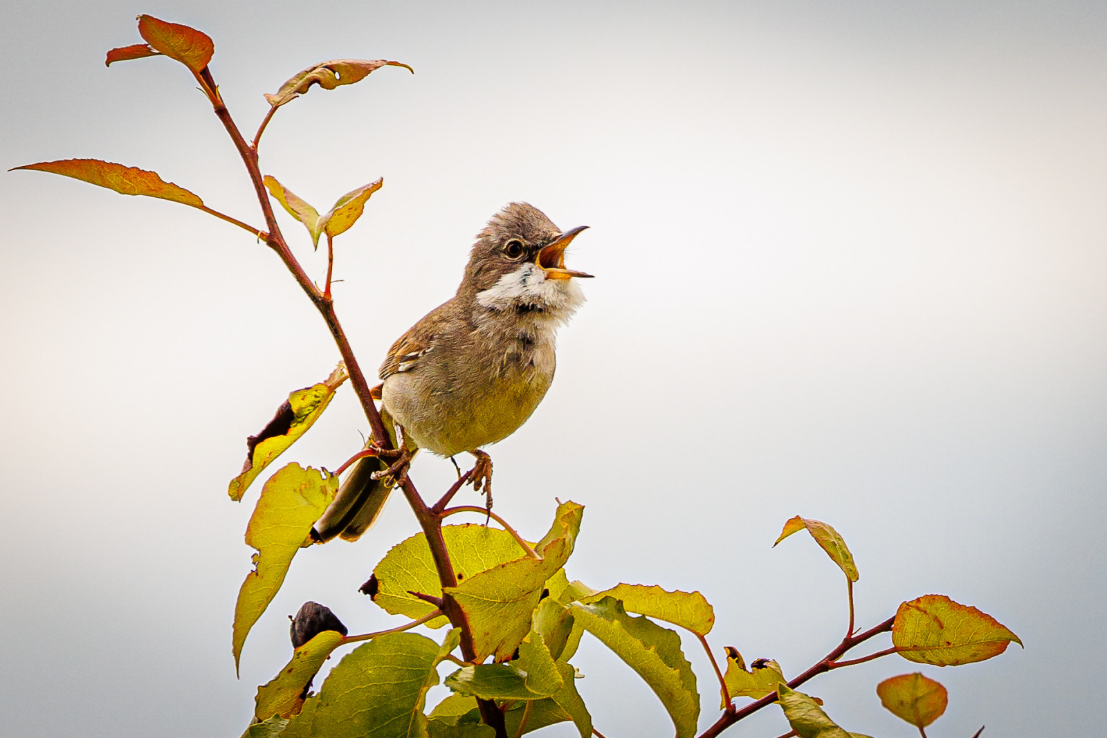
Stige ø is a peninsula between Odense Fjord and Odense Canal. Part of the island was formerly a landfill, but is now covered with soil and a popular excursion and activity area. There are walking paths, a playground, an ice house, mountain bike tracks and shelters The area has a varied nature with many bushes with small birds such as szczygieł, trznadel and cierniówka. There are also areas with reed beds where there are trzcinniczek (zwyczajny), rokitniczka and potrzos.
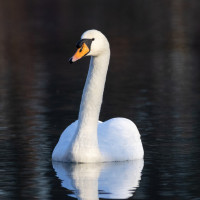
Many waterfowl are seen in the fjord and in winter large flocks of łabędź niemy, łyska are seen, and it is an important wintering site for perkozek. You can also see birds of prey, especially pustułka (zwyczajna) and myszołów, but also bielik which breeds on the nearby and sokół wędrowny which breed on the nearby Fjernvarme Fyn.
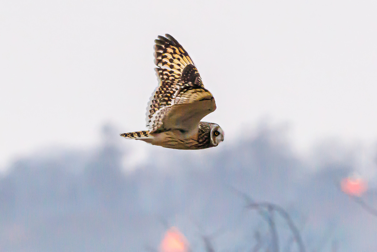
Stige Ø nord is the area north of the parking lot at Sortehusene. It is characterized by meadow areas. You enter the area through a gate, as there are livestock. There are several wading birds in the area and in winter you can see uszatka błotna. You also get quite close to Vigelsø, where bielik often is seen hunting.
Szczegóły
Dostęp
Stige Ø is located just north of the city of Odense. There is no public transport. You can get there by car or bike. The parking lot by the ice cream shop is the best starting point. The parking lot at Sortehusene is the best starting point if you want to go out to Stige Ø north. Press on a P on the map for directions to one of the parkings. During weekends and school holidays there can often be quite a lot of people out here, but you can still often find some quiet areas where you can watch birds.
Teren i siedlisko
Trzcinowiska , Morze , Rzadkie drzewa i krzewy , Tereny podmokłeWarunki
Płaski , Otwarty krajobrazTrasa dookoła
TakCzy luneta będzie przydatna ?
Może być przydatnaUdany sezon obserwacyjny
Przez cały rokNajlepszy czas na wizytę
Zima , WiosnaTrasa
Droga nieutwardzonaPoziom trudności szlaku pieszego
ŁatwyDostępne
Pieszo , RowerCzatownia/platforma obserwacyjna
TakDodatkowe informacje
The bird hide is difficult to access and does not offer better observation opportunities than from the path.
The circular route is 4 km, and can be followed by gps. There are possibilities to choose other paths.


 ) aby wstawić nazwy ptaków w swoim języku ojczystym. Nazwy ptaków zostaną automatycznie przetłumaczone dla innych użytkowników!